Go if
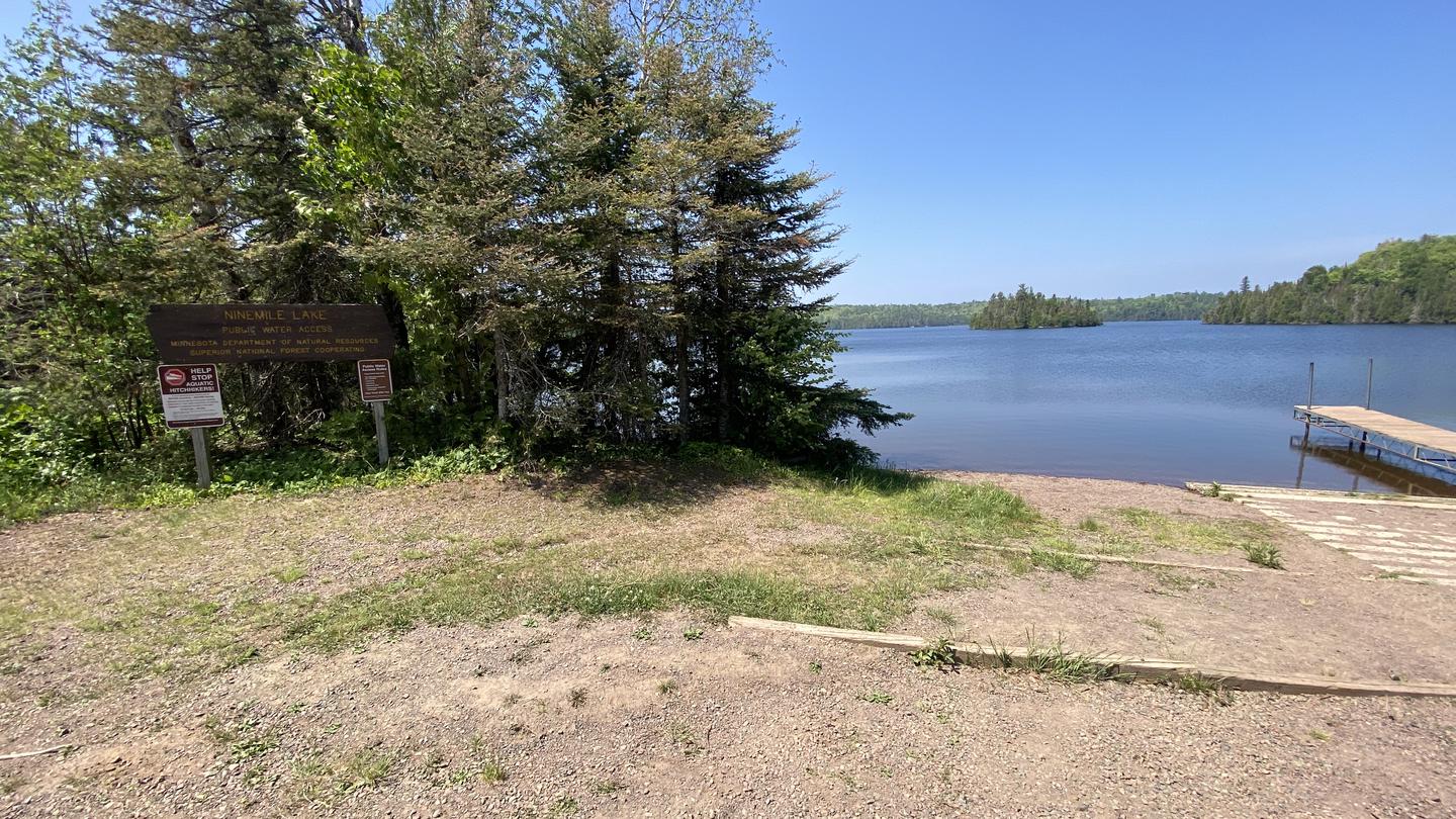
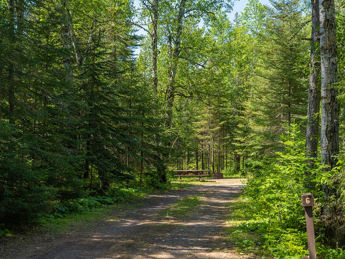
Tent campers chasing a true North Shore experience: lakefront sites, the Temperance River gorge a short walk away, minimal light pollution for stargazing, and a quieter loop than the hookup-heavy upper campground.
 4.4224 reviews
Seasonal ranking by Open-Meteo.com, licensed under CC BY 4.0, processed by Outdoorithm.
Price
Varies
Booking
Reservable
Sites
Varies
Season
Seasonal; opening an...
Cell
No Service
Pets
No Pets
Price
Varies
Booking
Reservable
Sites
Varies
Season
Seasonal; opening an...
Cell
No Service
Pets
No Pets
We'll monitor this campground and alert you the moment sites become available.
Free to start · Premium adds 2-min scans
263,000+ sites monitored · Email alerts to start; SMS and in-app with an account
Learn more about alerts →Lower Campground
Schroeder, MN, USA (no street address provided)
We'll monitor this campground and alert you the moment sites become available.
Free to start · Premium adds 2-min scans
263,000+ sites monitored · Email alerts to start; SMS and in-app with an account
Learn more about alerts →Tent campers chasing a true North Shore experience: lakefront sites, the Temperance River gorge a short walk away, minimal light pollution for stargazing, and a quieter loop than the hookup-heavy upper campground.
No electric hookups anywhere in this loop, and showers require a walk or drive to the upper campground, RVers needing power or anyone who won't rough the vault toilets will find the trade-offs frustrating.
Context for the broader area surrounding Lower Campground, sourced from the federal Recreation.gov rec-area record.
<A HREF="https://www.usbr.gov/projects/index.php?id=226">Sumner Dam</A> and Lake Sumner, features of the <A HREF="https://www.usbr.gov/projects/index.php?id=485">Carlsbad Project</A>, are on the Pecos River about 250 river miles north of Carlsbad and about 16 miles northwest of Fort Sumner, New Mexico. The Lake has 4,500 water surface acres when full with 60 miles of shoreline. Recreation is managed for Reclamation by the New Mexico State Parks. There is a visitor center operated by NM State Parks. No food service or lodging within park. Lodging is available in Fort Sumner or in Santa Rosa, 42 miles north. No concessions. Year round fishing for white bass, catfish, walleye, and bream. Scuba diving for game fish is permitted. There is stream fishing downstream from dam. Boating must conform to New Mexico regulations. There is a playground and opportunities for birdwatching.
To get to Sumner Lake State Park from the town of Fort Sumner, take US 84 northwest 10 miles, then go west on NM 203 for 6 miles.
Lower Campground appears in our curated guides. Explore more top-rated campgrounds for the same activities and regions.

Availability, what to pack, similar spots — ask anything and get an instant answer.
Lake Superior writes its own weather rules, so pack layers even in July—the big lake keeps temperatures cool and winds can pick up quickly, making evening campfires especially welcome. The campground shines from late spring through fall, with autumn's color show drawing crowds of leaf-peepers to the North Shore, while shoulder season visitors trade predictability for solitude and the chance to experience the lake's more temperamental moods with fewer neighbors.
North Shore fall color, quieter conditions and scenic trails make fall excellent.
Weather data by Open-Meteo.com, licensed under CC BY 4.0, processed by Outdoorithm.
Reservation tips, booking windows, and free cancellation alerts.
Lower Campground offers vault (pit) toilets, potable water spigots (and a nearby spring noted by campers), site fire rings and picnic tables. There are no electric site hookups; showers and flush toilets are located in the upper campground. Cell service is variable/moderate along Highway 61.
Researching this campground? Ask anything — other campers and our team will weigh in. No visit required.
Short heads-ups about the road in, gear quirks, and timing, compiled by Outdoorithm from public reviews and operator information.
Rate Lower Campground
Been here? Tap a star to start. Takes about a minute.
Sign-in required only if you want your name on it.

Be the first to review this campground
Every adventure creates another. Share what you learned so the next camper feels a little more prepared heading out.