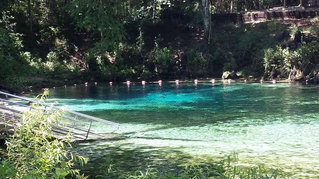
Grayton Beach State Park Campground 3

Star4.62
81 reviews
Grayton Beach State Park Campground 3
Top 23% in FLSpring
Romantic GetawayScenic ViewsSwimmingSummer Destination

Quick Facts

Price

Varies

Booking

Reservable

Sites

59 campsites

Season

Year-round

Cell

No Service

Pets

Pets Allowed

Full HookupsShowersWiFi
Get Directions

Campground Map

Grayton Beach State Park Campground 3

Grayton Beach State Park Campground 3

30.3316, -86.1572

Nearby places
Seaside
WaterColor
Destin
Panama City Beach

Weather at Grayton Beach State Park Campground 3


About Grayton Beach State Park Campground 3


Planning your trip?Check out our camping packing checklist


Grayton Beach State Park Campground 3
No fees available
Campsite Fees
No campsite fee categories listed.

Get Notified When Available

We'll monitor this campground and alert you the moment sites become available.

Free to start · paid plans add 2-min scans

256,000+ sites monitored · Email alerts to start; SMS and in-app with an account

Learn more about alerts →
Share this campground
Florida State Parks
Provider

Go if

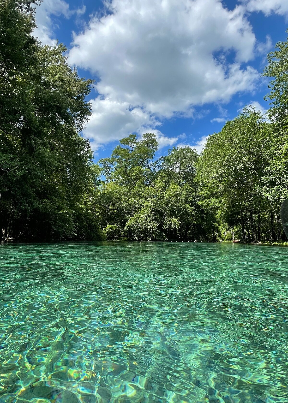
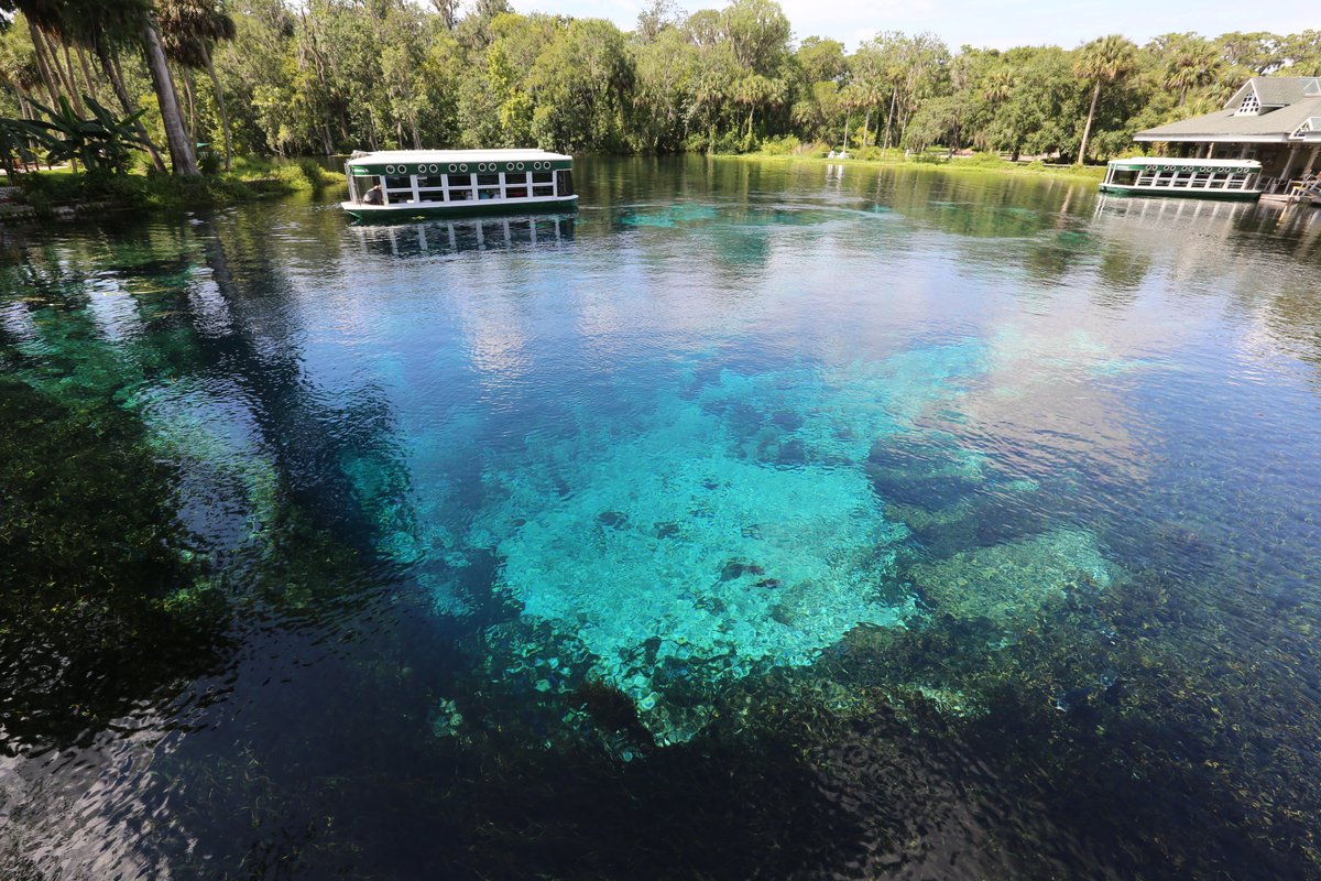
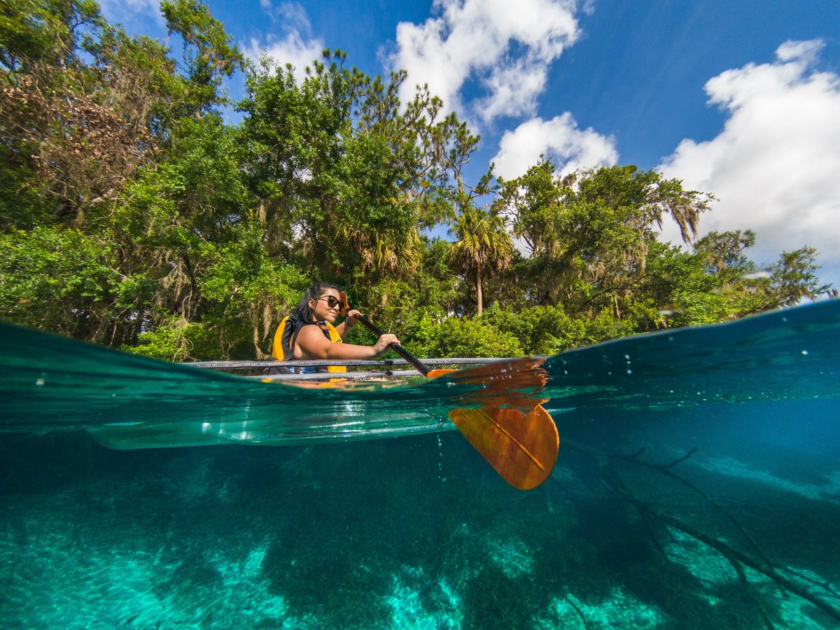
Snorkelers and swimmers who can handle 72°F water will get the most out of this place; the spring run is short enough for a casual paddle and on-site rentals mean you don't have to haul gear. Weekday visits in March or April hit the sweet spot before summer humidity and mosquitoe

Skip if

A bumpy dirt access road greets you before you even park, campsites read as dated and bare-bones, and weekend crowds compress everyone into a small area in ways that have produced more than the usual share of tense interactions between visitors, if a low-friction, easygoing atmos


Campgrounds
Grayton Beach State Park
Grayton Beach State Park Campground 3
C-

Camper Report Card

How campers graded it

Rated higher than 1% of graded campgrounds

Graded on what 127 campers actually wrote - graded on 14 things that make or break a trip. Each topic is graded against every other campground on it - A is among the best, C about average. No star ratings.

Strengths

  • Grade B+.Things to do
  • Grade B-.Value
  • Grade C+.Scenery

Watch-outs

  • Grade F.Facilities
  • Grade F.Cleanliness
  • Grade F.Campsites

Every grade - tap to see what campers said

Each topic is graded against every other campground on it; a topic campers liked never grades below C−. ± shows the 95% confidence range from the sample size.

About New Melones Lake

Context for the broader area surrounding Grayton Beach State Park Campground 3, sourced from the federal Recreation.gov rec-area record.

<A HREF="http://www.usbr.gov/projects/Facility.jsp?fac_Name=New+Melones+Dam">New Melones Dam</a> and Reservoir are part of the <A HREF="http://www.usbr.gov/projects/Project.jsp?proj_Name=New Melones Unit Project">Central Valley Project - New Melones Unit</a> operated by the Bureau of Reclamation. Located 60 miles upstream on the Stanislaus River from the confluence of the San Joaquin River. The reservoir has a capacity of 2.4 million acre feet of water with 100 miles of shoreline, and a water surface area of 12,500 acres. New Melones is located between the historic mining towns of Sonora and Angels Camp on Highway 49 and is nestled in the Foothill Oak Woodlands of the Sierras at the 1100 ft elevation. Summer temperatures range from 85-100F and winter range from 32-60F.Gloryhole Recreation Area has two campgrounds (Big Oak and Ironhorse) with 144 campsites, 3 day-use areas, 30 miles of hiking/biking trails, a fish cleaning station, a swim beach, and 2 boat launch ramps with parking lots. A full service marina and store complete with fuel and boat rentals are available. Tuttletown Recreation Area has 3 campgrounds (Acorn, Chamise, and Manzanita) with 161 campsites, 2 day-use areas, a boat launch ramp with parking lot, an RV dump station, and fish cleaning station. Two group campgrounds are available by reservation only.Campsites in both recreation areas have a combination of back in, pull through, and walk-in tent sites, complete with fire rings, picnic tables, shade trees, shared water, and flush toilets (with showers available in selected restrooms). Camping sites can accommodate up to 8 people with 2 vehicles, and do not have hookups. Dogs are allowed but must be kept on a leash at all times.A year-round visitor center/musem is located on Highway 49 just south of the Stanislaus River bridge and is open from 10:00-4:00 daily. Features include a variety of exhibits highlighting the area's prehistory, the gold rush era of the "submerged town" of Melones, water management and conservation. Ranger-guided nature hikes and visitor center programs are provided year round, and evening campground programs are provided during the summer months.New Melones Lake is noted for outstanding year-round fishing for both cold and warm water species, and outstanding boating. Nature viewers and birders will find a number of species common to the Foothill Oak Woodland, with an occasional Bald Eagle and Osprey. Hikers and mountain bikers will enjoy the numerous trails through the woodland areas.

Directions

From Sacramento, drive 46 miles south on I-5 to Stockton. At Stockton, east on California Highway 4 for 56 miles to Angels Camp. The Park headquarters is 8 miles south of Angels Camp along Highway 49.

Download area map (PDF)