Go if
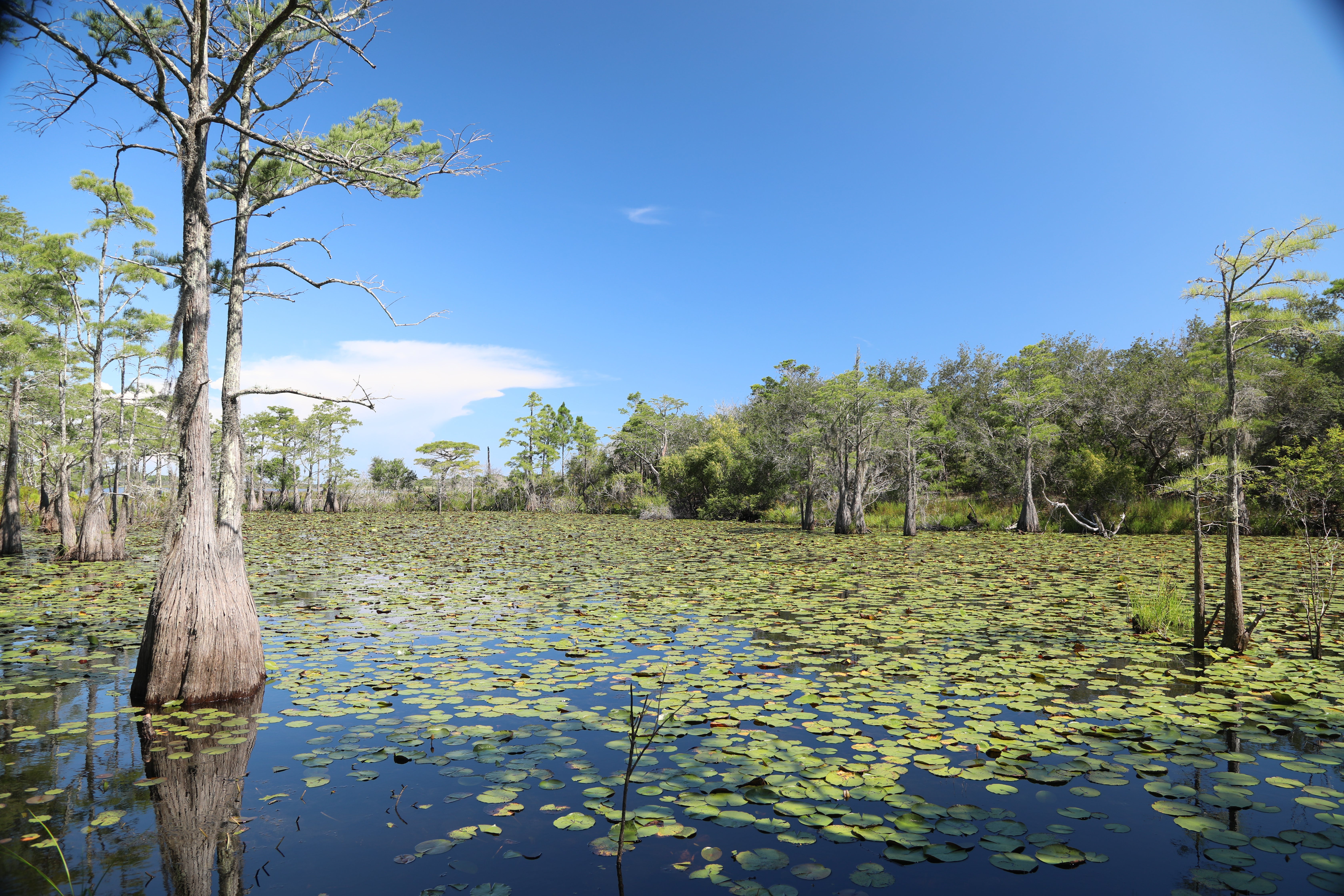
Equestrians, mountain bikers, and hikers who want water and 30/50-amp electric without driving far for supplies. Sites 3, 4, and 5 are the pick for level ground, and fall visits bring wading birds to the prairie with far fewer mosquitoes.
 4.6281 reviews
Seasonal ranking by Open-Meteo.com, licensed under CC BY 4.0, processed by Outdoorithm.
Price
Varies
Booking
Reservable
Sites
14 campsites
Season
Open 8 a.m. until su...
Cell
Has Service
Pets
Pets Allowed
Price
Varies
Booking
Reservable
Sites
14 campsites
Season
Open 8 a.m. until su...
Cell
Has Service
Pets
Pets Allowed
We'll monitor this campground and alert you the moment sites become available.
Free to start · Premium adds 2-min scans
263,000+ sites monitored · Email alerts to start; SMS and in-app with an account
Learn more about alerts →Grayton Beach State Park Campground
10660 S.W. Highway 200, Dunnellon FL 34431
We'll monitor this campground and alert you the moment sites become available.
Free to start · Premium adds 2-min scans
263,000+ sites monitored · Email alerts to start; SMS and in-app with an account
Learn more about alerts →Equestrians, mountain bikers, and hikers who want water and 30/50-amp electric without driving far for supplies. Sites 3, 4, and 5 are the pick for level ground, and fall visits bring wading birds to the prairie with far fewer mosquitoes.
Tent campers won't find a site here, and RVers who need sewer hookups or shade between sites will be disappointed. SR 200 road noise carries into the campground at night, and the open gravel layout offers almost no privacy.
Camper Report Card
Rated higher than 36% of graded campgrounds
Graded on what 71 campers actually wrote - graded on 14 things that make or break a trip. Each topic is graded against every other campground on it - A is among the best, C about average. No star ratings.
Strengths
Watch-outs
Each topic is graded against every other campground on it; a topic campers liked never grades below C−. ± shows the 95% confidence range from the sample size.
Context for the broader area surrounding Grayton Beach State Park Campground, sourced from the federal Recreation.gov rec-area record.
<A HREF="http://www.usbr.gov/projects/Facility.jsp?fac_Name=New+Melones+Dam">New Melones Dam</a> and Reservoir are part of the <A HREF="http://www.usbr.gov/projects/Project.jsp?proj_Name=New Melones Unit Project">Central Valley Project - New Melones Unit</a> operated by the Bureau of Reclamation. Located 60 miles upstream on the Stanislaus River from the confluence of the San Joaquin River. The reservoir has a capacity of 2.4 million acre feet of water with 100 miles of shoreline, and a water surface area of 12,500 acres. New Melones is located between the historic mining towns of Sonora and Angels Camp on Highway 49 and is nestled in the Foothill Oak Woodlands of the Sierras at the 1100 ft elevation. Summer temperatures range from 85-100F and winter range from 32-60F.Gloryhole Recreation Area has two campgrounds (Big Oak and Ironhorse) with 144 campsites, 3 day-use areas, 30 miles of hiking/biking trails, a fish cleaning station, a swim beach, and 2 boat launch ramps with parking lots. A full service marina and store complete with fuel and boat rentals are available. Tuttletown Recreation Area has 3 campgrounds (Acorn, Chamise, and Manzanita) with 161 campsites, 2 day-use areas, a boat launch ramp with parking lot, an RV dump station, and fish cleaning station. Two group campgrounds are available by reservation only.Campsites in both recreation areas have a combination of back in, pull through, and walk-in tent sites, complete with fire rings, picnic tables, shade trees, shared water, and flush toilets (with showers available in selected restrooms). Camping sites can accommodate up to 8 people with 2 vehicles, and do not have hookups. Dogs are allowed but must be kept on a leash at all times.A year-round visitor center/musem is located on Highway 49 just south of the Stanislaus River bridge and is open from 10:00-4:00 daily. Features include a variety of exhibits highlighting the area's prehistory, the gold rush era of the "submerged town" of Melones, water management and conservation. Ranger-guided nature hikes and visitor center programs are provided year round, and evening campground programs are provided during the summer months.New Melones Lake is noted for outstanding year-round fishing for both cold and warm water species, and outstanding boating. Nature viewers and birders will find a number of species common to the Foothill Oak Woodland, with an occasional Bald Eagle and Osprey. Hikers and mountain bikers will enjoy the numerous trails through the woodland areas.
From Sacramento, drive 46 miles south on I-5 to Stockton. At Stockton, east on California Highway 4 for 56 miles to Angels Camp. The Park headquarters is 8 miles south of Angels Camp along Highway 49.
Grayton Beach State Park Campground appears in our curated guides. Explore more top-rated campgrounds for the same activities and regions.

Availability, what to pack, similar spots — ask anything and get an instant answer.
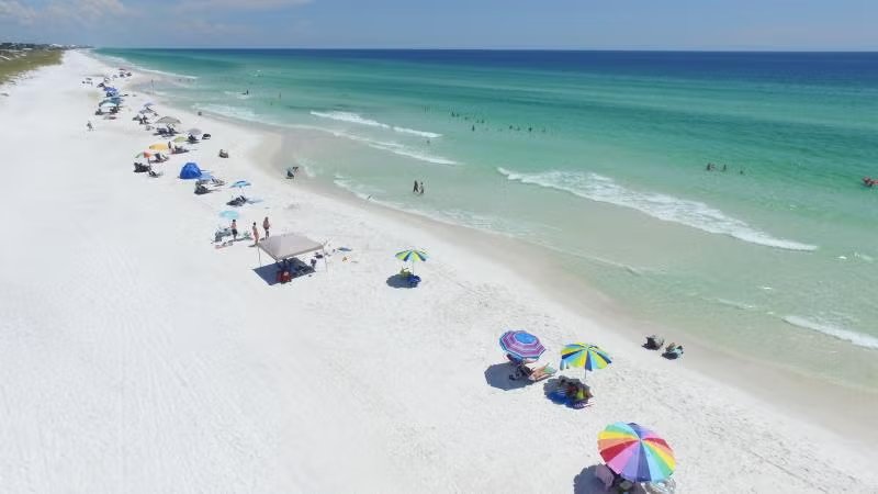
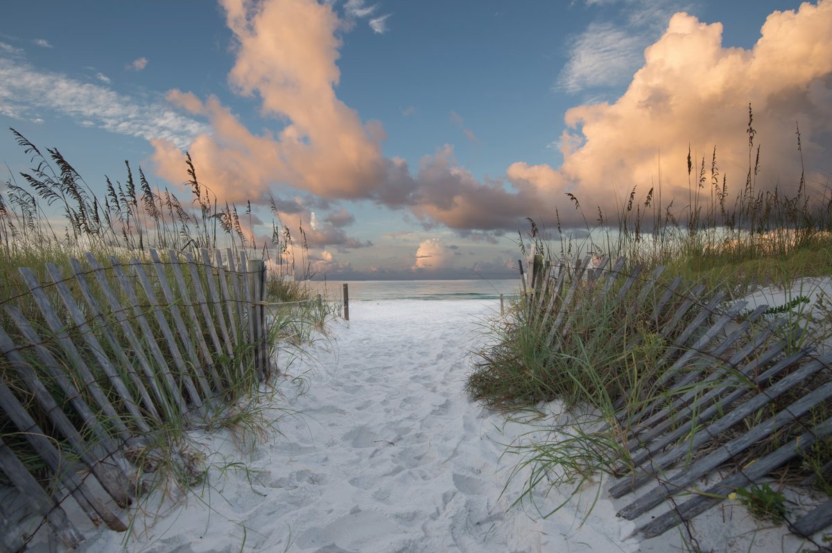
Best seasons reported by visitors are spring (March–May) and fall (October–November) for moderate temperatures and lighter crowds. Summer brings peak beach conditions but also high heat, humidity, frequent afternoon thunderstorms, and heavy visitation; winter is generally pleasant for hiking and camping though water may be cool.
Spring (Mar–May) highlighted for moderate temps, lighter crowds and excellent beach conditions.
Weather data by Open-Meteo.com, licensed under CC BY 4.0, processed by Outdoorithm.
Reservation tips, booking windows, and free cancellation alerts.
Full-service campground with bathhouses, potable water, picnic tables and fire rings/grills; RV services include electrical and water hookups and a dump station. Pets are allowed in designated areas (leash required).
Researching this campground? Ask anything — other campers and our team will weigh in. No visit required.
Short heads-ups about the road in, gear quirks, and timing, compiled by Outdoorithm from public reviews and operator information.
Rate Grayton Beach State Park Campground
Been here? Tap a star to start. Takes about a minute.
Sign-in required only if you want your name on it.

Be the first to review this campground
Every adventure creates another. Share what you learned so the next camper feels a little more prepared heading out.