Go if
RV campers who book 11 months out and come in fall or winter get the best of it: mild temps, manatees in the spring run, and sites with water and electric under real hardwood canopy a short walk from the boardwalk.
 4.53288 reviews
Seasonal ranking by Open-Meteo.com, licensed under CC BY 4.0, processed by Outdoorithm.
Price
Varies
Booking
Reservable
Sites
80 campsites
Season
Year-round
Cell
No Service
Pets
Pets Allowed
Price
Varies
Booking
Reservable
Sites
80 campsites
Season
Year-round
Cell
No Service
Pets
Pets Allowed
We'll monitor this campground and alert you the moment sites become available.
Free to start · Premium adds 2-min scans
263,000+ sites monitored · Email alerts to start; SMS and in-app with an account
Learn more about alerts →Manatee Springs State Park Loop Mag2
11650 N.W. 115 St., Chiefland, FL 32626
We'll monitor this campground and alert you the moment sites become available.
Free to start · Premium adds 2-min scans
263,000+ sites monitored · Email alerts to start; SMS and in-app with an account
Learn more about alerts →RV campers who book 11 months out and come in fall or winter get the best of it: mild temps, manatees in the spring run, and sites with water and electric under real hardwood canopy a short walk from the boardwalk.
Large rigs will fight the narrow, sandy loop roads, bring leveling blocks regardless. Cell service is effectively gone here, Verizon especially, so anyone expecting to work remotely or stay connected should know that driving several miles out may be the only fix.
Context for the broader area surrounding Manatee Springs State Park Loop Mag2, sourced from the federal Recreation.gov rec-area record.
Completed in 1970, <A HREF="http://www.usbr.gov/dataweb/dams/ca10192.htm">Stampede Dam</a> and Reservoir are located on the Little Truckee River immediately below the mouth of Davies Creek and approximately 8 miles above the confluence of the Little Truckee and Truckee Rivers. The dam and reservoir are features of the <A HREF="http://www.usbr.gov/dataweb/html/washoe.html">Washoe Project</a>. Open year-round (frozen during winter). A surface area of approximately 3,340 acres at full reservoir storage with 25 miles of shoreline. Fishing season is year-round, with ice fishing during the winter. Available species include kokanee salmon, rainbow, brook, brown and lake (mackinaw) trout. A California Department of Fish and Game target fishery for hatchery catchables. Access by paved road.
Site is 7 miles north of I-80 near Truckee, California.
Manatee Springs State Park Loop Mag2 appears in our curated guides. Explore more top-rated campgrounds for the same activities and regions.

Availability, what to pack, similar spots — ask anything and get an instant answer.
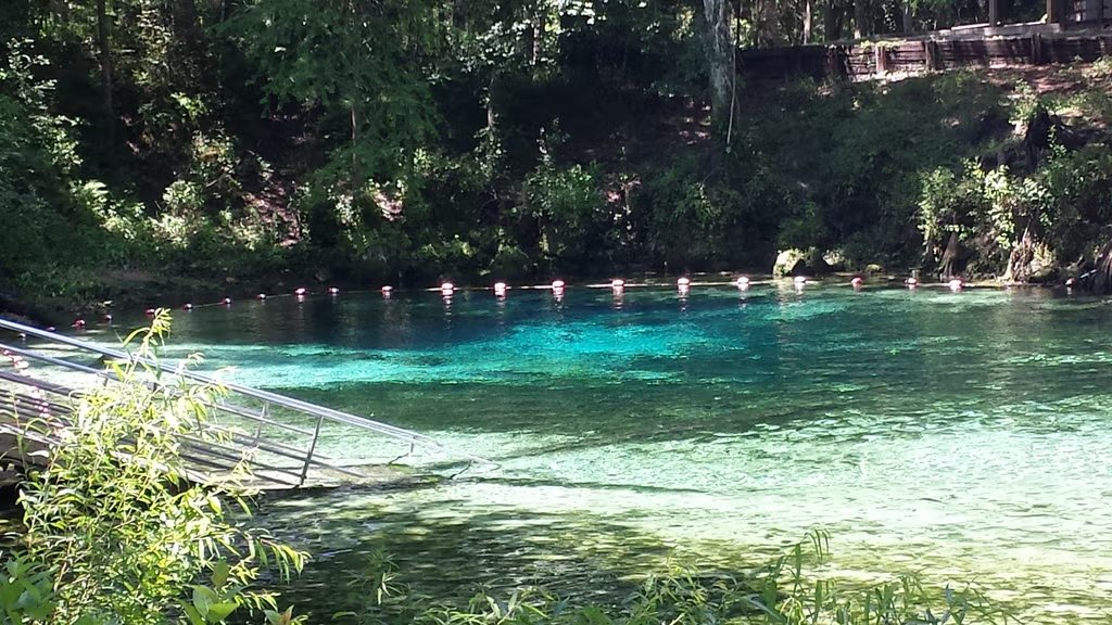
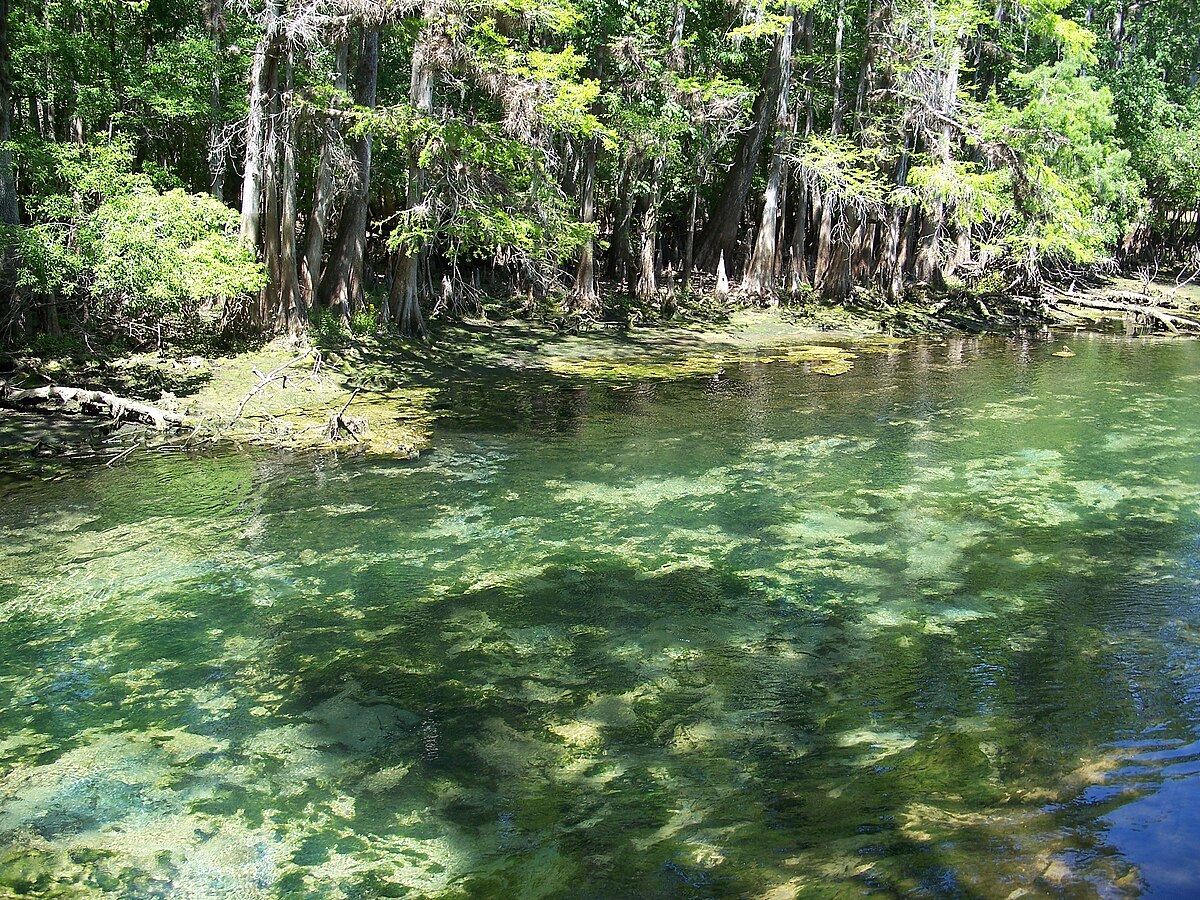
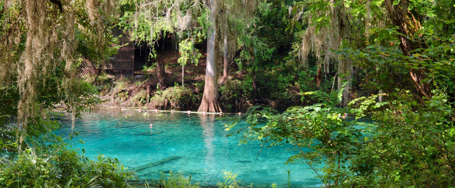
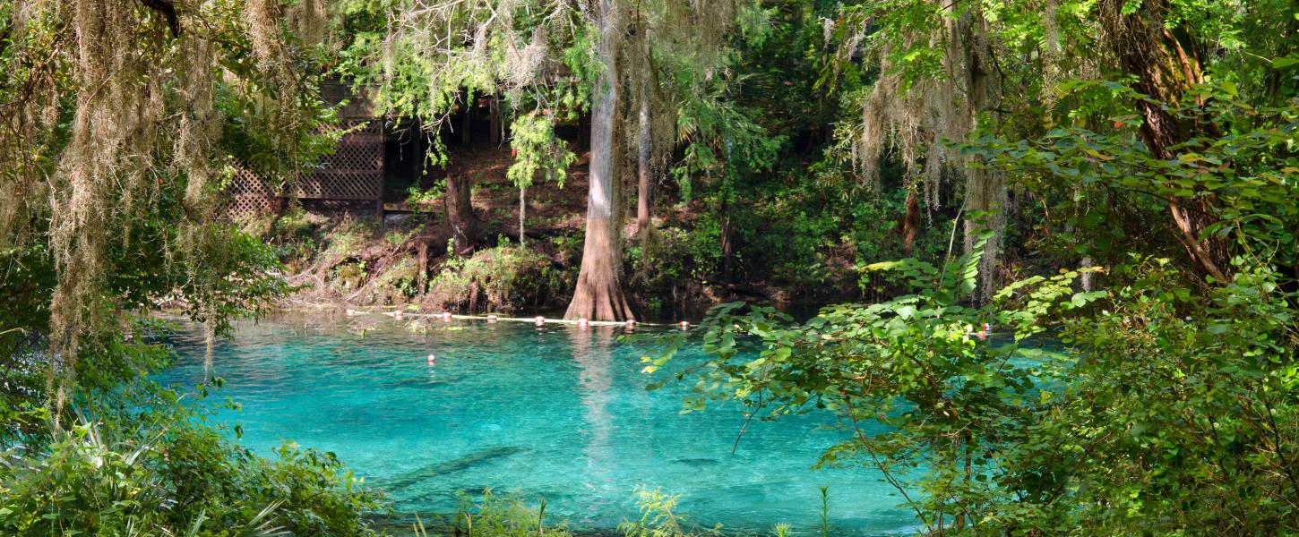
Fall delivers the best balance: daytime highs in the 70s–80s°F, nights in the 50s–60s°F, lower humidity, and easier hiking and biking without summer heat and bugs. The spring stays 72°F year-round, so swimming, paddling, and snorkeling work any season. Winter brings cooler temps and the best manatee viewing. 15 to 20 animals can congregate in the spring run on a single day, and rangers run interpretive programs. Summer is hot and humid but the cold spring water feels like relief. Crowds peak in winter during manatee season and on summer holiday weekends.
Fall cited as best balance: milder temps (70s–80s), lower humidity, easier hiking/biking.
Weather data by Open-Meteo.com, licensed under CC BY 4.0, processed by Outdoorithm.
Reservation tips, booking windows, and free cancellation alerts.
Loop MAG2 (Magnolia 2) is part of the family campground that shares park amenities: hot shower restrooms, water and electrical hookups at sites, a drive-up dump station, picnic tables and grills, and campfire/campfire-circle options. ADA restrooms/showers are available in Magnolia 1 and Hickory loops; the park sells firewood at the concession or ranger station.
Researching this campground? Ask anything — other campers and our team will weigh in. No visit required.
Short heads-ups about the road in, gear quirks, and timing, compiled by Outdoorithm from public reviews and operator information.
Rate Manatee Springs State Park Loop Mag2
Been here? Tap a star to start. Takes about a minute.
Sign-in required only if you want your name on it.

Be the first to review this campground
Every adventure creates another. Share what you learned so the next camper feels a little more prepared heading out.