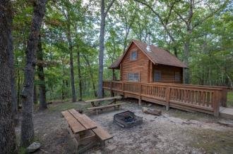
Campground 1 at Lake of the Ozarks State Park sits among wooded coves along Missouri's largest lake, offering 245 campers' worth of experience (4.6/5 rating) and a mix of tent sites, RV hookups, yurts, and outpost cabins. Section 4 is known for lakefront views and proximity to the swim beach, boat ramps, and marina. The park sits at 823 feet in the Ozark Highlands near Brumley.
Year-round campsites plus outpost cabins and yurts; the campground accommodates both tent and RV camping and includes organized group camp facilities elsewhere in the park.
Weather and SeasonsSummer delivers reliably warm lake water and full park services, with daytime highs in the mid-80s to low-90s°F and humid nights. Afternoon thunderstorms and mosquitoes are common. Expect busy weekends and crowded boat ramps. Spring and fall offer comfortable temperatures, fall color in October, blooming dogwoods in April, and lighter crowds. September reviews call this one of Missouri's best state park campgrounds. Winter campers find solitude and still lake views but should prepare for limited services (some heated shower houses close, vault toilets only) and cold conditions.
Weather data by Open-Meteo.com, licensed under CC BY 4.0, processed by Outdoorithm.
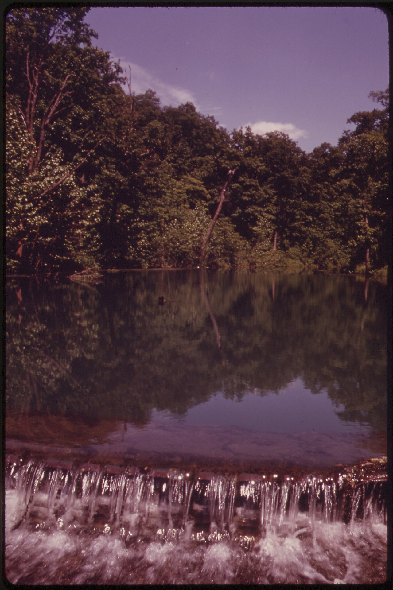
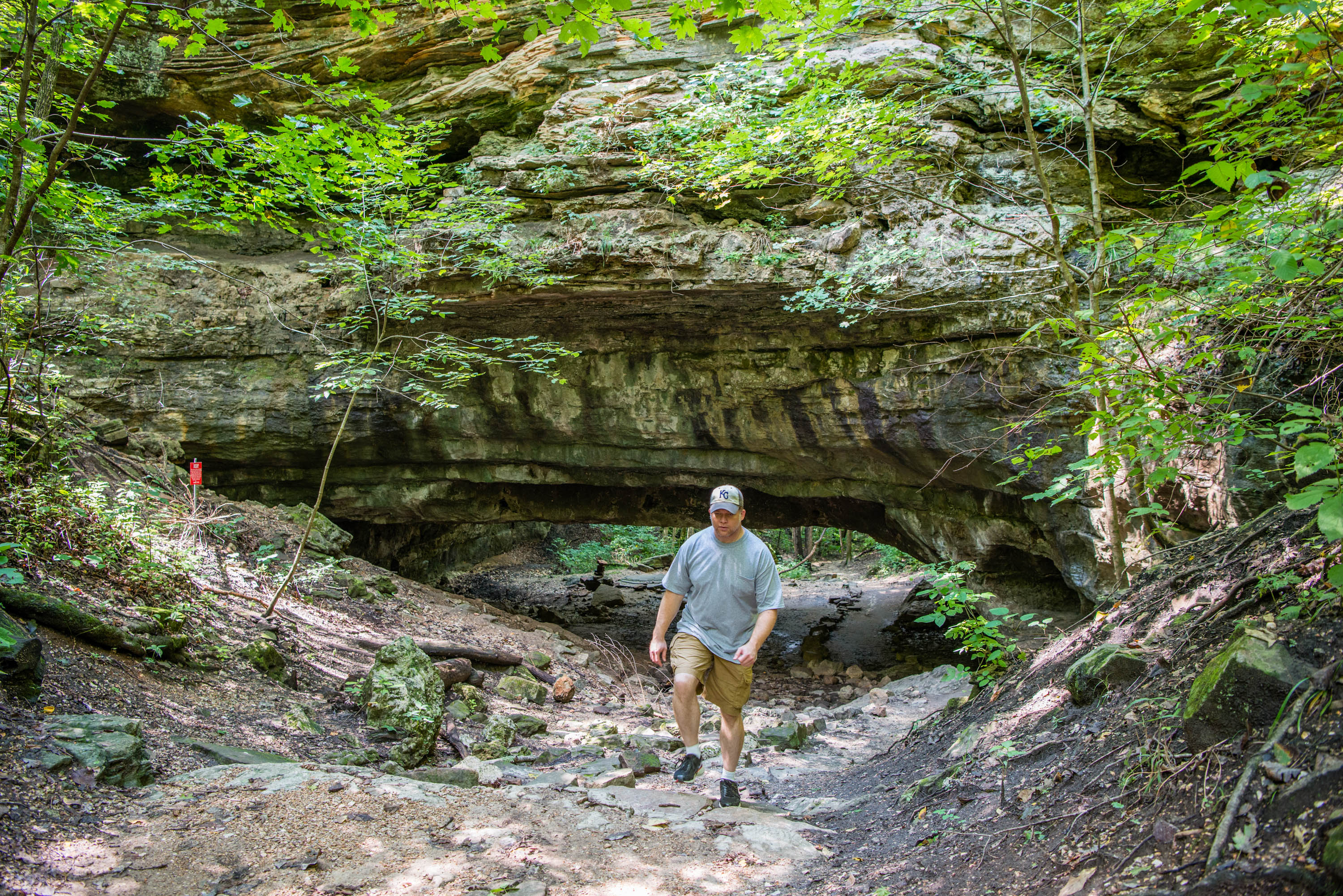
Natural Features and SceneryOak and hickory forest shades most sites, with some backing directly onto quiet lake coves and others a short walk from the shoreline. Trails wind through glades and cross small streams before climbing to rocky bluffs overlooking the lake. Deer wander freely through camp at dawn and dusk, comfortable around tents and RVs. Section 4 sites near the water offer unobstructed views over the cove, especially appealing when boat traffic drops in shoulder seasons. Steep banks and rocky edges at many lakeside pads make them better for kayak launches and scenery than wading, though sandy beaches are a short walk away. Summer evenings bring fireflies. Chiggers live in the wooded understory along trails like Woodland Trail.
Geological RegionOzark Highlands
Scenic ViewsSome campsites and loops have bluff-top or filtered views of the lake; lakeside sites and sites in Section 4 are frequently noted for the best water vistas.
 4.58
4.58