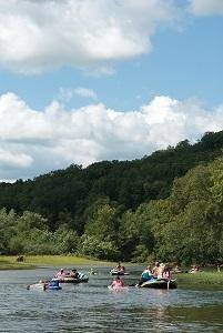
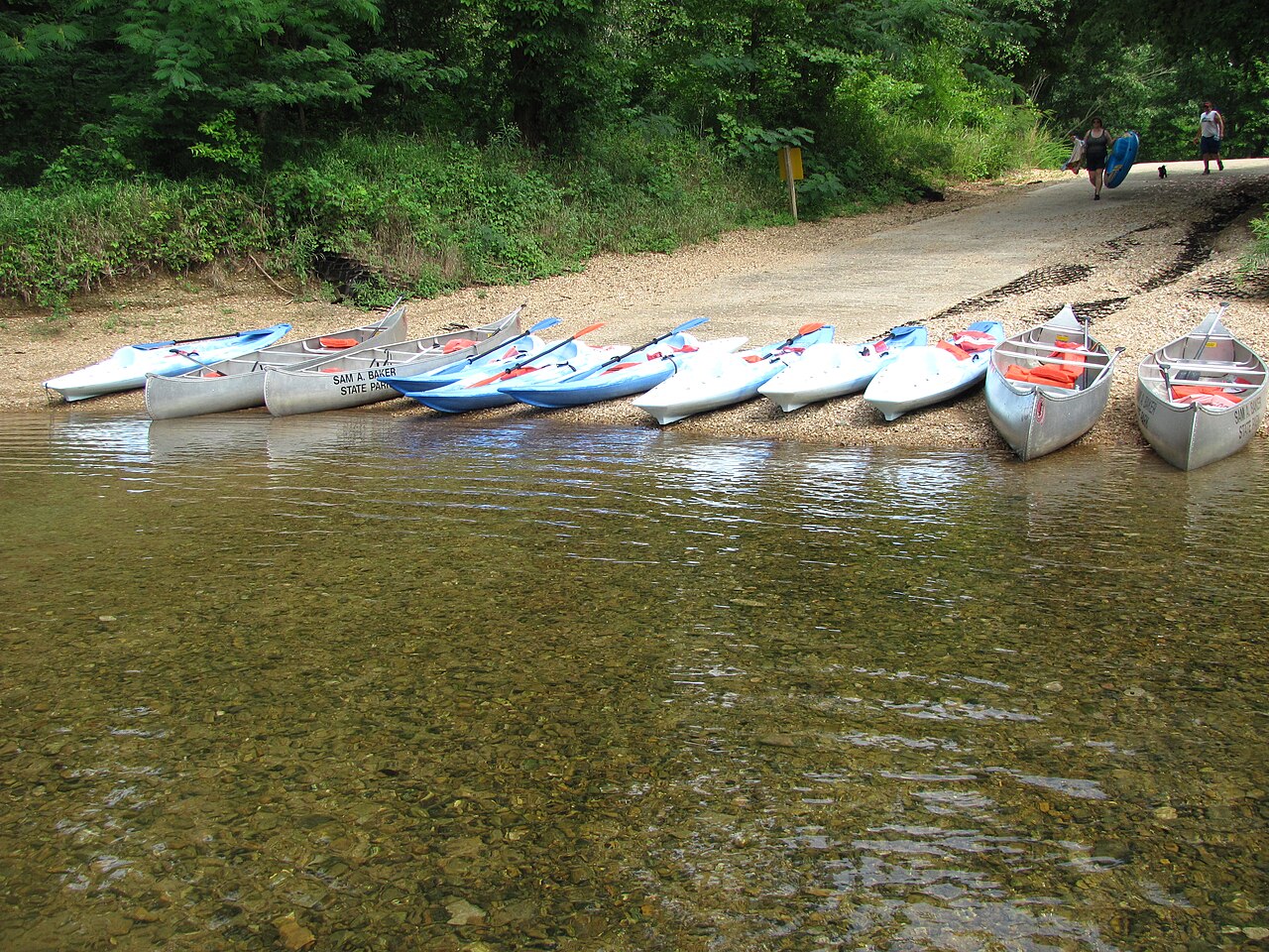
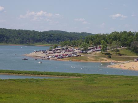
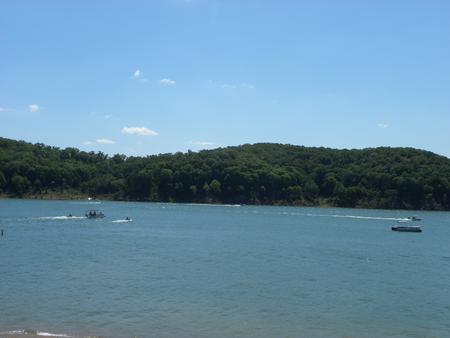
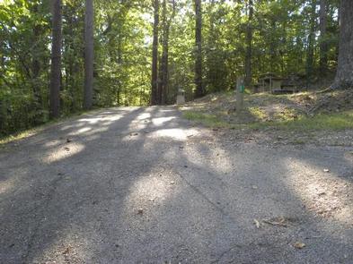
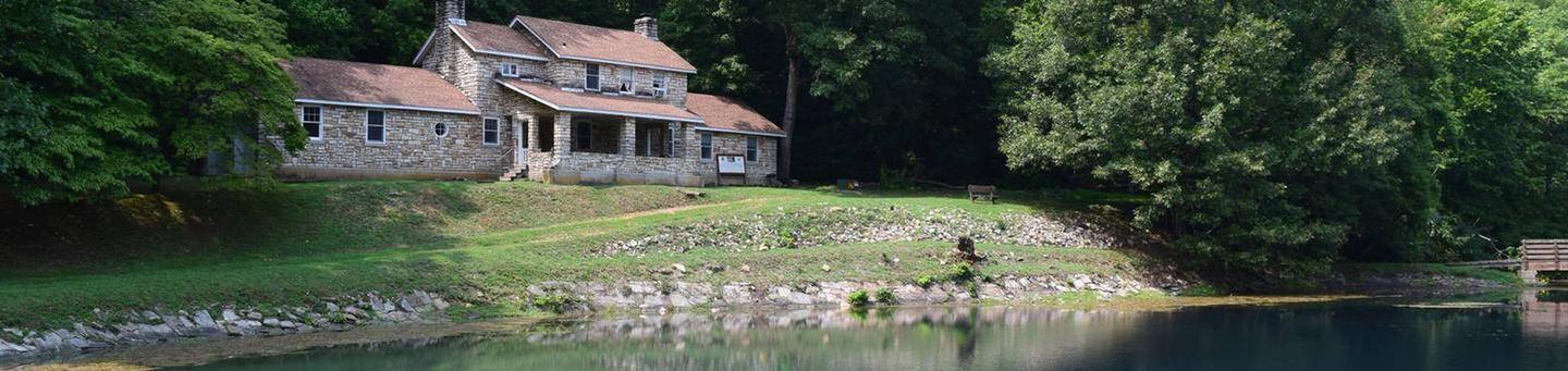
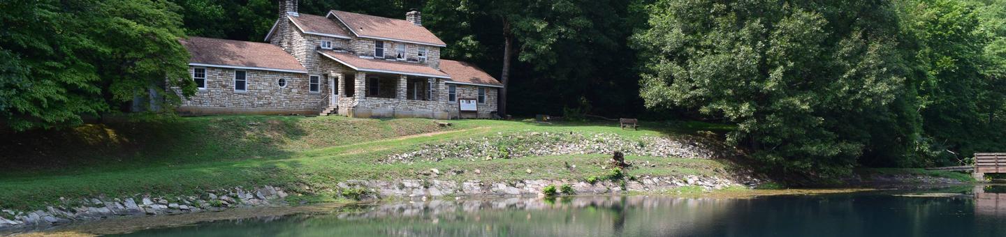
Nestled in the shade of towering hardwoods, Campground 1 offers 43 sites where the forest meets the water. You'll be just steps from the crystal-clear St. Francis River and Big Creek, with a boat ramp nearby and miles of mountain trails waiting to be explored. Whether you're here to paddle, fish, hike the St. Francois Mountains, or simply relax by the river, you'll find everything you need—from the nature center to the camp store—right in the park.
Campground 1 is one of the park's two large campgrounds and is identified in secondary sources as supporting tent and RV camping with electric sites; cabins are present elsewhere in the park but not in Campground 1.
Historical Significance
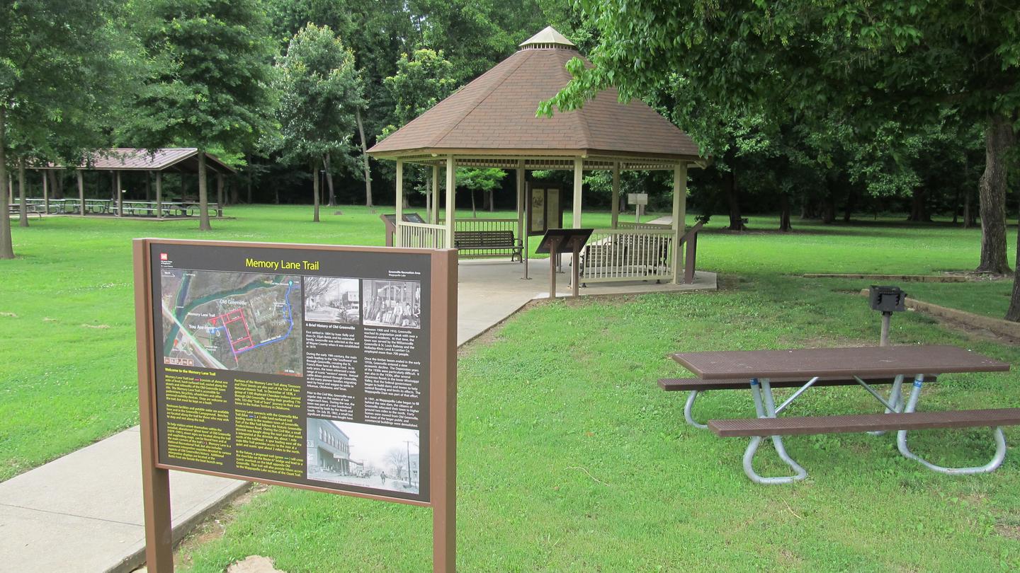
The park contains cultural-history exhibits in its nature center and long-standing park facilities (cabins, lodge and other structures) that reflect the park's history. (Additional CCC-era construction is noted in park histories.)Weather and SeasonsThe campground welcomes visitors from April through October, when the park is fully staffed and all amenities are available. Summer brings warm days perfect for floating the river, though you'll share the experience with fellow campers—especially on holiday weekends when the park comes alive with activity. For a more peaceful experience, consider visiting in the shoulder seasons of spring or fall, when the trails are yours to enjoy and the temperatures are ideal for hiking through the mountains.
Weather data by Open-Meteo.com, licensed under CC BY 4.0, processed by Outdoorithm.
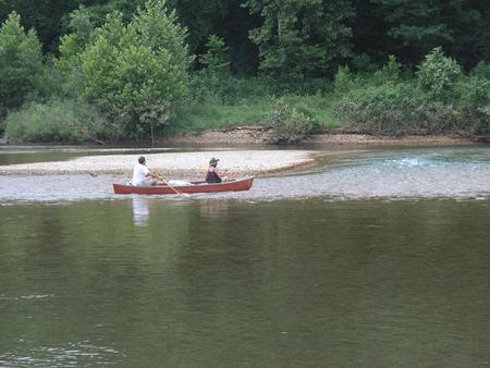
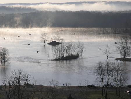
Natural Features and SceneryYour campsite sits beneath a canopy of shade trees, with the sounds of flowing water never far away. The St. Francis River and Big Creek wind through the landscape, creating natural gravel bars and rocky channels that define the beauty of the Ozarks. Exposed bedrock shut-ins tell the story of ancient geology, while forested ridges rise around you. The clear, inviting waters of the river and creek beckon you to wade in, take a swim, or launch your kayak for an afternoon of exploration.
Geological RegionSt. Francois Mountains (Ozark Highlands)
Scenic ViewsCampground 1 offers close riverfront views, easy access to gravel bars and nearby riparian scenery where the St. Francis River and Big Creek approach each other. Park trails and river shorelines provide views of rocky cascades and forested Ozark ridges.
 4.35
4.35