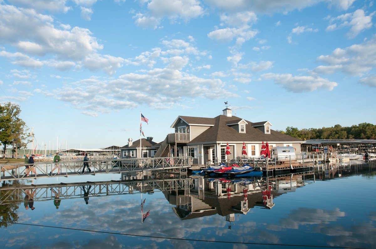
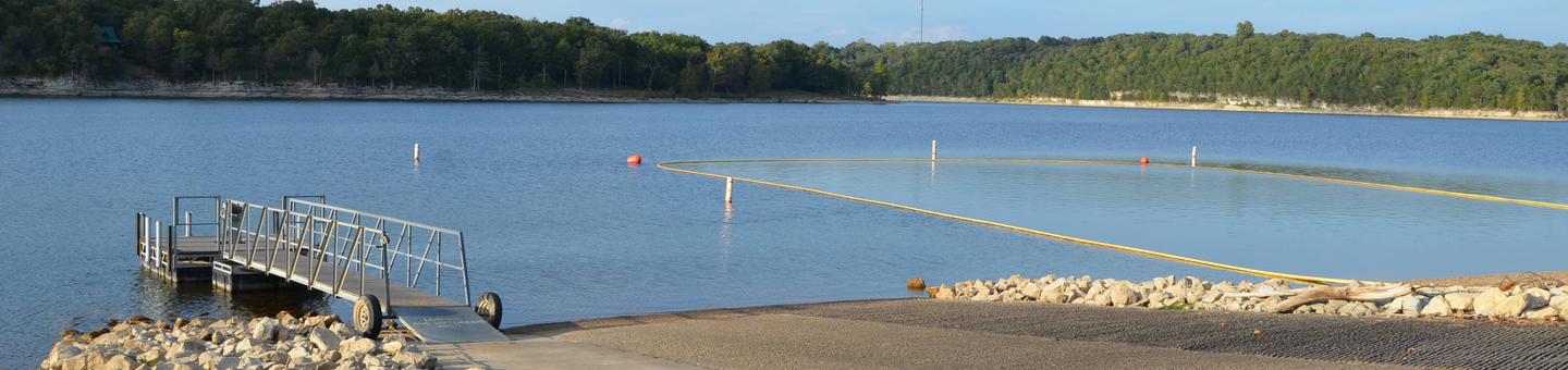
This campground sits along Table Rock Lake's northern shore, five miles west of the Highway 76/165 junction and 15 minutes from downtown Branson. The park offers tent sites, RV hookups, and six premium yurts spread beneath mature oak and hickory trees. Reviewers consistently praise the clean facilities and spacious sites, though Wi-Fi quality remains hit-or-miss.
Campground contains basic (non-hookup), electric, and sewer/electric/water campsites along the shoreline; the park also offers six premium yurts for lodging.
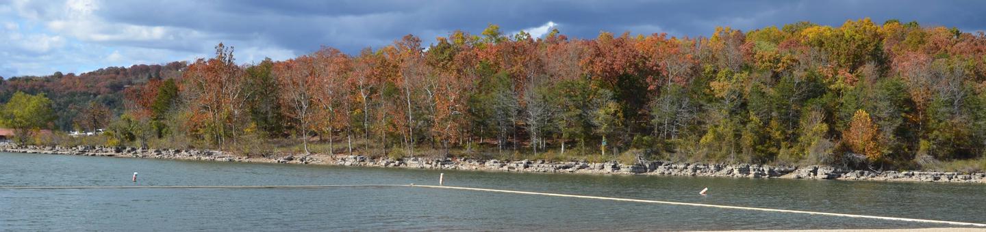
Weather and SeasonsFall brings mid-50s to mid-70s°F days and 35–50°F nights, with oak and hickory color peaking in October. The lake stays calm and warm enough for late-season fishing and boating, while post-Labor Day crowds thin out considerably. All park amenities. Marina, restrooms, showers. Remain open through November. Summer draws the most visitors and warmest water temperatures. Early spring (before leaf-out) delivers unobstructed lake views from the trails.
Weather data by Open-Meteo.com, licensed under CC BY 4.0, processed by Outdoorithm.
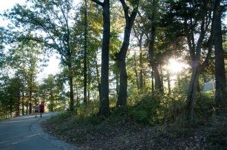
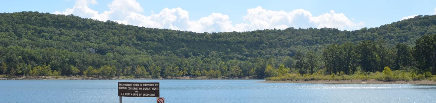
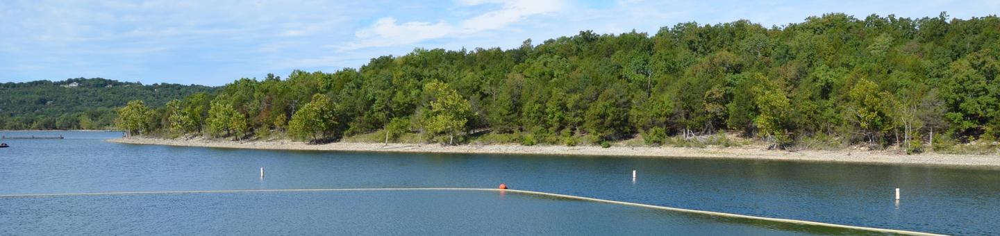
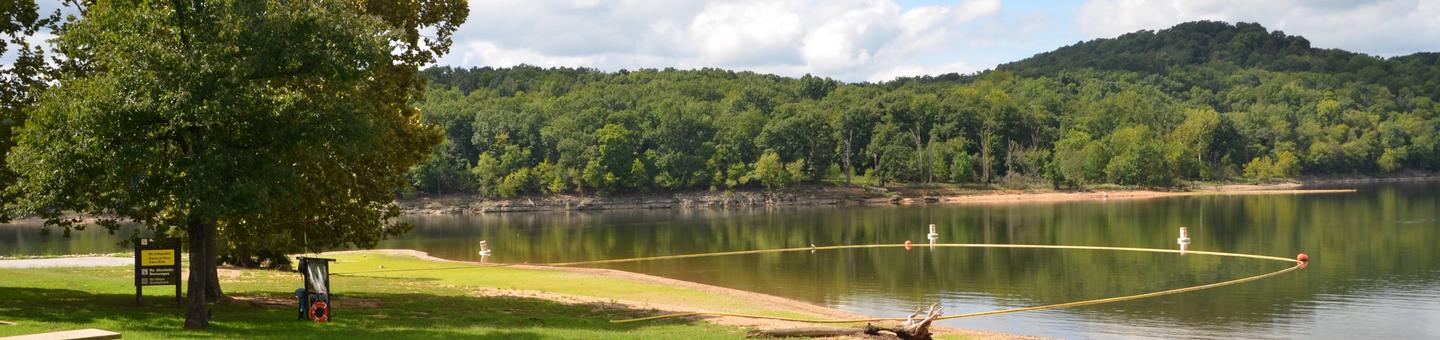
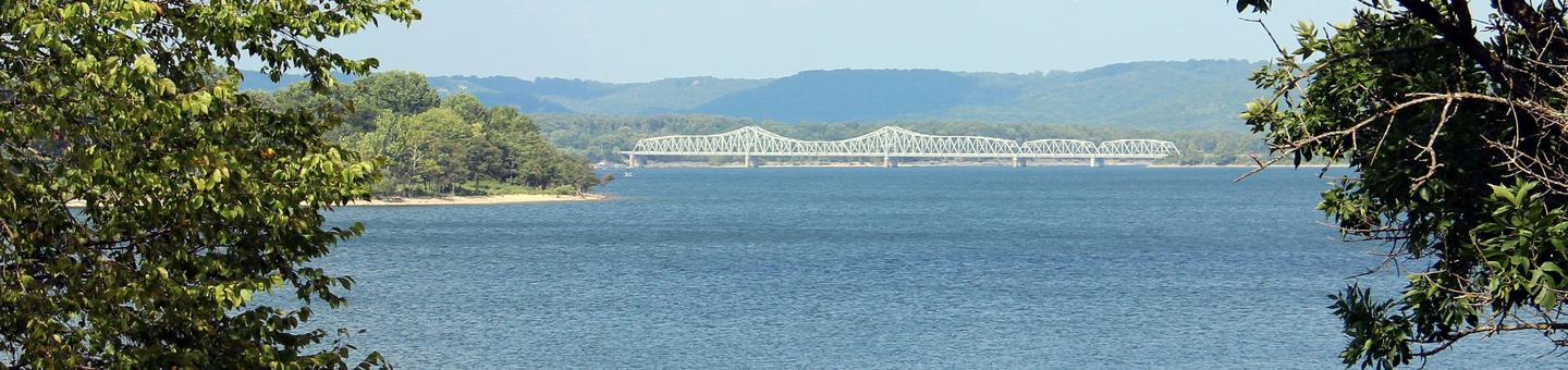
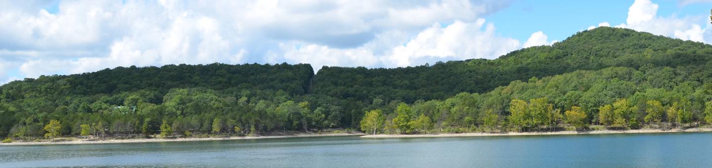
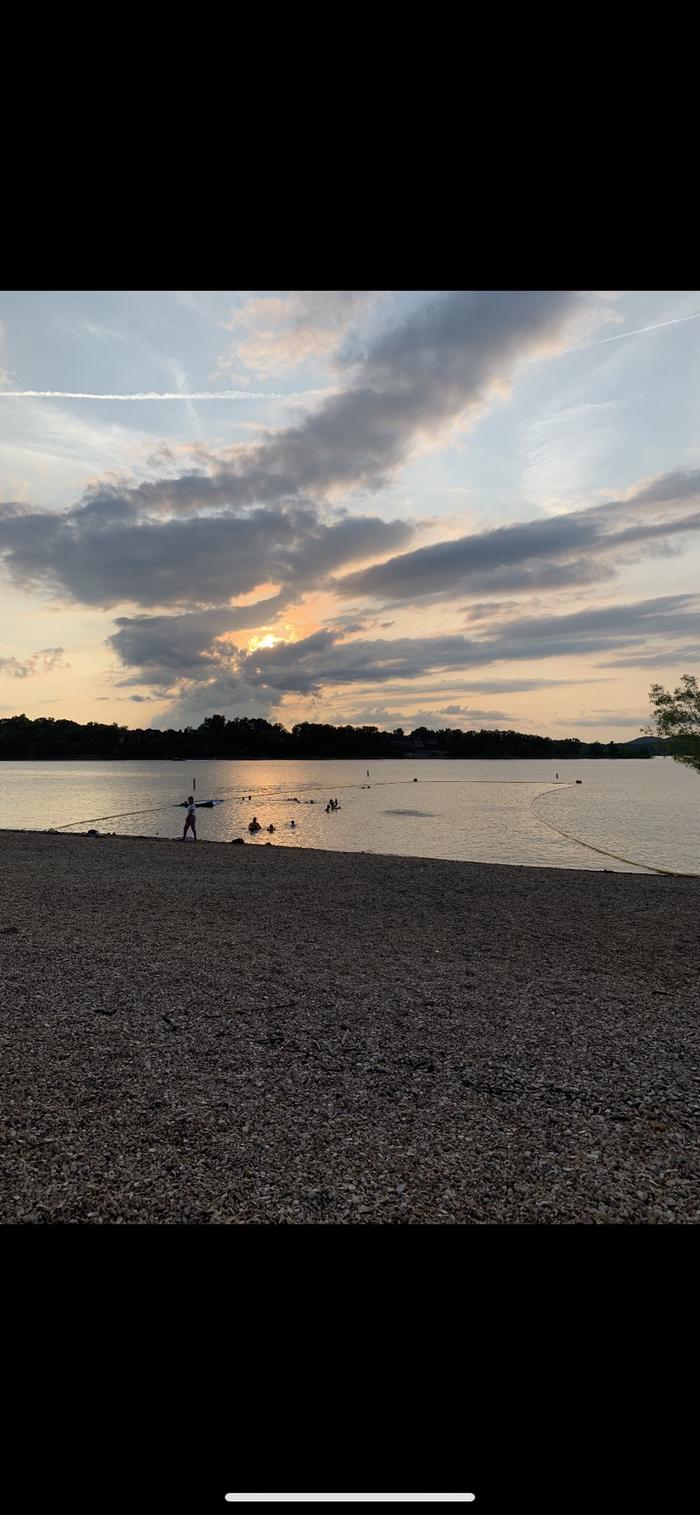
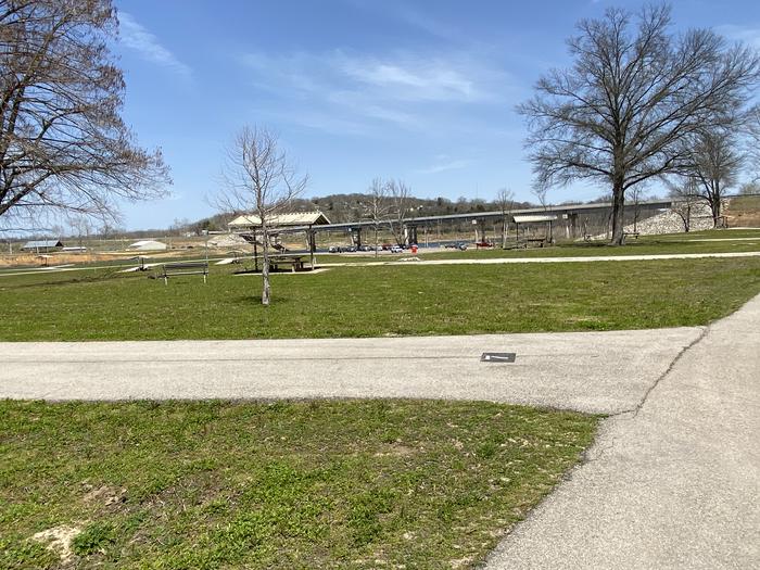
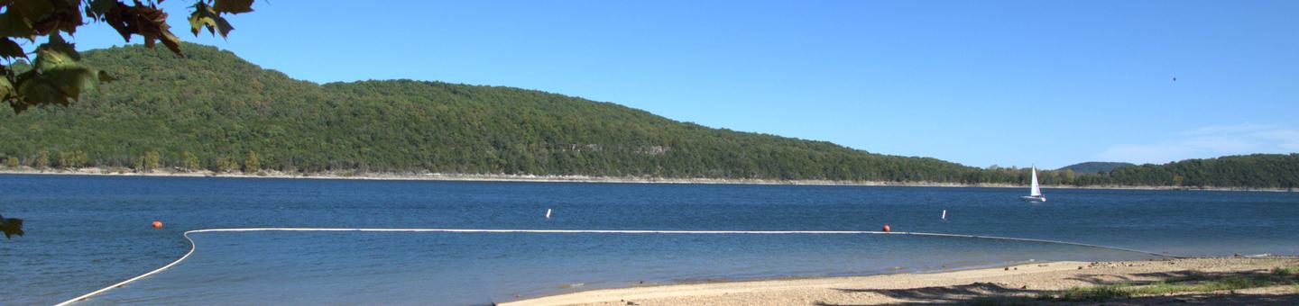
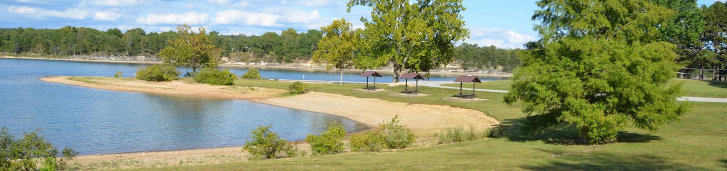
Natural Features and SceneryMature oak and hickory trees shade most campsites, creating a canopy that filters sunlight and drops acorns in late summer. Table Rock Lake forms the park's southern boundary. Paved trails wind through the woods and along the shoreline, connecting the campground to the full-service marina and multiple lake access points. The trails offer bench-lined views of the water, especially scenic before spring foliage fills in. The lake itself is clear enough for swimming and popular with boaters.
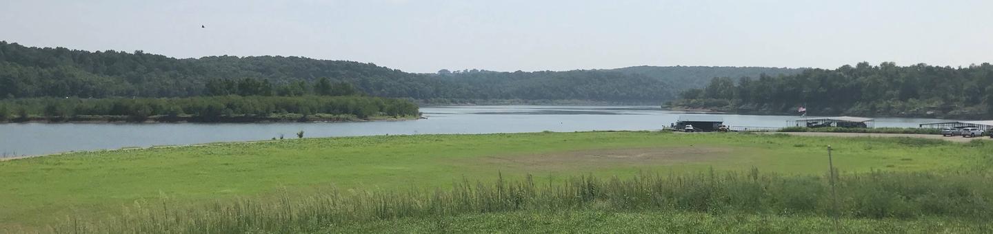
Scenic ViewsLakefront and lakeside views along paved trails and from shoreline campsites; access to water for boating and fishing via the marina.
 4.59
4.59