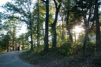
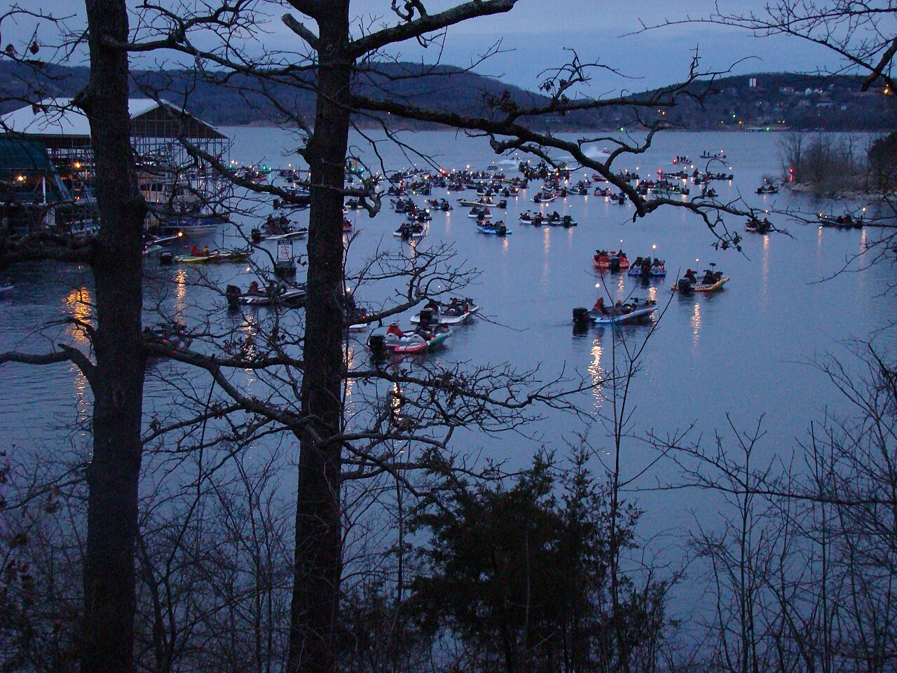
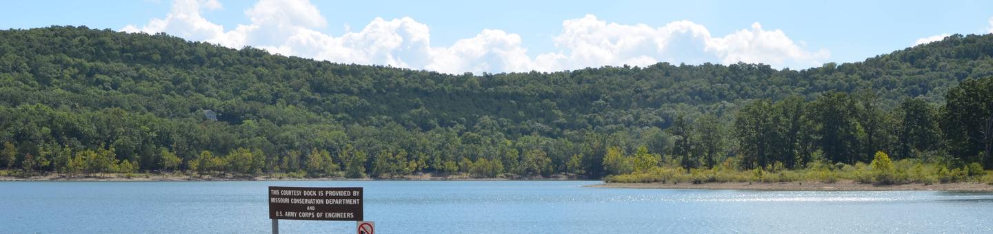
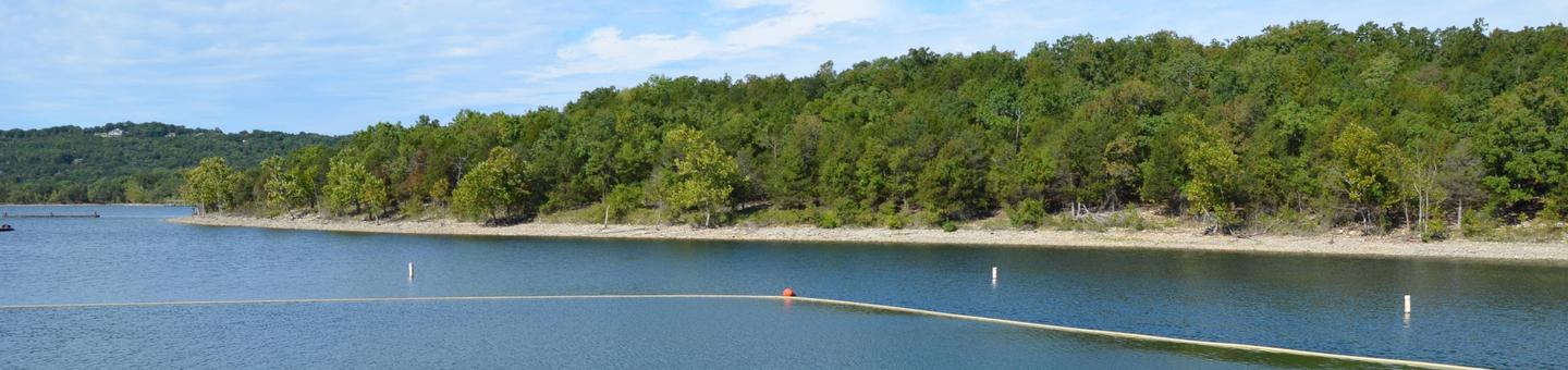
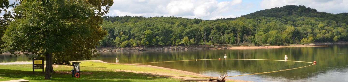
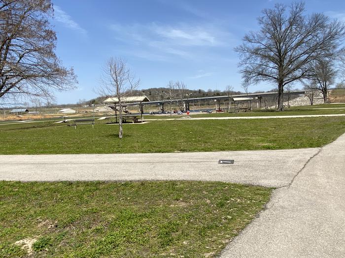
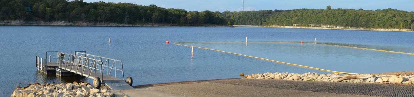
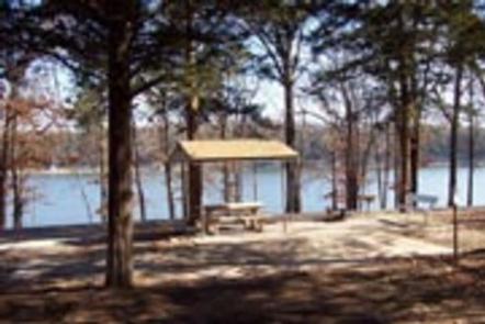
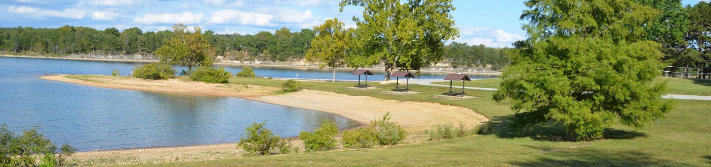
Nestled along the sparkling waters of Table Rock Lake, Campground 1 offers 41 paved sites (100-140) arranged in a convenient loop layout. Tall oak and hickory trees provide welcome shade as you enjoy easy lakeside access, with the marina and scenic trails just steps from your campsite.
Campgrounds include basic (non-hookup), electric and sewer/electric/water sites along the lakeshore; the park also offers premium yurts and accommodates a range of camping rigs.
Weather and SeasonsThe campground welcomes visitors from March through November, when the park truly comes alive with activity. During these months, you'll enjoy full amenities including electric hookups, running water, and warm showers. While electric sites remain available year-round for hardy winter campers, the summer season brings the most visitors eager to swim, boat, and fish in the lake's refreshing waters. Plan ahead if you're visiting during peak warm-weather months when lakefront sites fill quickly.
Weather data by Open-Meteo.com, licensed under CC BY 4.0, processed by Outdoorithm.
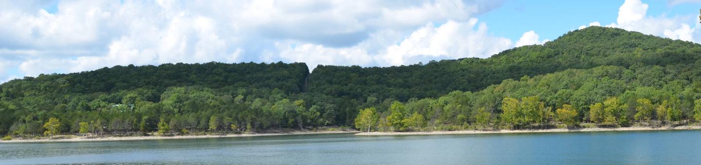
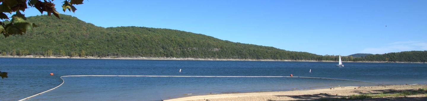
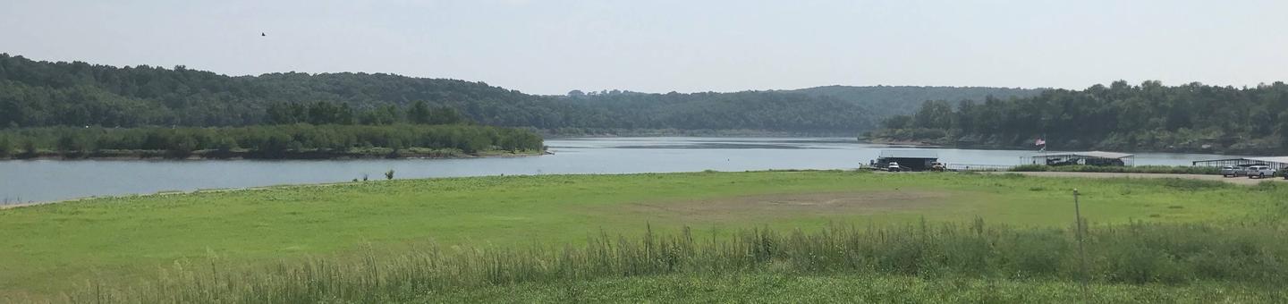
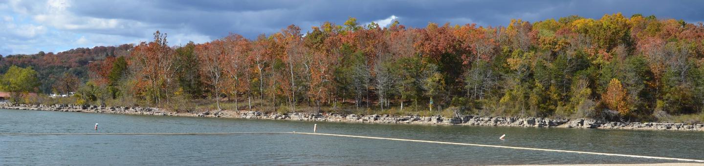
Natural Features and SceneryWake up to sunrise views over Table Rock Lake, where the gentle lapping of waves creates a peaceful soundtrack for your stay. The campground's mature oak and hickory canopy filters dappled sunlight across the loops, while paved pathways wind their way to secluded lakeshore spots, the full-service marina, and inviting day-use areas perfect for picnicking or simply soaking in the natural beauty of the Ozarks.
Scenic ViewsMany sites have lake views or easy walking access to the lake; views tend to open up in early spring before foliage fills in.
 4.52
4.52