Go if
You want a quiet, budget-friendly base for high-elevation hiking and fishing near Brooklyn Lake.
 3.6633 reviews
Price
$20/night
Booking
Reservable
Sites
24 campsites
Season
This campground will...
Cell
Unknown
Pets
Very Pet Friendly
Elevation by Open-Meteo.com, licensed under CC BY 4.0, processed by Outdoorithm.
Price
$20/night
Booking
Reservable
Sites
24 campsites
Season
This campground will...
Cell
Unknown
Pets
Very Pet Friendly
Elevation by Open-Meteo.com, licensed under CC BY 4.0, processed by Outdoorithm.
We'll monitor this campground and alert you the moment sites become available.
Free to start · Premium adds 2-min scans
263,000+ sites monitored · Email alerts to start; SMS and in-app with an account
Learn more about alerts →Nash Fork
41.3590, -106.2357
We'll monitor this campground and alert you the moment sites become available.
Free to start · Premium adds 2-min scans
263,000+ sites monitored · Email alerts to start; SMS and in-app with an account
Learn more about alerts →You want a quiet, budget-friendly base for high-elevation hiking and fishing near Brooklyn Lake.
You need shaded sites or prefer campgrounds away from highway noise.
Reference information about Nash Fork sourced from official USFS records and forestcamping.com. View official recreation.gov page →
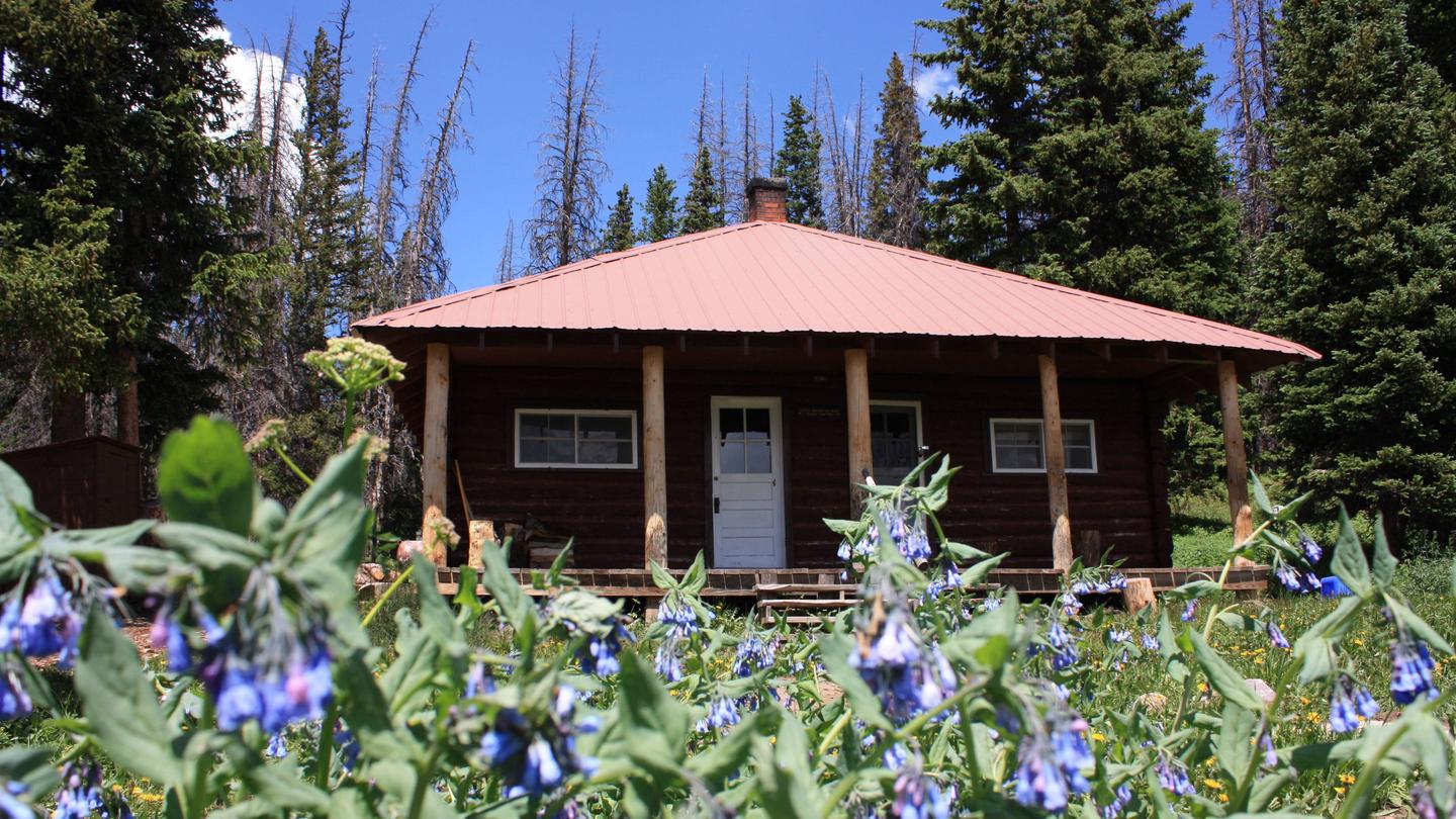
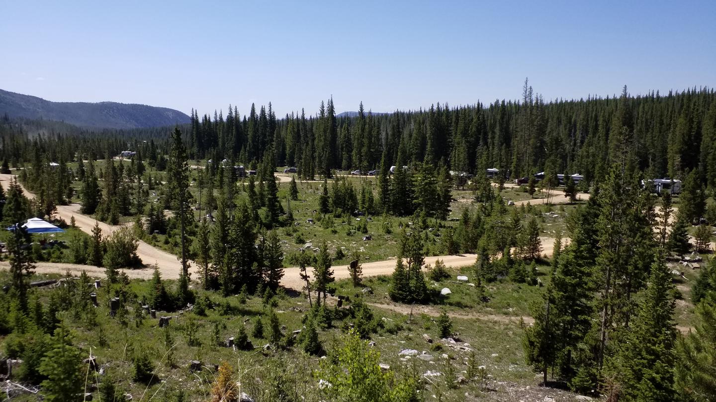
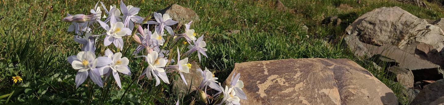
<p><img alt="" src="https://www.fs.usda.gov/Internet/FSE_MEDIA/fseprd1045765.jpg" style="width: 30%; height: 30%; float: right;" /></p><p>Prior to 2021, this campground was once decommissioned for 10 years due to pine beetle infestation. With a partnership with Common Outdoor Ground, Forest Service employees were able to clean up the campground and get it in working order in 2021.<br /><br />There are 27 sites, all with access to a picnic table, fire ring, metal barbecue grill, and vault toilets.</p><p>The campground is convenient to the Snowy Range Scenic Byway (State 130). There are 102 recreational lakes in the area, with an extensive network of trails linking them including Brooklyn Lake, which is located 3 miles north of campground.</p><p>Dogs must be leashed in the campground. The campground still doesn't have many trees, but it is just as beautiful as before. The Nash Fork Creek meanders through the campground.</p><div class="usa-alert usa-alert--info usa-alert--slim"><div class="usa-alert__body"><p class="usa-alert__text">This site was approved for a fee change - <a class="usa-link" href="https://www.fs.usda.gov/detail/mbr/fire/?cid=FSEPRD1092198">Click here for more information</a></p></div></div>
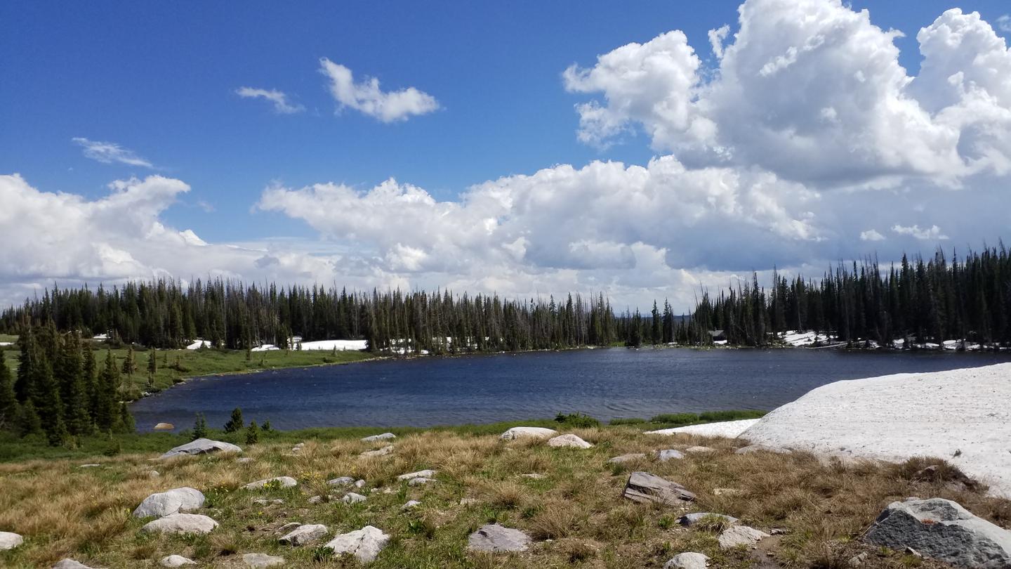
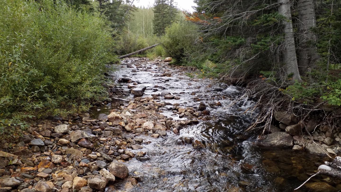
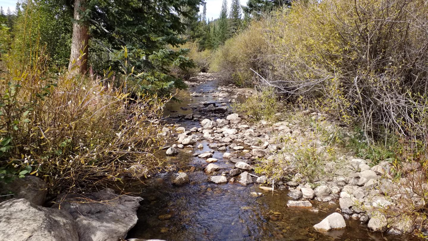
The elevation is 10,000 ft. The campground is attractive and heavily wooded with Douglas and Subalpine fir and Engelmann spruce. The wooded areas alternate with open areas where Nash Fork Creek meanders through the campground. The campground is convenient to the Snowy Range Scenic Byway (State 130) and network of trails adjacent to Brooklyn Lake, located 3 miles north of campground.
Open early July through mid-September
The parking aprons are dirt and gravel. There is an RV Forest Service waste station off State Rt. 130 (mile marker 28.71), 0.2 miles up Forest Rt. 338. There is no fee and no potable water.
From Centennial, WY, take State Rt. 130 west 7.8 miles to Brooklyn Lake Rd. sign (Forest Rt. 317). Turn right onto Rt. 317 and go 0.1 miles to campground sign. Turn left into campground.
Context for the broader area surrounding Nash Fork, sourced from the federal Recreation.gov rec-area record.
<p>Welcome to Medicine Bow-Routt National Forests and Thunder Basin National Grassland! Visitor opportunities abound on almost 2.9 million acres of National Forest System lands.</p> <p>The Medicine Bow and Routt National Forests provide year-round recreation opportunities for you. These activities include hiking, biking, camping, horseriding, OHV riding, fishing and hunting, just to name a few. Beautiful vistas await sightseers and photographers.</p> <p>The topography varies greatly within the national forests. Elevation ranges from 5,500 to 12,940 feet. The climate ranges from semi-arid at low elevations to colder and less arid in the high country. Frost may occur at any time, and visitors to the higher elevations should be prepared for harsh weather, including snow and high winds, even during the summer months.</p> <p>The Thunder Basin National Grassland provides unique opportunities for recreation, including hiking, sightseeing, hunting, and fishing. There are no developed campgrounds; however, dispersed camping is allowed. Elevation on the national grassland ranges from 3,600 to 5,200 feet, and the climate is semi-arid.</p> <p><strong><strong>The following recreation conditions report includes a sampling of our recreation sites. For information on specific sites or areas, use the link to the right or search by activity in the lefthand search bar. </strong></strong></p>

Availability, what to pack, similar spots — ask anything and get an instant answer.
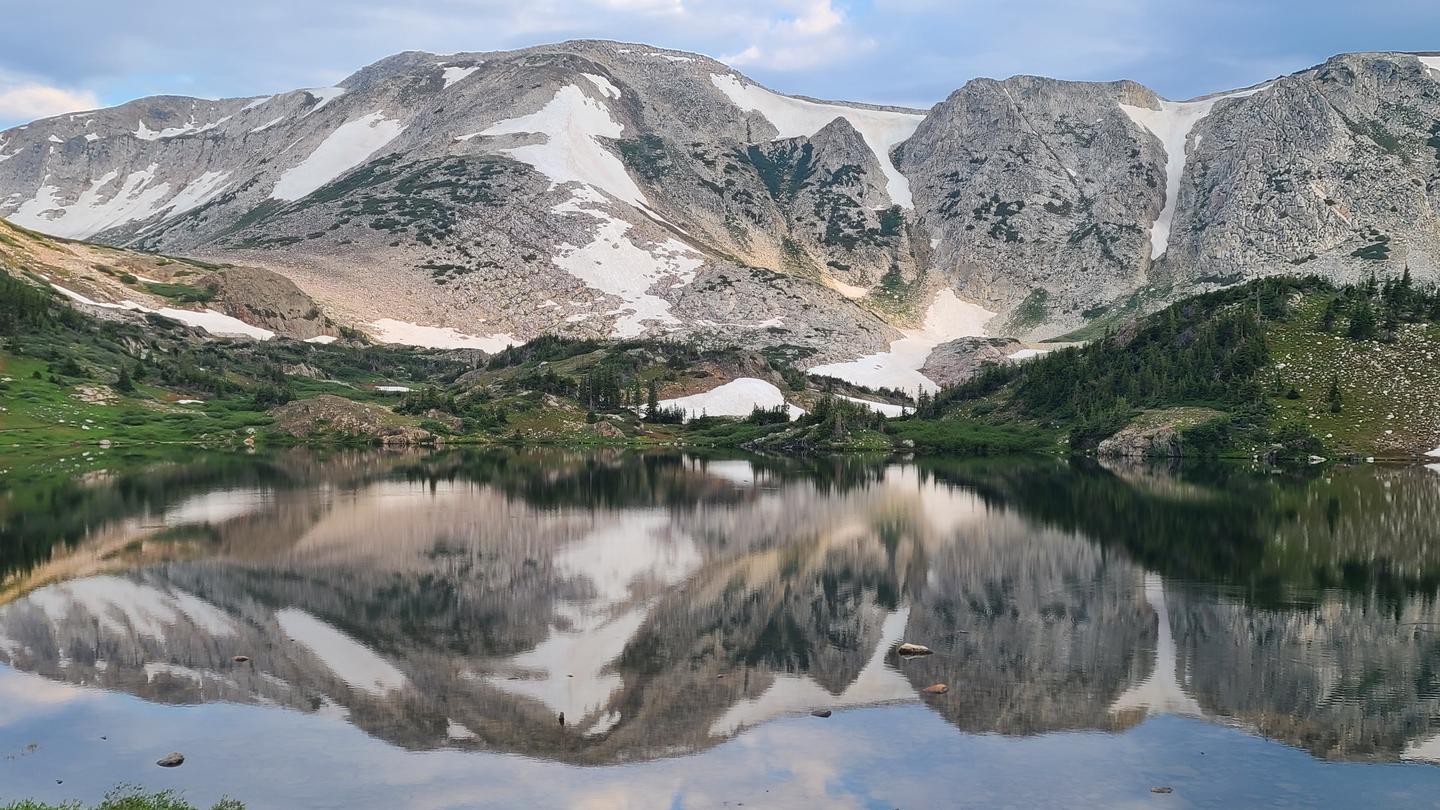
Best season: summer. Summer offers the best combination of reliable access, comfortable daytime temperatures (typically around 20–22°C / 68–72°F) and functional nights that drop to near 0–5°C (32–41°F), making hiking, fishing Brooklyn Lake and Nash Fork Creek, and wildlife viewing ideal. Trails and the Snowy Range panoramas are fully accessible once the campground opens in June, with wildflowers peaking in July and excellent star‑watching after crisp nights. Expect moderate weekend crowds in July–August (reservable, Peak months: July, August, September, June Avoid: October, November, December, January
Best season per overview; summer reviews overwhelmingly positive; pleasant daytime temps.
Weather data by Open-Meteo.com, licensed under CC BY 4.0, processed by Outdoorithm.
Reservation tips, booking windows, and free cancellation alerts.
No water is availale in this campground, please pack your own in. No electrical hook-ups, water hook-ups, or black water hook-ups are available.
Researching this campground? Ask anything — other campers and our team will weigh in. No visit required.
Short heads-ups about the road in, gear quirks, and timing, compiled by Outdoorithm from public reviews and operator information.
Rate Nash Fork
Been here? Tap a star to start. Takes about a minute.
Sign-in required only if you want your name on it.

Be the first to review this campground
Every adventure creates another. Share what you learned so the next camper feels a little more prepared heading out.