Go if
You want high-elevation fishing and boating access with budget-friendly rates and don't mind occasional off-road vehicle noise.
 3.7810 reviews
Price
$20/night
Booking
Reservable
Sites
65 campsites
Season
This campground will...
Cell
No Service
Pets
Very Pet Friendly
Elevation by Open-Meteo.com, licensed under CC BY 4.0, processed by Outdoorithm.
Price
$20/night
Booking
Reservable
Sites
65 campsites
Season
This campground will...
Cell
No Service
Pets
Very Pet Friendly
Elevation by Open-Meteo.com, licensed under CC BY 4.0, processed by Outdoorithm.
We'll monitor this campground and alert you the moment sites become available.
Free to start · Premium adds 2-min scans
263,000+ sites monitored · Email alerts to start; SMS and in-app with an account
Learn more about alerts →Rob Roy Campground
41.2065, -106.2566
We'll monitor this campground and alert you the moment sites become available.
Free to start · Premium adds 2-min scans
263,000+ sites monitored · Email alerts to start; SMS and in-app with an account
Learn more about alerts →You want high-elevation fishing and boating access with budget-friendly rates and don't mind occasional off-road vehicle noise.
You need electric hookups or want to avoid dust from off-road vehicle traffic on nearby forest roads.
Context for the broader area surrounding Rob Roy Campground, sourced from the federal Recreation.gov rec-area record.
<p>Welcome to Medicine Bow-Routt National Forests and Thunder Basin National Grassland! Visitor opportunities abound on almost 2.9 million acres of National Forest System lands.</p> <p>The Medicine Bow and Routt National Forests provide year-round recreation opportunities for you. These activities include hiking, biking, camping, horseriding, OHV riding, fishing and hunting, just to name a few. Beautiful vistas await sightseers and photographers.</p> <p>The topography varies greatly within the national forests. Elevation ranges from 5,500 to 12,940 feet. The climate ranges from semi-arid at low elevations to colder and less arid in the high country. Frost may occur at any time, and visitors to the higher elevations should be prepared for harsh weather, including snow and high winds, even during the summer months.</p> <p>The Thunder Basin National Grassland provides unique opportunities for recreation, including hiking, sightseeing, hunting, and fishing. There are no developed campgrounds; however, dispersed camping is allowed. Elevation on the national grassland ranges from 3,600 to 5,200 feet, and the climate is semi-arid.</p> <p><strong><strong>The following recreation conditions report includes a sampling of our recreation sites. For information on specific sites or areas, use the link to the right or search by activity in the lefthand search bar. </strong></strong></p>
Rob Roy Campground appears in our curated guides. Explore more top-rated campgrounds for the same activities and regions.

Availability, what to pack, similar spots — ask anything and get an instant answer.
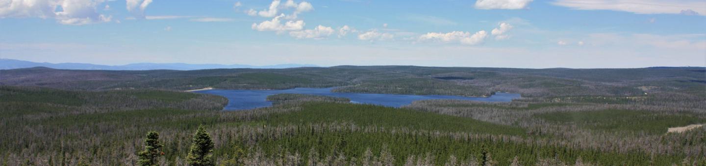
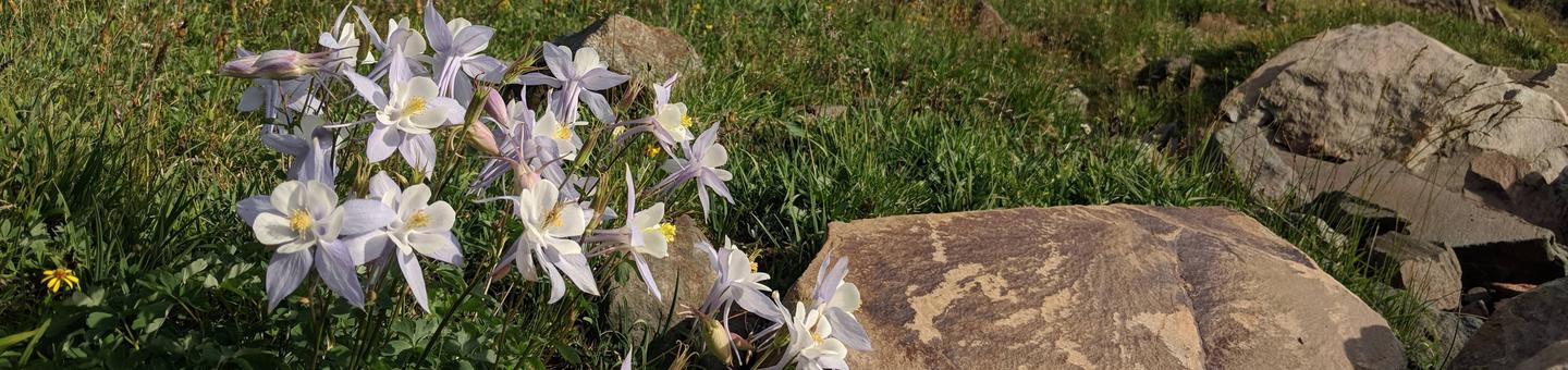
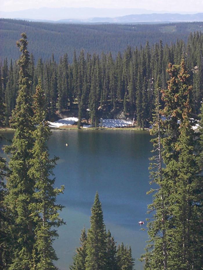
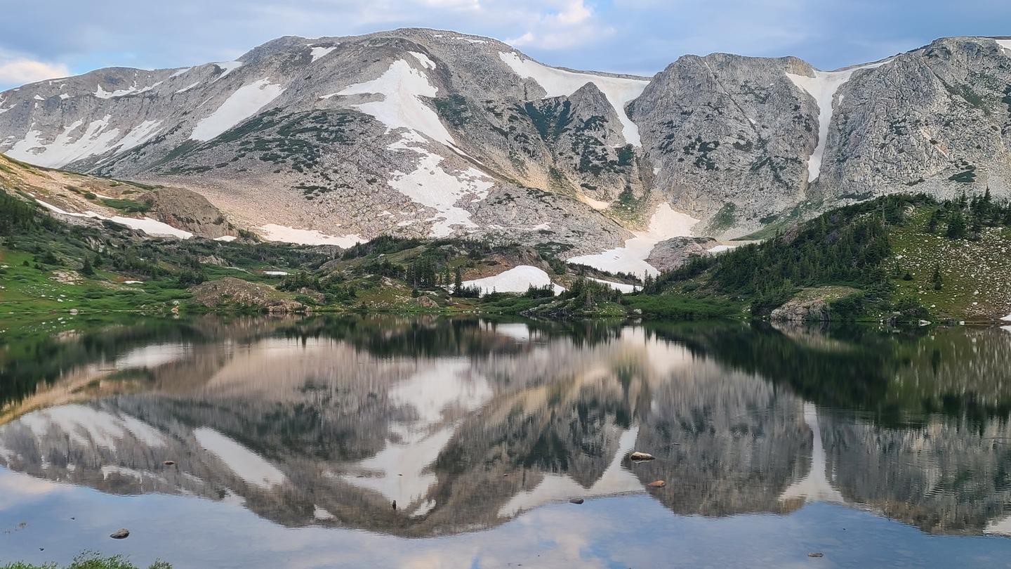
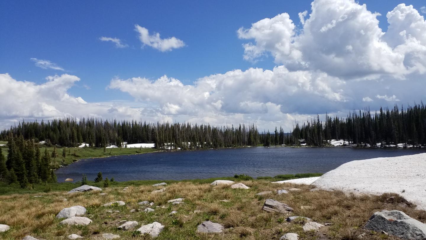
Best season: summer. Summer offers the most reliable access and the best weather at 9,500 ft — expect warm days around 65–75°F and cool nights near 40–50°F, ideal for hiking, boating, and fishing on Rob Roy Reservoir. Trails and reservoir access are fully open, wildflowers are at their peak in July, and long daylight hours make for full days of alpine recreation. Expect moderate crowds on summer weekends (first-come sites are available June 13–26, then reservations begin June 27), and be prepared for strong sun, dry Peak months: July, August, June, September Avoid: January, February, March, April
Best season is summer; potable water available and peak recreation (fishing/boating/hiking).
Weather data by Open-Meteo.com, licensed under CC BY 4.0, processed by Outdoorithm.
Reservation tips, booking windows, and free cancellation alerts.
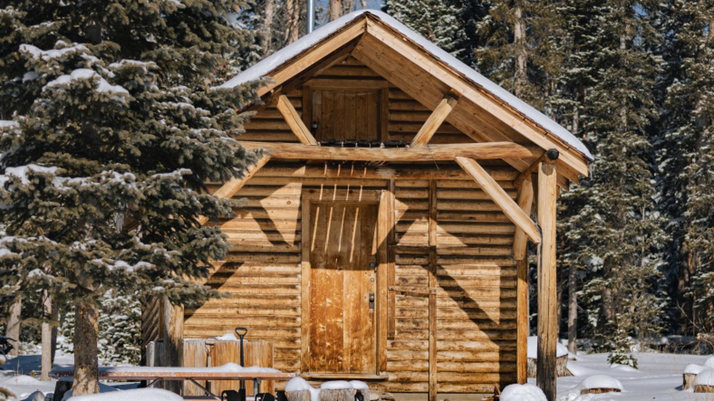
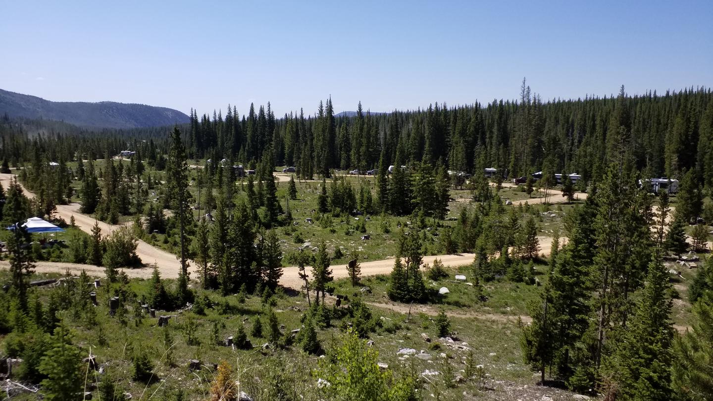
Rob Roy Campground offers basic amenities, including 65 campsites equipped with picnic tables, fire rings, pedestal grills, trash collection, and vault toilets. There are no electrical, water, or sewer hookups available. Potable water availability is seasonal, typically from July to September, subject to weather and maintenance conditions. Campers are advised to bring their own water. The maximum trailer length is 35 feet.
Researching this campground? Ask anything — other campers and our team will weigh in. No visit required.
Short heads-ups about the road in, gear quirks, and timing, compiled by Outdoorithm from public reviews and operator information.
Rate Rob Roy Campground
Been here? Tap a star to start. Takes about a minute.
Sign-in required only if you want your name on it.

Be the first to review this campground
Every adventure creates another. Share what you learned so the next camper feels a little more prepared heading out.