Ridge Campground sits on a wooded ridge above Lake Wappapello, offering 36 sites (12-47) under a dense oak and hickory canopy. The paved loops and shaded sites stay noticeably cooler than lakeside areas, though you'll trade water views for privacy and quiet. Sites 37-47 close November through March.
Ridge is a wooded campground with a mix of site types reported by visitors, including electric sites suitable for RVs and sites used by tent campers; it also includes family and accessible sites in park listings.
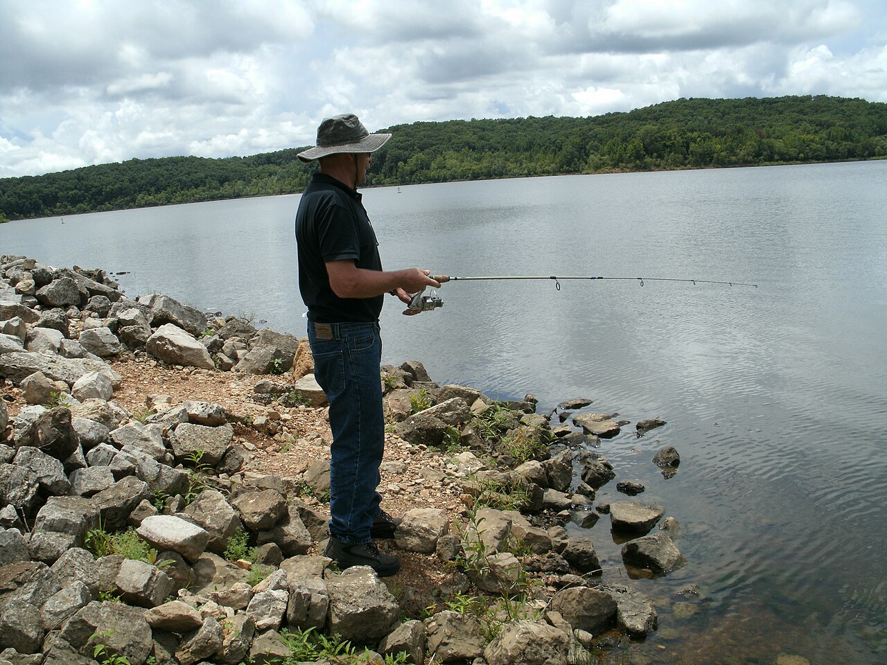
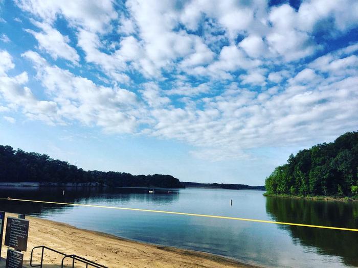
Weather and SeasonsSummer delivers the best lake recreation. Swimming, boating, warm-weather fishing. And the forest canopy provides critical shade when daytime highs reach the mid-80s to low-90s. Campsites stay 5-10°F cooler under the trees, though afternoons can be humid and scattered thunderstorms roll through. Weekends fill up; midweek stays offer more solitude. Spring and fall bring cooler evenings, wildflowers in April, and gold-and-crimson leaves in October. Sites 37-47 close November through March, but some spots remain open for hardy winter campers seeking solitude.
Weather data by Open-Meteo.com, licensed under CC BY 4.0, processed by Outdoorithm.
Natural Features and SceneryMature oak and hickory trees create a thick canopy overhead, dropping temperatures 5-10°F below lakeside spots on hot days. Sites are spaced far enough apart that neighbors fade into the background. The campground sits on higher ground away from the shore, so most sites look into forest rather than water. Dappled sunlight filters through the branches in the morning. Lake views require a short drive to overlooks or day-use areas, where you'll see Wappapello's water stretching into the distance. Turtles are common around the lake, both in the water and on land. Raccoons and other small critters visit campsites after dark.
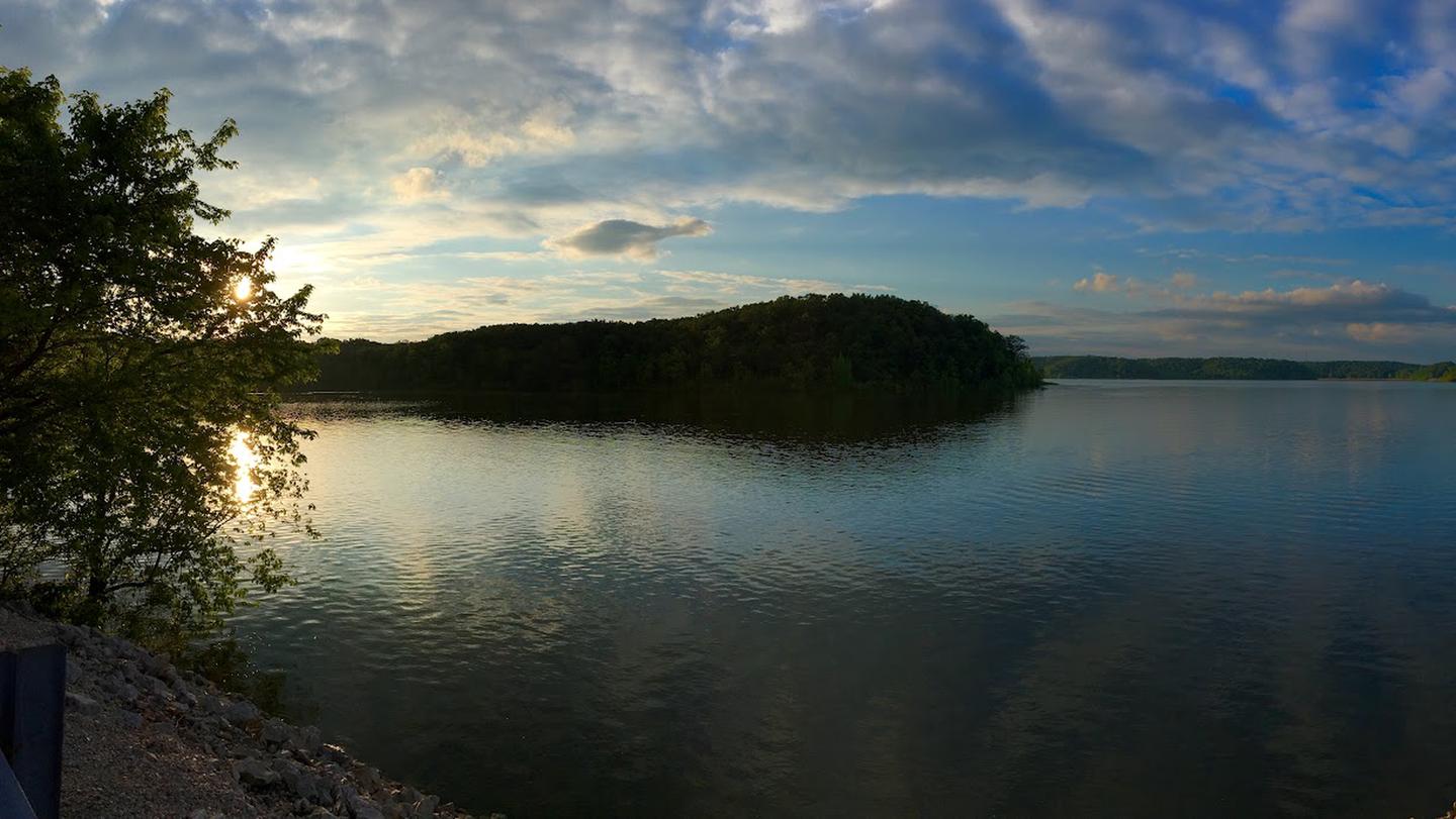
Scenic ViewsMost Ridge sites are wooded and do not offer direct lakeside views; broader park overlooks, day-use areas and some cabins provide the best vistas of Lake Wappapello.
 4.18
4.18