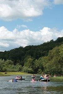
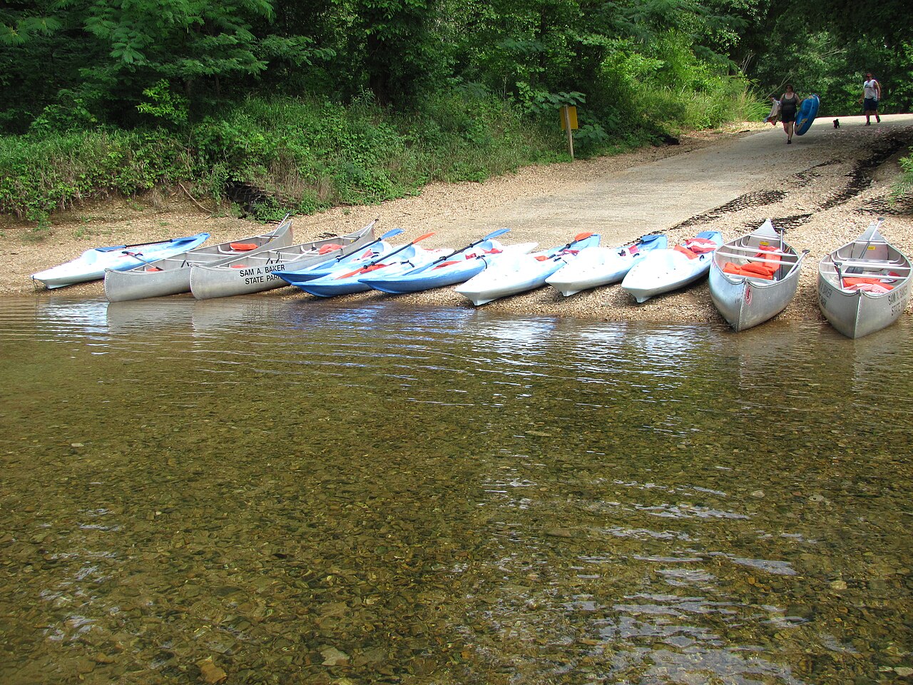
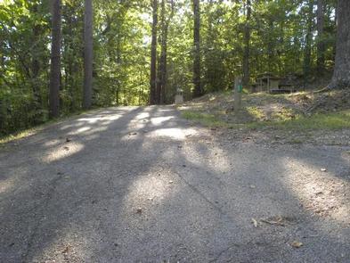
Campground 2 sits along the St. Francis River in Sam A. Baker State Park, tucked into the St. Francois Mountains at 1,234 feet elevation. The sites are close together but deliver easy river access for swimming and floating. Repeat visitors choose this campground specifically for deer sightings and proximity to the water, though privacy is limited and weekends can be loud.
The park offers rustic cabins and two large campgrounds; a separate equestrian camp is available. Specific mention of tent, RV, primitive or group campsites for this park is not provided on the official page.
Historical Significance
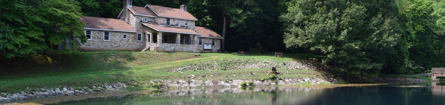
Civilian Conservation Corps crews built many of the park's structures during the 1930s, including buildings near the campgrounds. The on-site nature center interprets this history along with the area's natural heritage.Weather and SeasonsSummer draws the biggest crowds. Highs in the mid-80s to low-90s°F and humid nights in the 60s make the spring-fed water irresistible for swimming, tubing, and fishing. Water and showers run April through October only. Afternoon thunderstorms hit often, so plan river time for mornings. Holiday weekends fill up fast and get noisy. Spring and fall bring fewer people and cooler temperatures for hiking, but water levels shift with seasonal rainfall. Expect construction or maintenance work in the off-season.
Weather data by Open-Meteo.com, licensed under CC BY 4.0, processed by Outdoorithm.
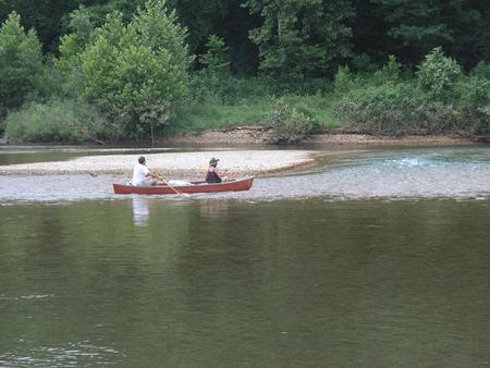
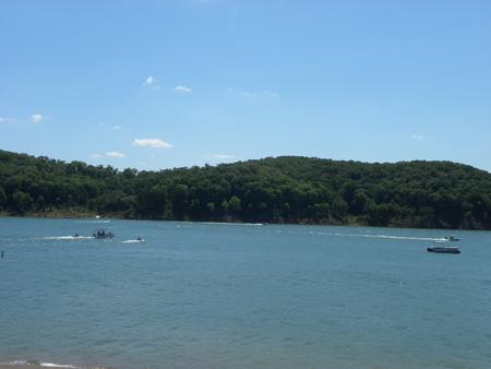
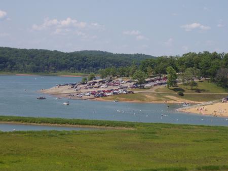
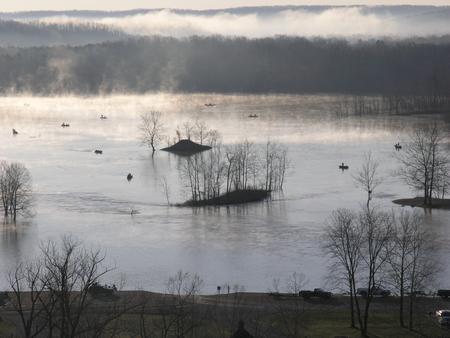
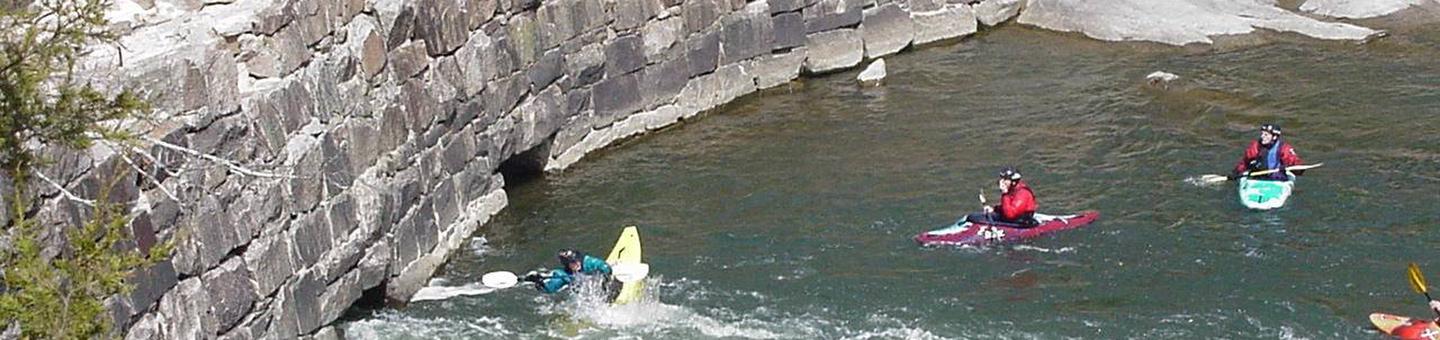
Natural Features and SceneryThe St. Francis River and Big Creek converge here, both spring-fed and clear enough to see the rocky bottoms that require water shoes. Limestone bluffs rise above gravel bars where swimmers and tubers gather. Dense hardwood forest surrounds the campground, and the St. Francois Mountains frame the views. Deer appear regularly near the sites. The rivers cut through some of Missouri's oldest geology, hills formed millions of years before the Appalachians. Shade is plentiful along the banks, though site trees for hammocks are sparse.
Geological RegionSt. Francois Mountains
Scenic ViewsScenic views of the St. Francois Mountains and river/creek corridors (St. Francis River and Big Creek).
 4.50
4.50