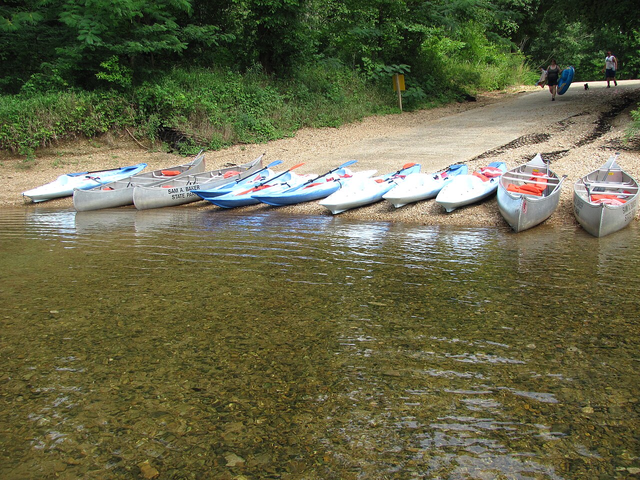
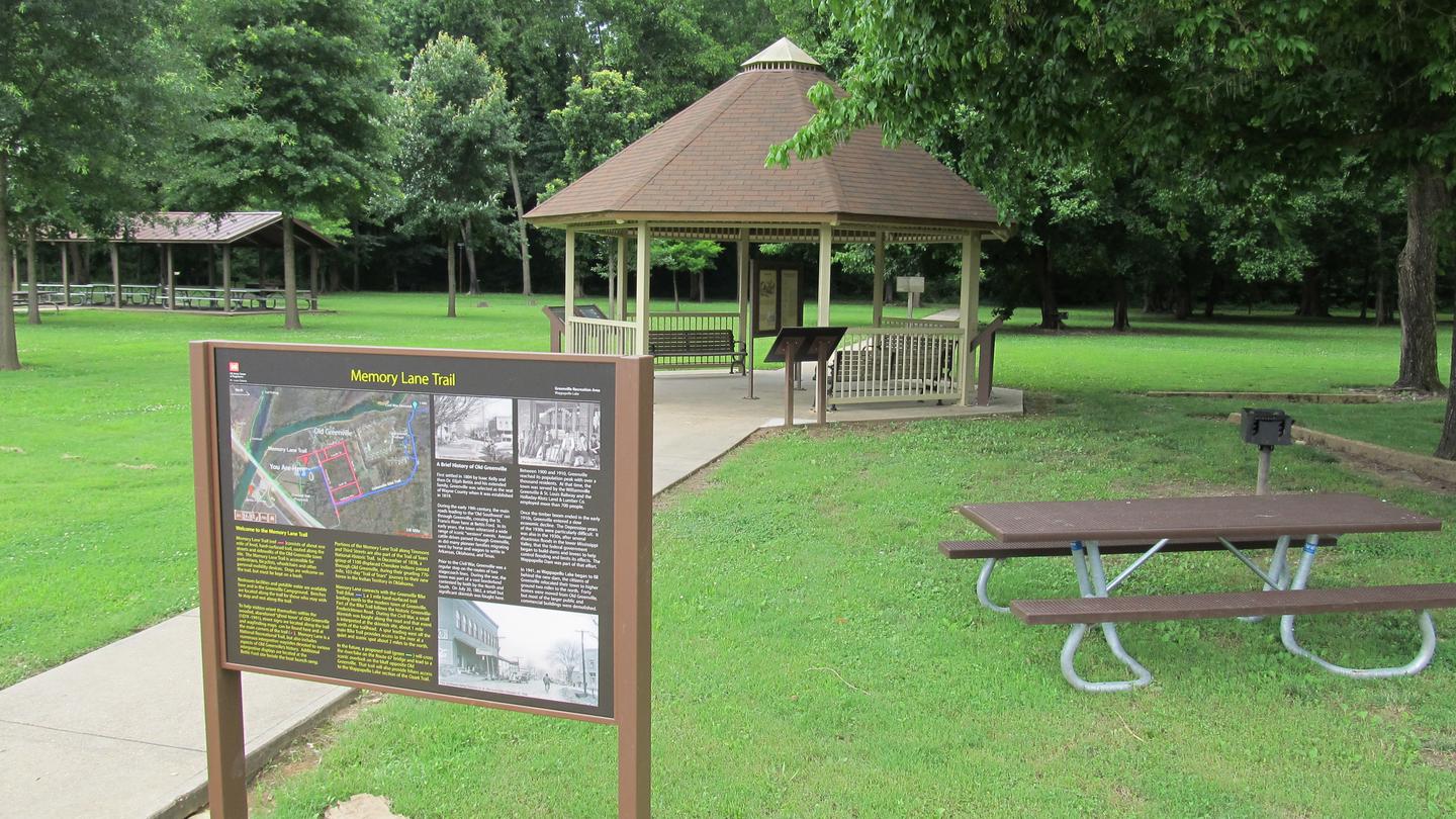
Nestled in the scenic St. Francois Mountains, Sam A. Baker State Park's equestrian campground offers horse lovers their own dedicated basecamp amid wooded Ozark terrain. Saddle up for direct trail access while enjoying riverside recreation and family-friendly park amenities including a nature center, store, and diverse hiking options—all in one of Missouri's most beautiful settings.
The official page identifies a separate equestrian campground at Sam A. Baker State Park but does not explicitly state whether the horse camp accepts tents, RV hookups, primitive sites, group sites, or includes cabin lodging.
Historical Significance
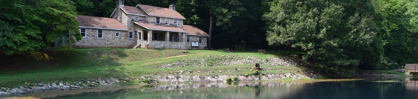
Sam A. Baker State Park was established in 1926 and contains CCC-era structures and a nature center interpreting the park’s natural and cultural history. The broader park includes historic features tied to early park development.Weather and SeasonsThe campground welcomes riders from April through October, with spring and fall offering the sweet spot of comfortable temperatures and ideal trail conditions. Summer brings warmth perfect for post-ride swims and river floats, though you'll want bug spray for those active Missouri insects. Winter riders seeking solitude will find quiet trails, but should come prepared for chilly, damp conditions that define the off-season.
Weather data by Open-Meteo.com, licensed under CC BY 4.0, processed by Outdoorithm.
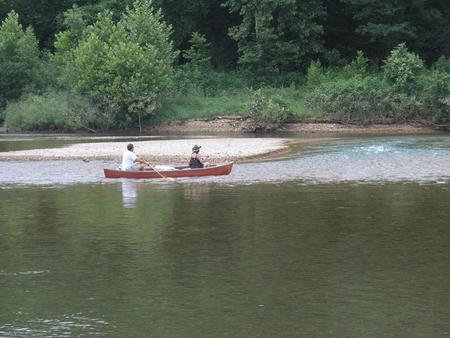
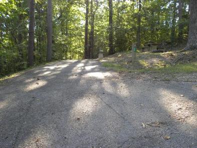
Natural Features and SceneryYour campsite sits beneath a canopy of oak and hickory, where the rugged beauty of the St. Francois Mountains meets the gentle waters of Big Creek and the St. Francis River. As you ride through forested ridges and rocky glades, the trails wind toward stunning overlooks of the Mudlick Mountain wild areas, where nature remains largely untouched. Rocky washes and natural glades punctuate the landscape, offering glimpses of the raw, ancient character that makes the Ozarks unforgettable.
Geological RegionSt. Francois Mountains (ancient Precambrian igneous terrain)
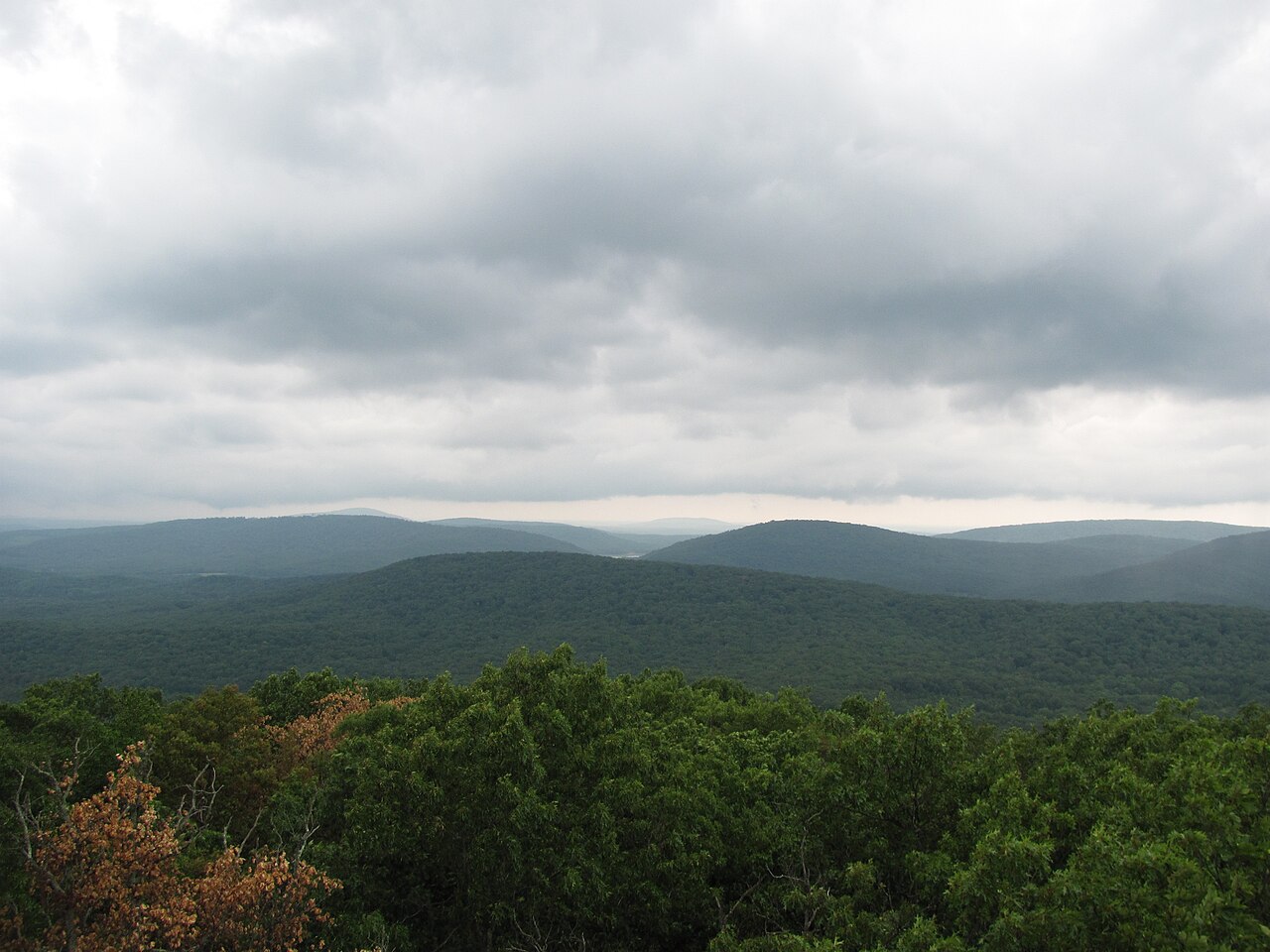
Scenic ViewsViews from the campground are primarily wooded and intimate—shaded sites with glimpses of nearby ridges and hollows. Higher trail sections in the park (Mudlick area) offer broader vistas over forested ridgelines and igneous knobs.
 4.50
4.50