Go if
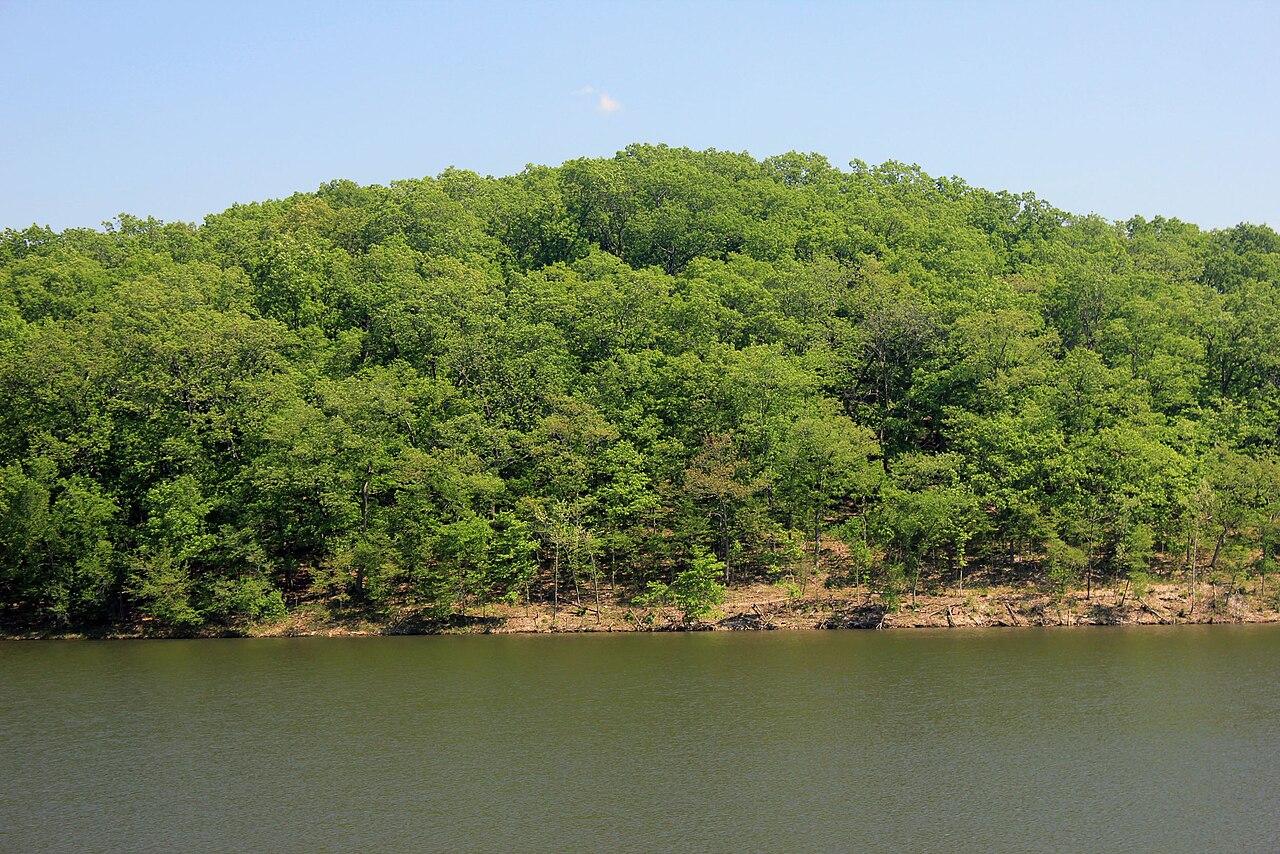
Fall weekends suit RV campers best: the hardwood ridges run reds and golds, bugs thin out, and sites 69-100 deliver electric, water, and sewer hookups with shade that holds even late in the season.
 2.13141 reviews
Price
Varies
Booking
Reservable
Sites
32 campsites
Season
On-season typically ...
Cell
No Service
Pets
Pets Allowed
Price
Varies
Booking
Reservable
Sites
32 campsites
Season
On-season typically ...
Cell
No Service
Pets
Pets Allowed
We'll monitor this campground and alert you the moment sites become available.
Free to start · Premium adds 2-min scans
263,000+ sites monitored · Email alerts to start; SMS and in-app with an account
Learn more about alerts →Campground (Sites 69-100)
678 State Route 147, Troy, MO 63379, United States
We'll monitor this campground and alert you the moment sites become available.
Free to start · Premium adds 2-min scans
263,000+ sites monitored · Email alerts to start; SMS and in-app with an account
Learn more about alerts →Fall weekends suit RV campers best: the hardwood ridges run reds and golds, bugs thin out, and sites 69-100 deliver electric, water, and sewer hookups with shade that holds even late in the season.
Heavy sleepers and light packers may regret it: weekend nights get noisy with neighbors close together, raccoons are persistent, cell service is essentially absent, and there's no camp store if you forget something in Troy.
Context for the broader area surrounding Campground (Sites 69-100), sourced from the federal Recreation.gov rec-area record.
The <A HREF="http://www.usbr.gov/dataweb/dams/ca10167.htm">Los Banos Dam</A> and Reservoir are on Los Banos Creek above the San Luis Canal, near Los Banos, California. The dam and reservoir are features on the <A HREF="http://www.usbr.gov/dataweb/html/casanluis.html">Central Valley Project - San Luis Unit</A>. The reservoir has 620 water surface acres and 12 miles of shoreline. The recreation area offers trails following the Path of the Padres, a boat and hiking trail. The Path leads to the baths used by the padres of early California. During the spring, guided interpretive tours are provided on the trail. The reservoir offers day use facilities for picnic and family activities. Fishing opportunities are available, and the reservoir is stocked during the fall and winter months with trout. A horse camp is available and there are equestrian trails for the horse enthusiast.
Site is about 6 miles south of the town of Los Banos on State Highway 165.
Campground (Sites 69-100) appears in our curated guides. Explore more top-rated campgrounds for the same activities and regions.

Availability, what to pack, similar spots — ask anything and get an instant answer.
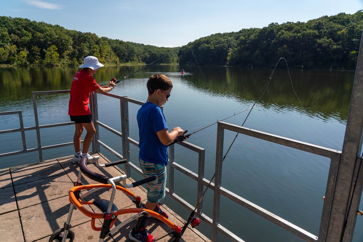
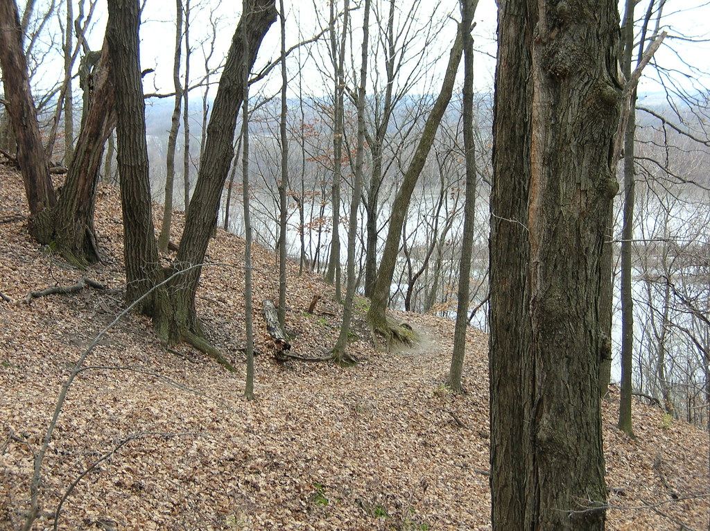
Fall combines the best weather and scenery. Daytime highs run mid-50s to mid-70s°F with cool nights (mid-30s to low-50s°F), perfect for hiking and campfires. Hardwood ridges light up in reds, oranges, and golds, and the lake stays warm enough for boating and fishing through early October. Crowds thin out except for weekend leaf-viewing spikes. Spring brings wildflowers and blooming dogwoods, though trails can turn muddy after rain. Summer offers swimming and fishing but also heat, humidity, ticks, and mosquitoes. Bring insect protection. Winter camping is possible but trails get slick and icy.
Fall offers best weather and scenery; hardwood ridges light up in reds and oranges.
Weather data by Open-Meteo.com, licensed under CC BY 4.0, processed by Outdoorithm.
Reservation tips, booking windows, and free cancellation alerts.
Amenities serving the family campground and Lake Lincoln include picnic areas and a swim beach; visitors report potable water, a bathhouse with showers and toilets, fire rings/pits and picnic tables at sites. Some campsites are described by visitors as offering full hookups (water, sewer and electric).
Researching this campground? Ask anything — other campers and our team will weigh in. No visit required.
Short heads-ups about the road in, gear quirks, and timing, compiled by Outdoorithm from public reviews and operator information.
Rate Campground (Sites 69-100)
Been here? Tap a star to start. Takes about a minute.
Sign-in required only if you want your name on it.

Be the first to review this campground
Every adventure creates another. Share what you learned so the next camper feels a little more prepared heading out.