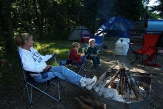
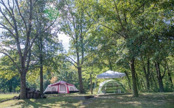
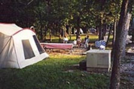
Special Use Campground sits in Rock Bridge Memorial State Park a few miles south of Columbia, offering group access to one of Missouri's densest karst landscapes. The primitive site serves scout troops and nonprofit youth organizations on a permit basis, placing tents within minutes of the Devil's Icebox cave system, natural rock bridge, sinkholes, and Gans Creek Wild Area trails. Facilities are minimal: a vault toilet and no potable water.
Designated as a Special-Use camping area (group-use by reservation/permit). User reports describe use by scout and nonprofit groups and tent camping; no cabins or documented RV hookups are listed for this special-use area.
Historical Significance
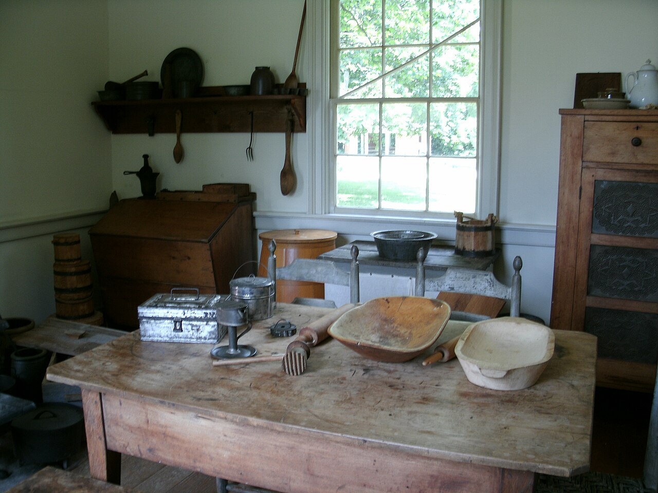
The park preserves remnants of historical settlement and mill activity in the Rockbridge area. The Sinkhole Trail includes interpretive markers highlighting past land use.Weather and SeasonsFall delivers the best window: mid-50s to low-70s°F days, crisp mornings, low humidity, and hardwood color that lights up the sinkholes and ridges. Insect pressure drops, afternoon storms fade, and trail conditions stay firm. Ideal for long hikes to the cave and wild area. Spring pumps streams to peak flow and spreads wildflowers across the woodland floor, though mud and higher bug counts are tradeoffs. Summer heat and humidity can be oppressive in open areas, but the cool exhale from Devil's Icebox and deep shade in the ravines offer relief. Winter is austere: icy boardwalks, reduced access to some features, and stripped-down camping, though quieter trails reward those who bundle up. The park runs full services April through October; off-season visits mean fewer amenities.
Weather data by Open-Meteo.com, licensed under CC BY 4.0, processed by Outdoorithm.
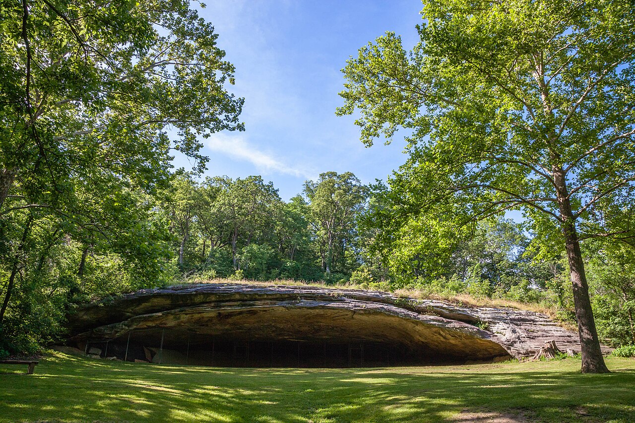
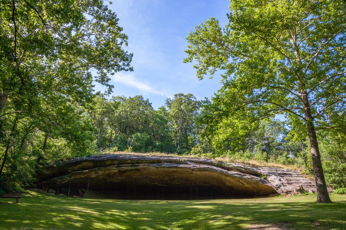
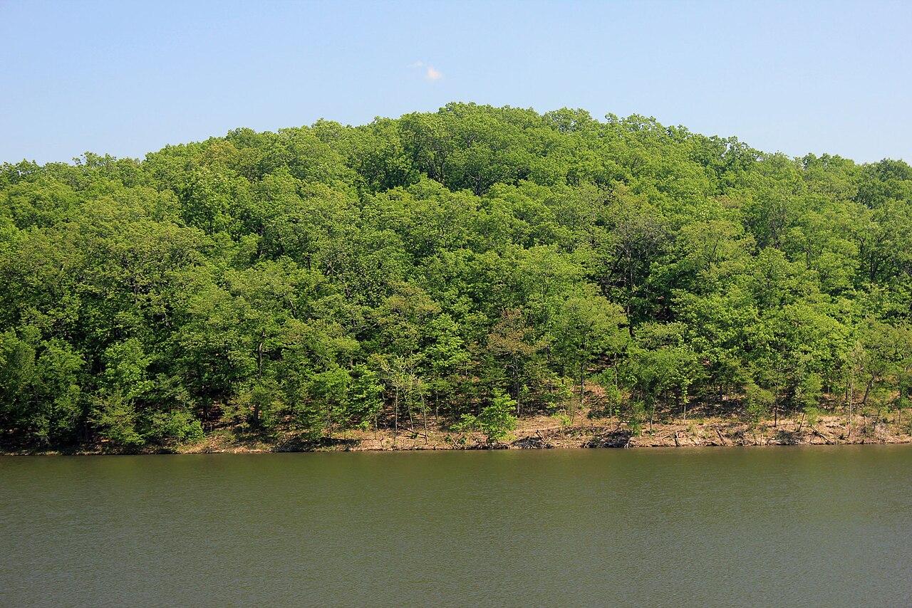
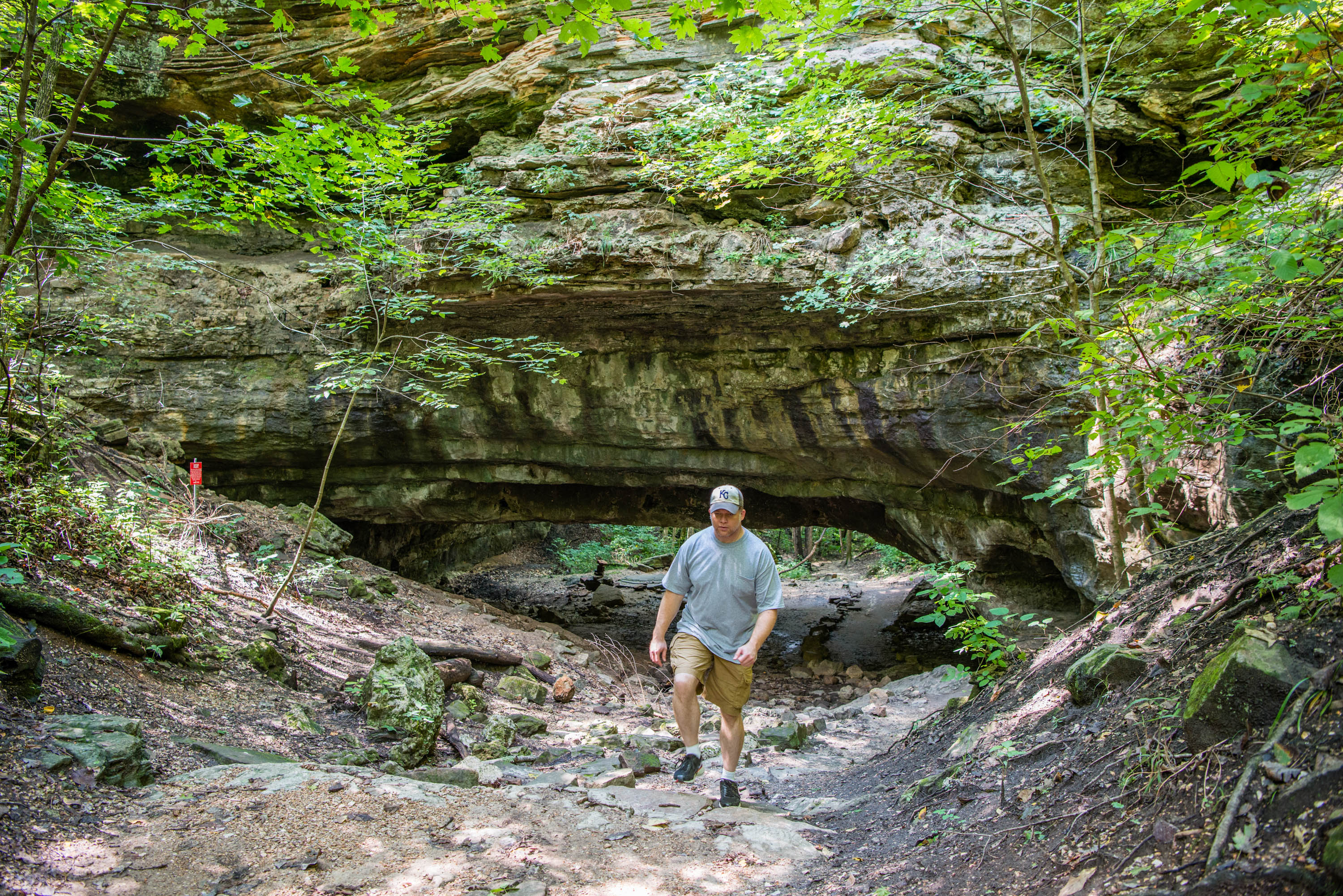
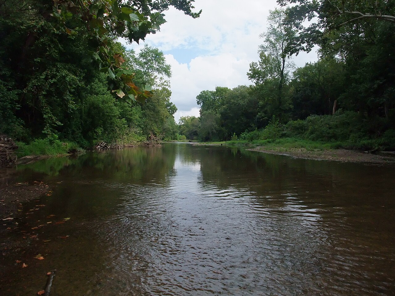
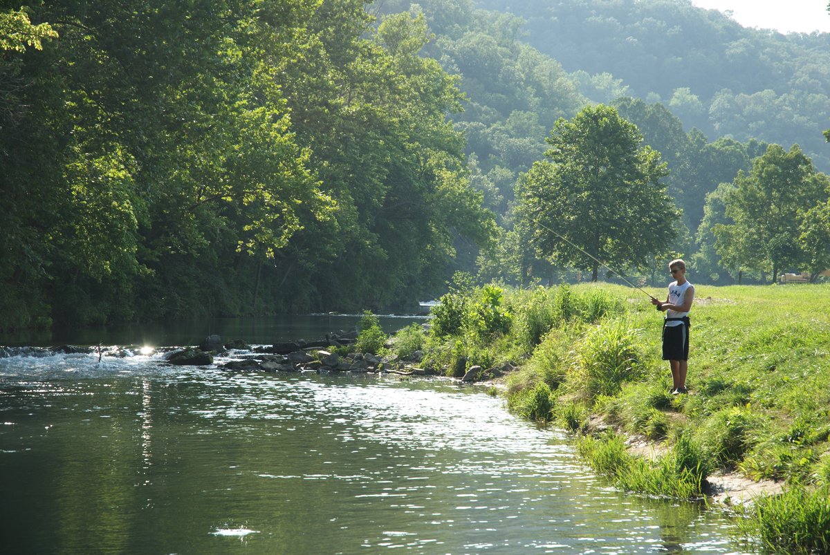
Natural Features and SceneryThe campground occupies wooded terrain carved by underground streams and riddled with sinkholes, limestone ledges, and cave openings. Just beyond the tents, the park's namesake rock bridge arches over the entrance to Devil's Icebox, where an underground river surfaces in a spring-fed pool. Hardwood forest. Basswood, walnut, white oak. Canopies the site and the adjacent Gans Creek Wild Area, where shaded hollows and bluff-top overlooks follow the creek valley. Elevation hovers around 800 feet, low enough that ravines and forest cover can swallow cell signal in pockets.
Geological RegionKarst landscape characterized by caves, sinkholes, an underground stream and the park's namesake natural rock bridge (Devil's Icebox/Connor's Cave area).
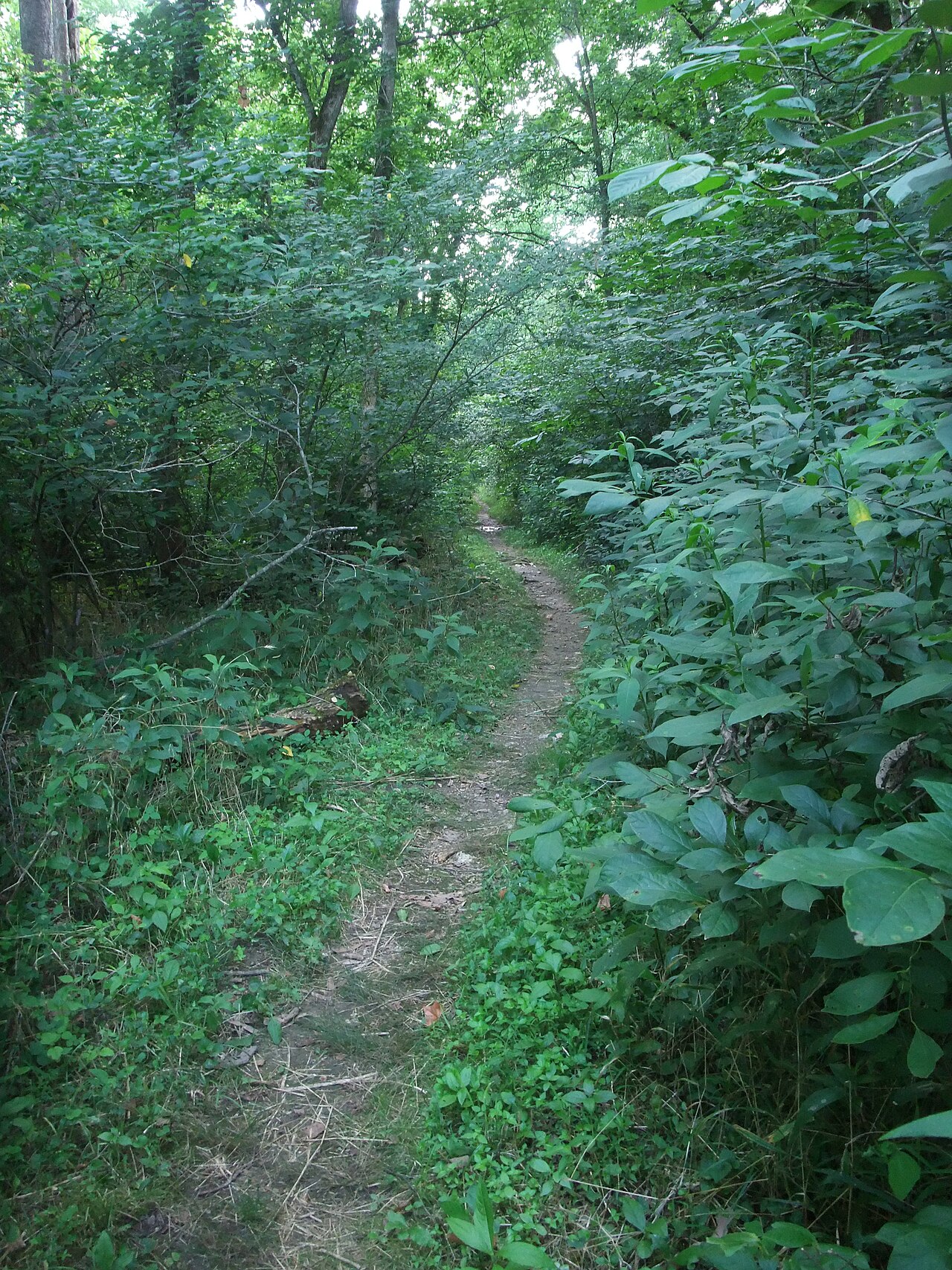
Scenic ViewsViews focus on wooded creek valleys, shaded ravines and karst features such as the natural rock bridge and cave entrances near the Devil's Icebox area rather than expansive panoramas.
 4.32
4.32