Lake Boutin Campground sits within Trail of Tears State Park along the Mississippi River, 21 minutes from Cape Girardeau. The 35-site campground (24 reservable, 11 first-come) offers electric hookups, modern showers, and lake access from May through October. The park commemorates the 1838-1839 Cherokee removal, when nine detachments crossed the river here during winter.
Campground contains developed campsites (mix of reservable and first-come sites) with typical amenities such as picnic tables and fire rings. Specific site counts and hookup availability are reported in secondary sources but are not confirmed on the official park page.
Nine of the 13 Cherokee detachments crossed the Mississippi River at this location during their forced removal to Oklahoma in the winter of 1838-1839. Thousands died during the march. The park's visitor center displays exhibits interpreting the removal and the lives lost. Weather and SeasonsThe campground operates May 1 through October 31, with all amenities available. Summer delivers the warmest lake swimming and the busiest weekends; mornings typically hit 75-85°F before climbing to mid-80s or low-90s, with humid evenings. Early mornings work best for fishing and wildlife viewing before the heat builds. Reserve ahead for weekends and holiday weeks, or visit midweek for a quieter experience. Winter birding for eagles is excellent, but you'll need to stay elsewhere since the campground closes.
Weather data by Open-Meteo.com, licensed under CC BY 4.0, processed by Outdoorithm.
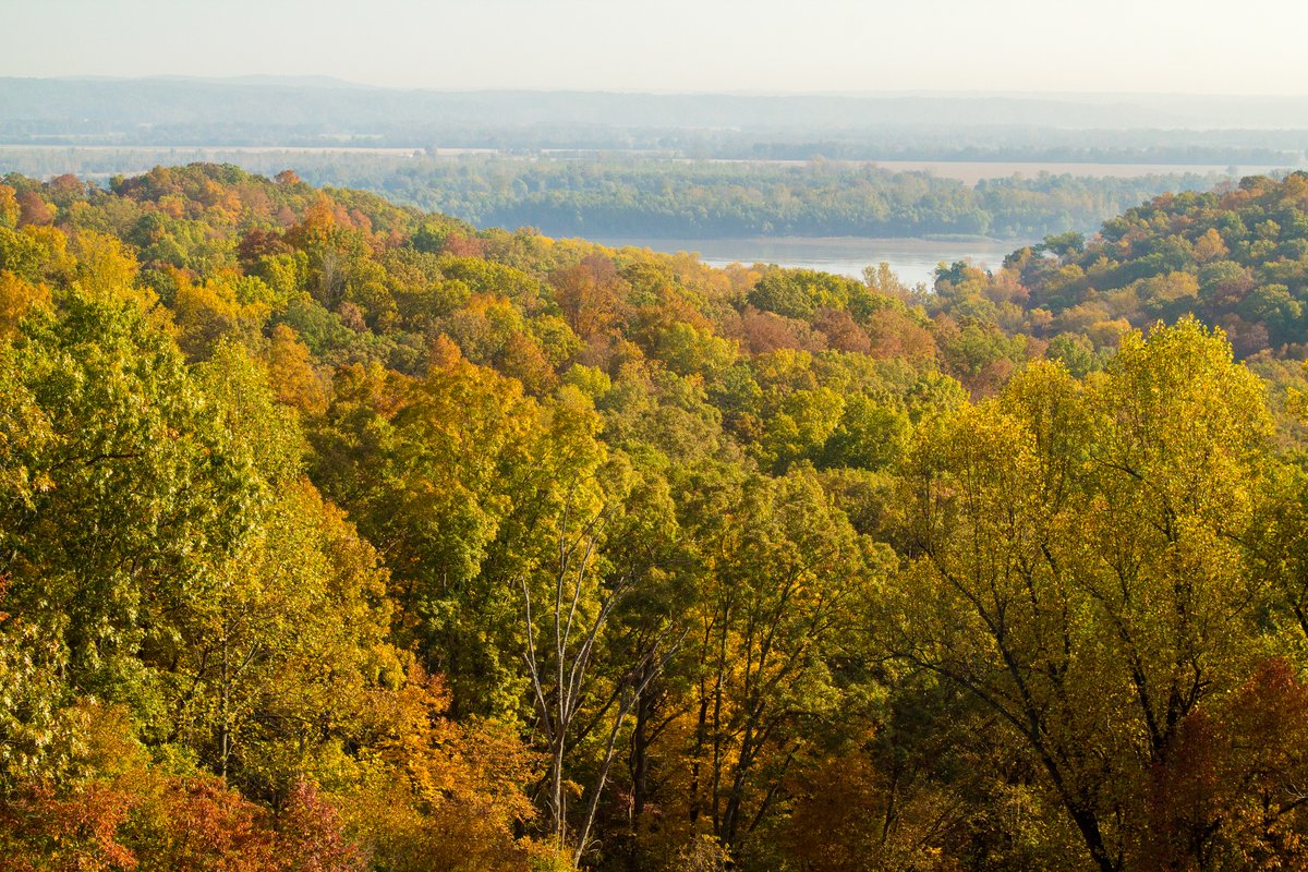
Natural Features and SceneryThe campground occupies wooded terrain near 20-acre Lake Boutin, which features a sand swimming beach and calm water for fishing. Sites overlook the lake or the Mississippi River; many campers report watching barges and cargo boats pass from their picnic tables. Forested hills surround the grounds, attracting deer, wild turkeys, rabbits, and abundant songbirds including warblers, thrushes, and tanagers. Waterfowl such as American white pelicans frequent the area, and raptors (hawks, kites) hunt overhead. Bald eagles appear in winter, though the campground is closed then. The park's location on the Great River Birding Trail makes it especially popular with birdwatchers.
Scenic ViewsMajestic views of the Mississippi River and surrounding river valley; scenic overlooks near Lake Boutin.
 4.20
4.20