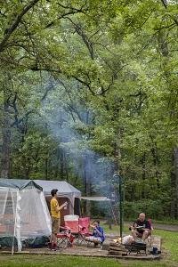
This 47-site campground sits along the Big River in St. Francois State Park, just off Highway 67 north of Bonne Terre. Electric sites have concrete pads and water hydrants, while the north loop offers basic sites under heavy shade. Campers praise the clean facilities, hot showers, and easy river access, though sites run close together and mud is common after rain.
The park lists more than 100 campsites in campgrounds with modern restrooms and hot showers. Visitor reports describe both tent and electric/RV-capable sites (including pull-throughs at loop ends).
Weather and SeasonsApril through May delivers the sweet spot: daytime highs between 55°F and 75°F, the Big River running high for paddling, and wildflowers appearing along the trails. Summer draws crowds for swimming and tubing but brings heavy bugs and occasional muddy conditions if it rains. The campground stays open year-round and sees visitors even in winter thanks to proximity to St. Louis, though facilities are limited November through March. Avoid camping after a rainy forecast unless you enjoy slick, soft ground.
Weather data by Open-Meteo.com, licensed under CC BY 4.0, processed by Outdoorithm.
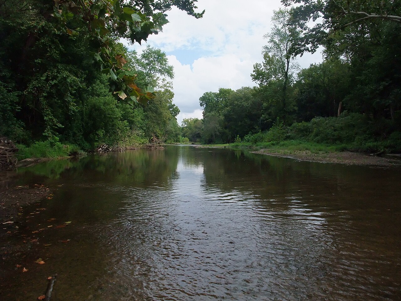
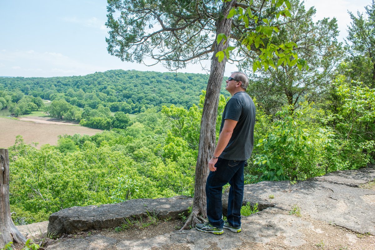
Natural Features and SceneryThe Big River flows past the campground through wooded ridges and shaded hollows. Short paths lead from sites down to the water for wading, fishing, and launching canoes. Trails wind through the Coonville Creek Wild Area, including a 1.3-mile loop to a waterfall along Coon Creek. The forest canopy keeps most sites shaded, and grassy areas break up the wooded layout. Views open to countryside and lake in spots, though Highway 67 runs close enough to hear.
Scenic ViewsWooded ridges and hollows with creek/river access to the Big River.
 4.41
4.41