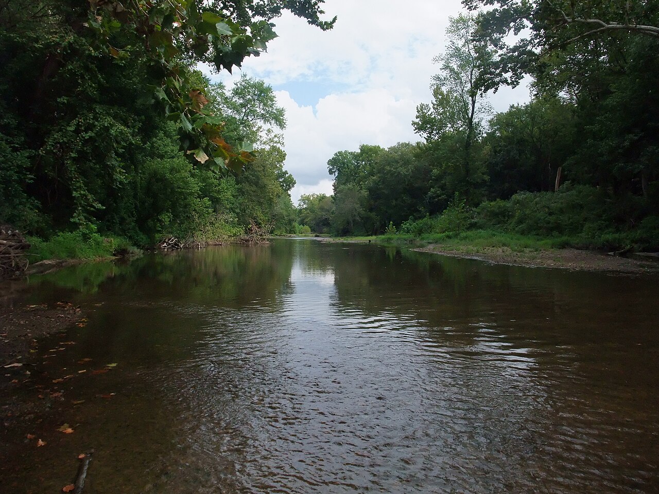
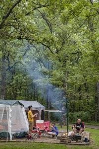
Special Use Campground sits within St. Francois State Park's forested ridges and hollows near Bonne Terre, Missouri. The park manages over 100 campsites across its campgrounds, all with flush toilets and hot showers. Big River runs along the park's edge, providing convenient access for canoeing and fishing.
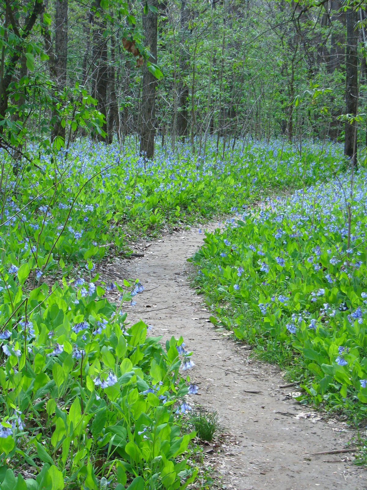
Weather and SeasonsSpring delivers the best conditions. Daytime highs run 50–75°F, cool enough for hiking and biking without the heat and insects of summer. Wildflowers bloom through the hollows and trails green up quickly. Water and shower services typically open April 1. Summer is warm and humid, good for river floating but heavy with ticks and chiggers. Fall brings maple and oak color. Winter hiking is possible but most river-based activities lose appeal in the cold. On-season amenities shut down after October 31.
Weather data by Open-Meteo.com, licensed under CC BY 4.0, processed by Outdoorithm.
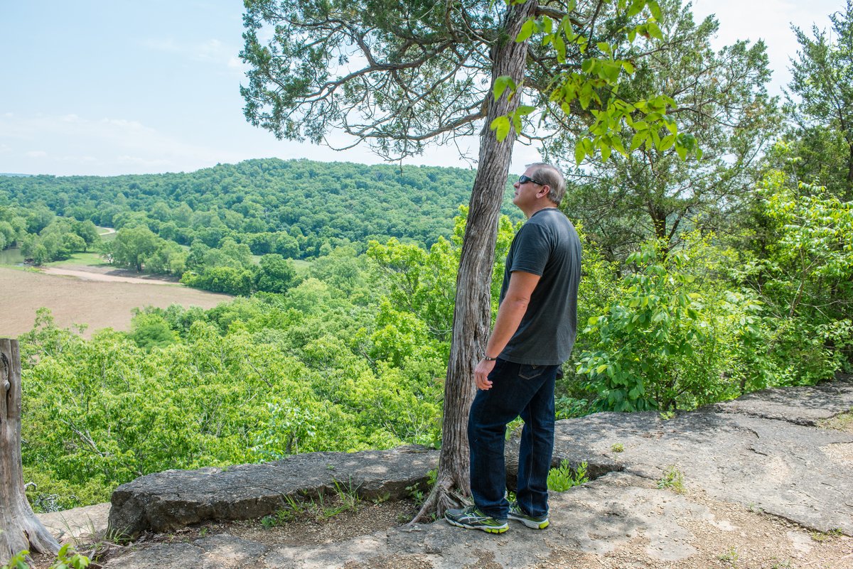
Natural Features and SceneryWooded ridges and cool hollows define the landscape here. Trails wind through oak and maple forest, passing glades on bluffs above Big River and the smaller creek valleys of the Coonville Creek Wild Area. Mooner's Hollow Trail crosses a small waterfall and creek. Views from hilltops open over forested valleys and the river corridor. White-tailed deer, wild turkey, raccoons, owls, hawks, beavers, bobcats, coyotes, and collared lizards inhabit the park. The campground sits at 689 feet elevation in the same wooded valley and ridge terrain as the main park areas.
Scenic ViewsWooded ridges, hollows and the river corridor provide wooded valley and river views from trails and higher ground; glades on bluffs overlook the Big River corridor.
 4.41
4.41