Suwannee River State Park Campground sits near the confluence of the Suwannee and Withlacoochee Rivers in North Florida, about a 45-minute drive west of I-10. The small park offers clean, well-maintained campsites (RV hookups and some paved pads), rentable cabins, and extensive hiking trails along wooded river bluffs. Reviewers consistently praise the peaceful atmosphere, friendly staff, excellent kayaking and fishing access, and scenic river views. Cell service is weak or nonexistent.
Weather and SeasonsSpring (March through May) brings the best conditions: highs in the mid-60s to mid-80s, lower humidity than summer, and peak activity for wildflowers, migrating songbirds, and paddling. Late fall through early spring also draws campers who appreciate cooler temperatures and fewer mosquitoes. Summer visits are possible but come with high heat, humidity, and heavier insect pressure. River levels can rise seasonally, with potential flooding noted in March and April. The park stays open year-round, though a campground upgrade project closed sites in mid-2025 (check current status before booking).
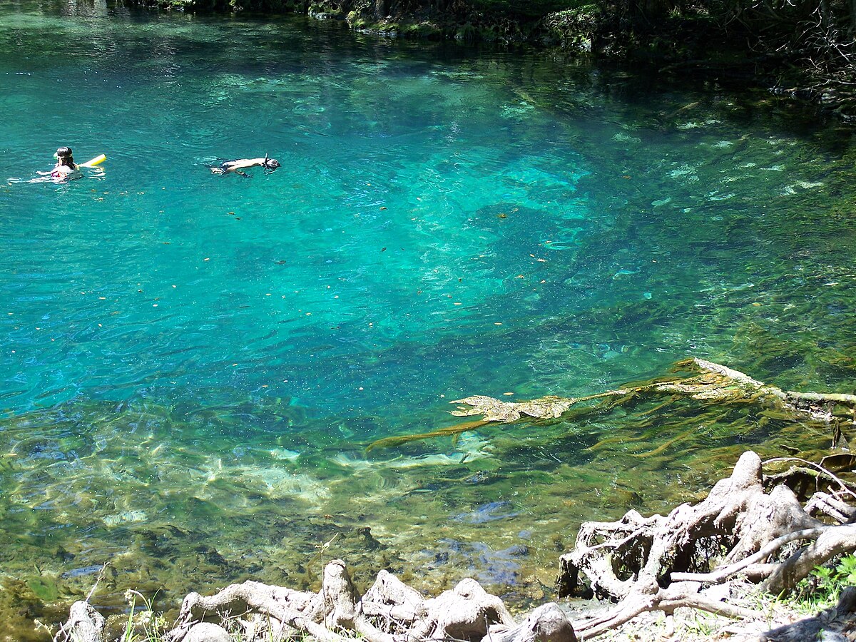
Natural Features and SceneryThe campground occupies a heavily wooded setting of tall pines and mature hardwoods that cast shade over most sites and trails. The Suwannee and Withlacoochee Rivers converge nearby, their dark, tannin-stained water winding past cypress-lined banks and sandbars. Hiking trails follow the river bluffs and floodplain, offering overlooks of the water and forested floodplain below. Gem Spring and Lime Sink Run add springs and clear-water features to the darker river system. The landscape feels older and more rustic than manicured RV parks. Quiet, scenic, with a classic North Florida river character.
 4.47
4.47