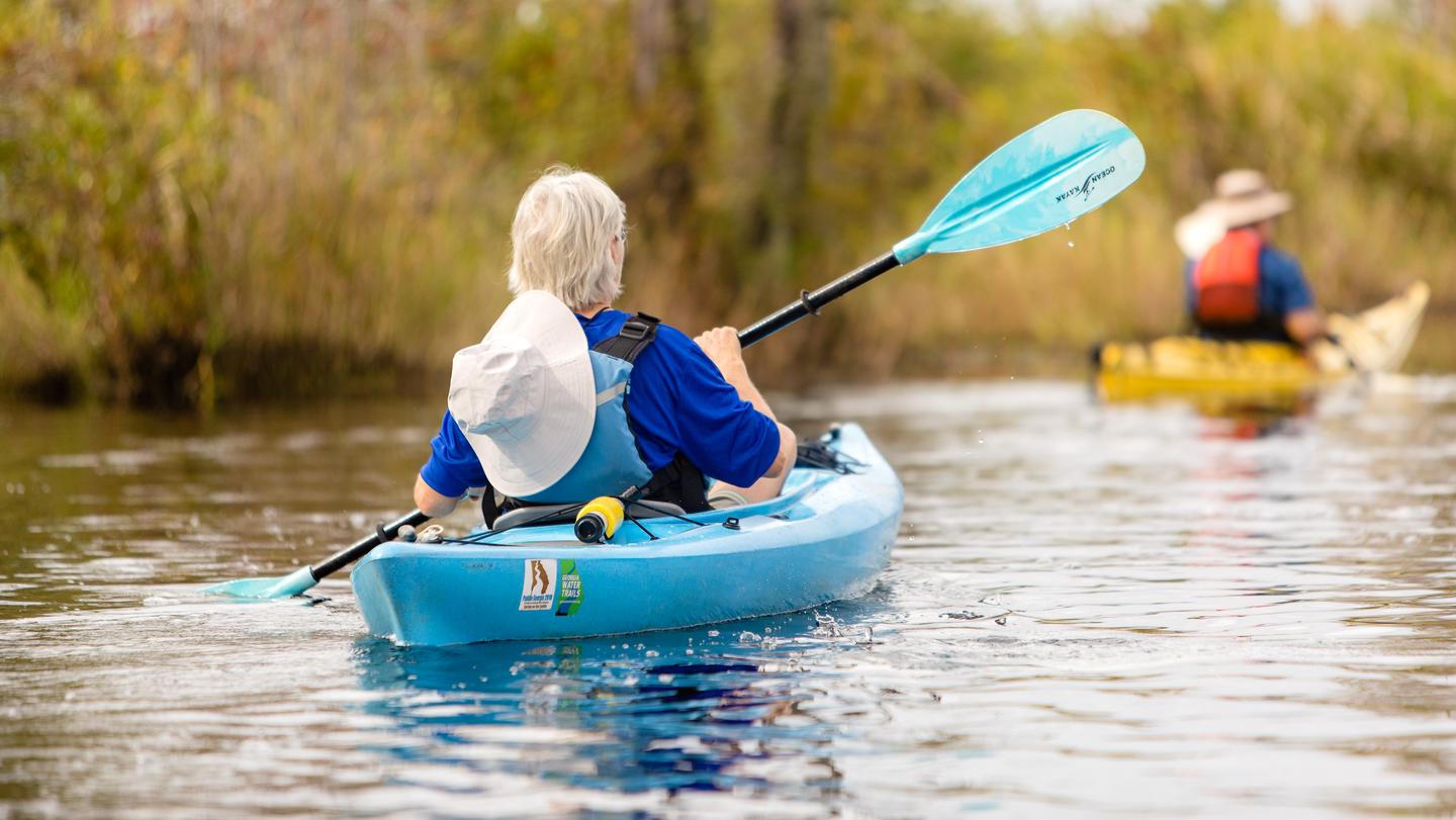
Peacock Slough is a paddle-in river camp on the Suwannee River Wilderness Trail, accessible only by boat. The camp has five screened sleeping platforms with ceiling fans and electrical outlets, plus a primitive tent area, and it's free. Paddlers praise the hot showers, clean facilities, and friendly caretakers.
River-access river camp with screened sleeping platforms and primitive campsites; no vehicle or RV access. River camps are intended for paddlers (or arriving by foot/hike where applicable) and include at least one accessible restroom.
Weather and SeasonsSpring offers the most comfortable paddling: daytime highs 70–85°F, nights in the 50s–60s, lower humidity, and stable water levels for easy launches. Migratory birds and blooming wetland flora are prominent, and insect pressure is lighter than summer. Fall and winter are also good, with cooler temperatures and fewer bugs. Summer gets very hot and humid with afternoon thunderstorms and heavier mosquitoes. The river can rise quickly after heavy rain, so check conditions at 1-800-868-9914 before launching.
Natural Features and SceneryThe camp sits where a spring-fed slough meets the dark, tannin-stained Suwannee River. Moss-draped cypress and limestone bluffs line the banks. A big flat beach at the landing opens to the river, especially pretty at sunrise and sunset. Reviewers mention standing at the landing to watch the river flow and the spring system visible from camp. Wildlife includes wading birds, turtles, river otters, and alligators in the water; songbirds and owls in the surrounding forest.
Scenic ViewsRiverfront views of the Suwannee River from the camp and landing area.
 0
0