Go if
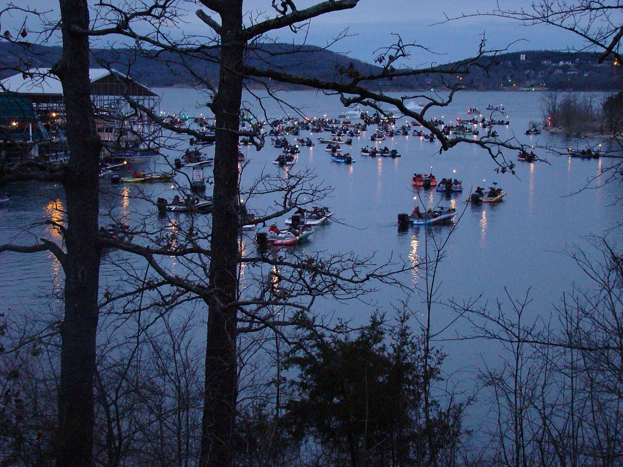
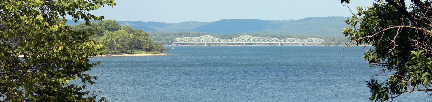
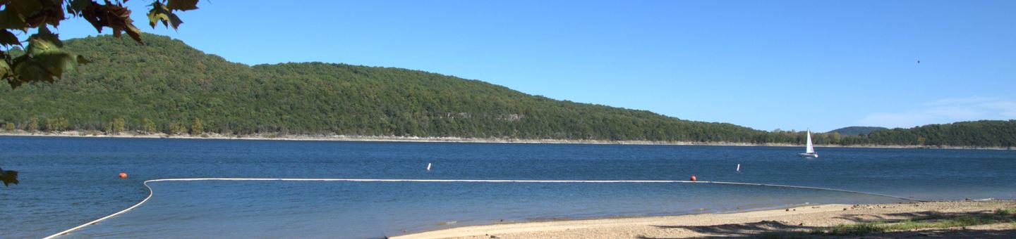
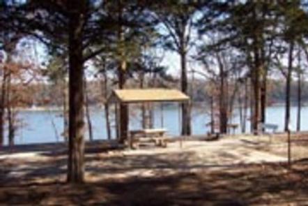
Lake campers who want real hookups and shade: the sewer/electric/water sites sit under oak and hickory canopy close to the water, and the marina rents boats if you didn't haul one. The premium yurts book fast but are worth checking first.
 4.59279 reviews
Price
Varies
Booking
Reservable
Sites
Varies
Season
On-season runs March...
Cell
No Service
Pets
Pets Allowed
Price
Varies
Booking
Reservable
Sites
Varies
Season
On-season runs March...
Cell
No Service
Pets
Pets Allowed
We'll monitor this campground and alert you the moment sites become available.
Free to start · paid plans add 2-min scans
263,000+ sites monitored · Email alerts to start; SMS and in-app with an account
Learn more about alerts →Campground 2
5272 State Highway 165, Branson, MO 65616-8901, United States
We'll monitor this campground and alert you the moment sites become available.
Free to start · paid plans add 2-min scans
263,000+ sites monitored · Email alerts to start; SMS and in-app with an account
Learn more about alerts →Lake campers who want real hookups and shade: the sewer/electric/water sites sit under oak and hickory canopy close to the water, and the marina rents boats if you didn't haul one. The premium yurts book fast but are worth checking first.
No cell signal and no Wi-Fi is the consistent complaint here. Remote workers or anyone who needs connectivity will be frustrated. Also, Branson-area costs run high and there's no camp store on site, so stock up before you arrive.
Context for the broader area surrounding Campground 2, sourced from the federal Recreation.gov rec-area record.
<A HREF="http://www.usbr.gov/dataweb/dams/nv10124.htm">Rye Patch Dam</a> and Reservoir are on the Humboldt River about 26 miles upstream from Lovelock, Nevada. The Dam, constructed in 1935-36 and enlarged in 1976, is 78 feet high with a crest length of 1,074 feet. The dam is a major feature of the <A HREF="http://www.usbr.gov/dataweb/html/humboldt.html">Humboldt Project</a>. Surface area of approximately 12,000 acres at full reservoir storage. Fishing season is year-round. Warm-water fishery with game species including white bass, walleye, white crappie, largemouth bass, bluegill, brown bullhead, and channel catfish. Nevada State record walleye caught at Rye Patch.
North on I-80 from Lovelock or south on I-80 from Winnemucca.

Availability, what to pack, similar spots — ask anything and get an instant answer.
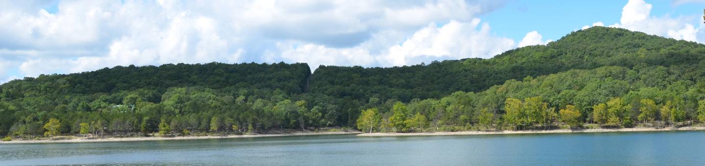
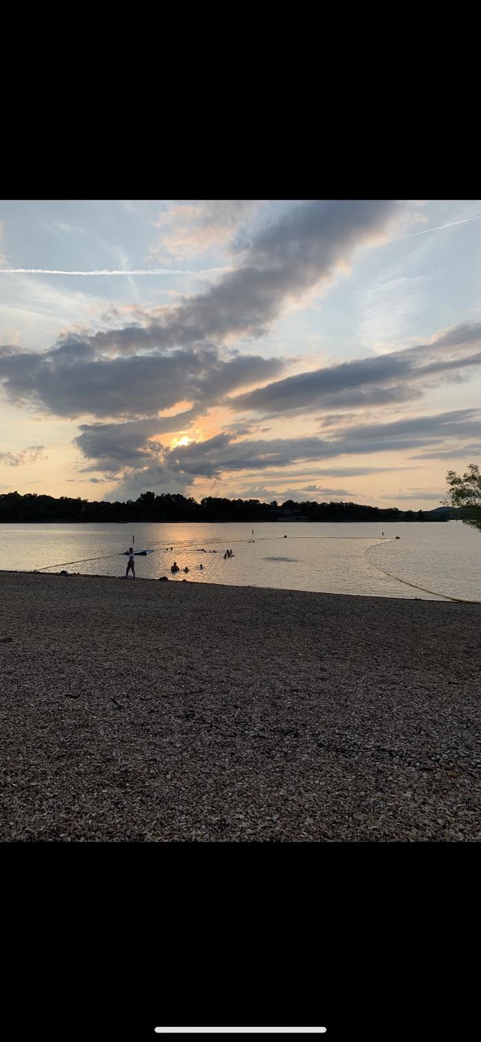
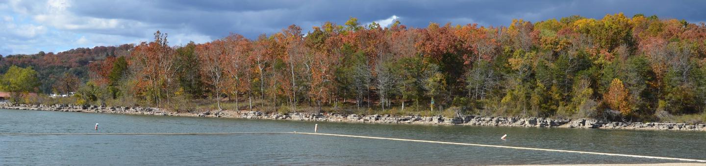
Summer brings humid days in the mid-80s to low-90s°F, the busiest time for boating and swimming. The marina runs full operations, and water activities peak, but weekends and July fill up fast. Spring wildflowers arrive in April and May with comfortable hiking weather. Fall foliage colors the oak and hickory canopy. Winter stays open for camping with electric hookups, but water service shuts down when temperatures drop and the park empties out.
Spring opens marina operations (Mar); pleasant weather for hiking, boating and fishing.
Weather data by Open-Meteo.com, licensed under CC BY 4.0, processed by Outdoorithm.
Reservation tips, booking windows, and free cancellation alerts.
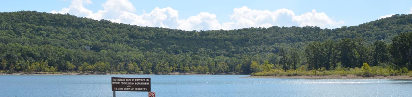
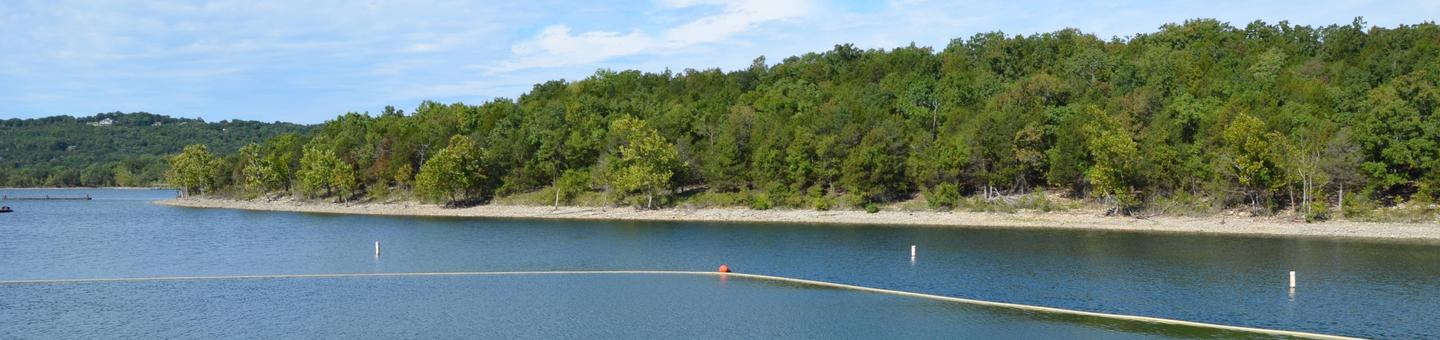
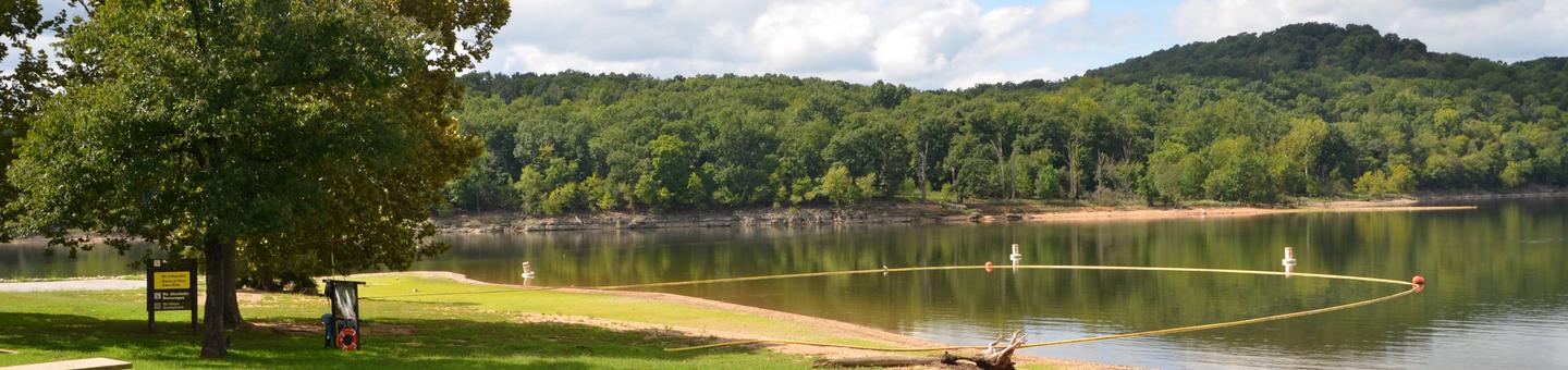
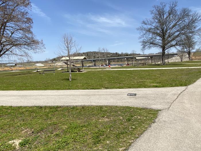
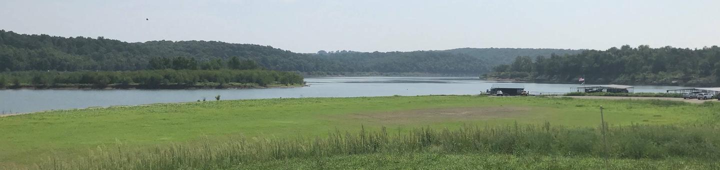
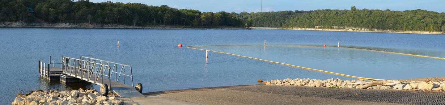
Campsites along the lake include basic, electric and sewer/electric/water sites; six premium yurts are available. The park has a full-service marina, picnic sites and reservable picnic shelter. On-season water and shower services are provided (on-season at Table Rock runs March–November).
Researching this campground? Ask anything — other campers and our team will weigh in. No visit required.
Short heads-ups about the road in, gear quirks, and timing, compiled by Outdoorithm from public reviews and operator information.
Rate Campground 2
Been here? Tap a star to start. Takes about a minute.
Sign-in required only if you want your name on it.

Be the first to review this campground
Every adventure creates another. Share what you learned so the next camper feels a little more prepared heading out.