Go if
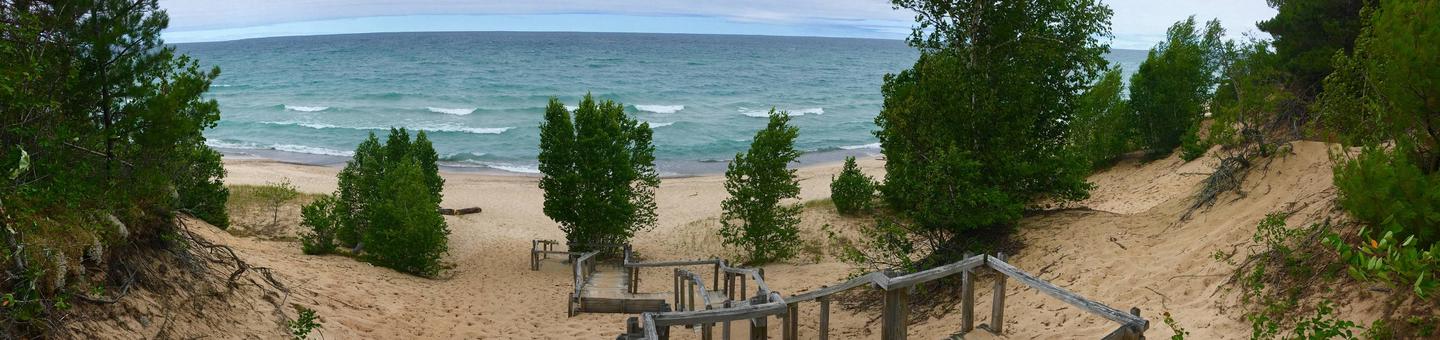
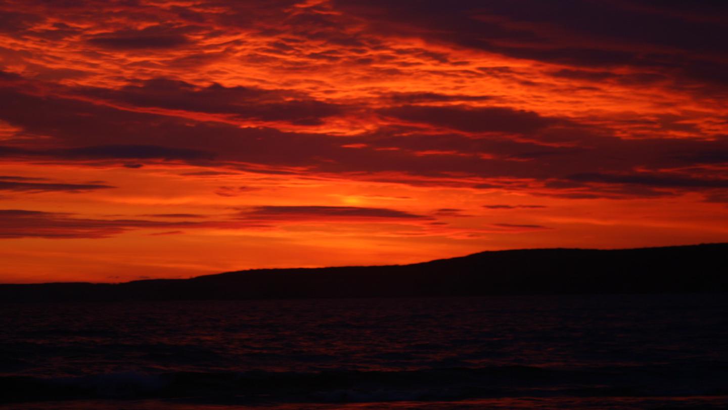
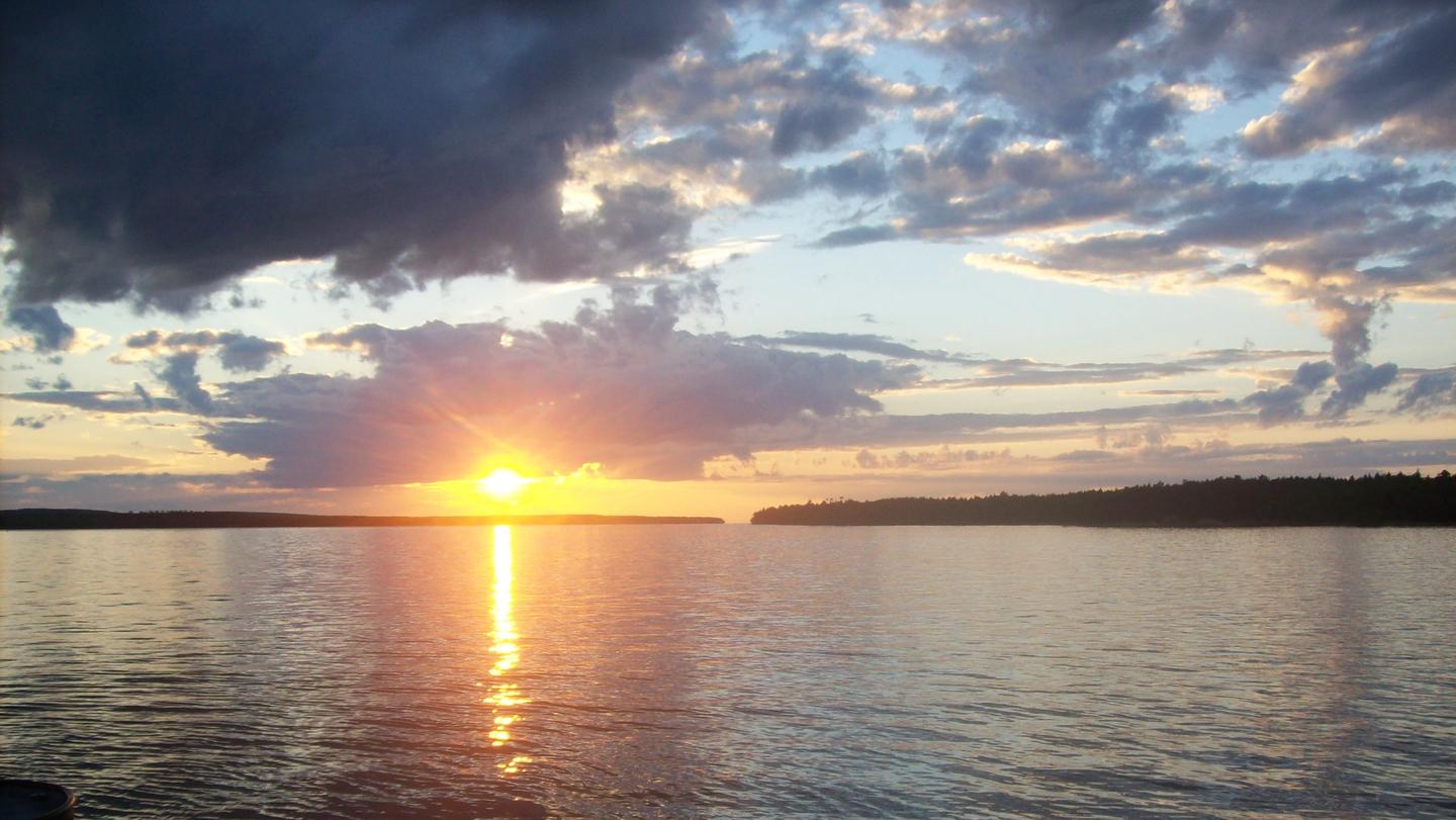
you want lakeside sunsets and beach-adjacent camping like Chapel Beach or Benchmark and don't mind booking the better-known sites early
 4.45690 reviews
Seasonal ranking by Open-Meteo.com, licensed under CC BY 4.0, processed by Outdoorithm.
Price
Varies
Booking
Reservable
Sites
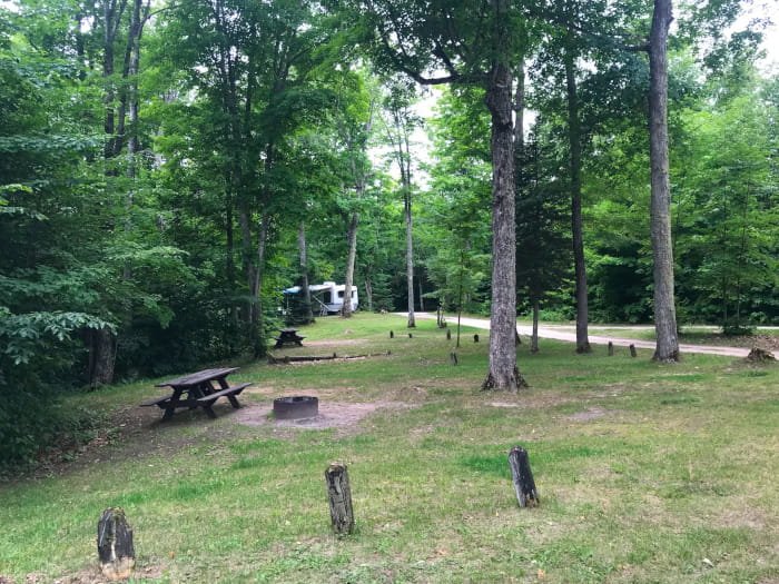
72 campsites
Season
Year-round
Cell
No Service
Pets
No Pets
Elevation by Open-Meteo.com, licensed under CC BY 4.0, processed by Outdoorithm.
Price
Varies
Booking
Reservable
Sites
72 campsites
Season
Year-round
Cell
No Service
Pets
No Pets
Elevation by Open-Meteo.com, licensed under CC BY 4.0, processed by Outdoorithm.
We'll monitor this campground and alert you the moment sites become available.
Free to start · Premium adds 2-min scans
263,000+ sites monitored · Email alerts to start; SMS and in-app with an account
Learn more about alerts →Pictured Rocks National Lakeshore Backcountry Camping Permit
PO Box 40, Munising, MI, 49862, USA
We'll monitor this campground and alert you the moment sites become available.
Free to start · Premium adds 2-min scans
263,000+ sites monitored · Email alerts to start; SMS and in-app with an account
Learn more about alerts →you want lakeside sunsets and beach-adjacent camping like Chapel Beach or Benchmark and don't mind booking the better-known sites early
you need guaranteed privacy and clean conditions everywhere, since spots like Mosquito River can mean trash and tight neighbors
Camper Report Card
Rated higher than 52% of graded campgrounds
Graded on what 397 campers actually wrote - graded on 14 things that make or break a trip. Each topic is graded against every other campground on it - A is among the best, C about average. No star ratings.
Strengths
Watch-outs
Each topic is graded against every other campground on it; a topic campers liked never grades below C−. ± shows the 95% confidence range from the sample size.
Context for the broader area surrounding Pictured Rocks National Lakeshore Backcountry Camping Permit, sourced from the federal Recreation.gov rec-area record.
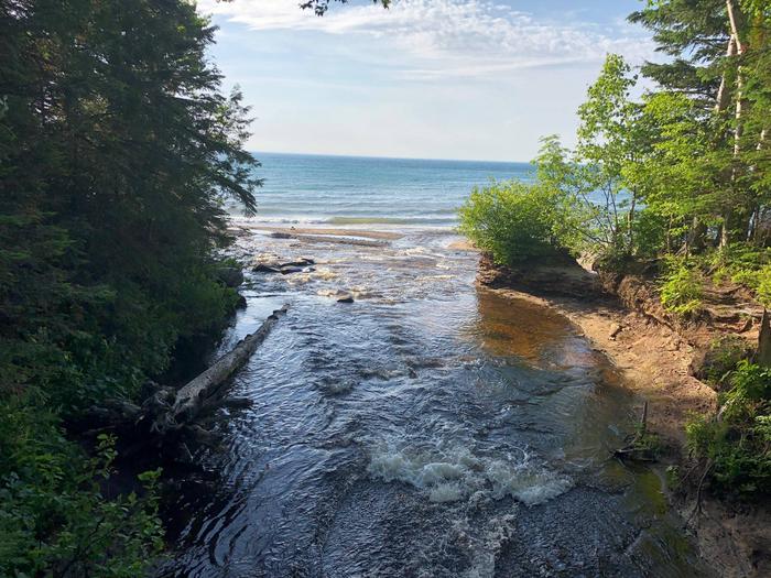
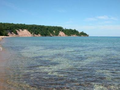
Sandstone cliffs, beaches, waterfalls, sand dunes, inland lakes, deep forest, and wild shoreline beckon you to visit Pictured Rocks National Lakeshore. The power of Lake Superior shapes the park's coastal features and affects every ecosystem, creating a unique landscape to explore. Hiking, camping, sightseeing, and four-season outdoor opportunities abound.
Pictured Rocks NL is located on the south shore of Lake Superior in Michigan's Upper Peninsula, between the towns of Munising (west) and Grand Marais (east). Access the west side of the park via Michigan highways M-28 and M-94 to Munising. State highway M-77 leads to Grand Marais on the east side. Alger County Road H-58 runs parallel and through the park, providing access to spur roads that lead to scenic overlooks, trailheads, campgrounds, beaches, etc. Many roads are closed in winter due to snow.
Pictured Rocks National Lakeshore Backcountry Camping Permit appears in our curated guides. Explore more top-rated campgrounds for the same activities and regions.

Availability, what to pack, similar spots — ask anything and get an instant answer.
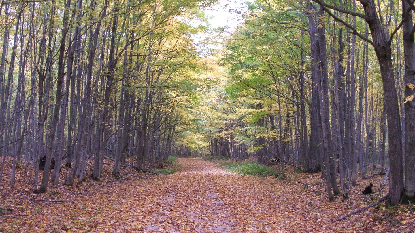
Best season: fall. Fall offers the clearest, most dramatic experience — crisp days (typically 45–60°F / 7–15°C) and cool nights (around 25–40°F / -4–4°C) bring peak foliage across maples and birches and reduce biting insects. Kayaking and hiking along the sandstone cliffs are especially rewarding for photography and wildlife viewing, and Lake Superior is often calmer for paddling in September–early October. Crowds are lower than midsummer (though weekends can still be busy near launch points), and permits are easy Peak months: September, October, August, July Avoid: January, February
Fall called best season with peak foliage, crisp days and minimal bugs in reviews.
Weather data by Open-Meteo.com, licensed under CC BY 4.0, processed by Outdoorithm.
Reservation tips, booking windows, and free cancellation alerts.
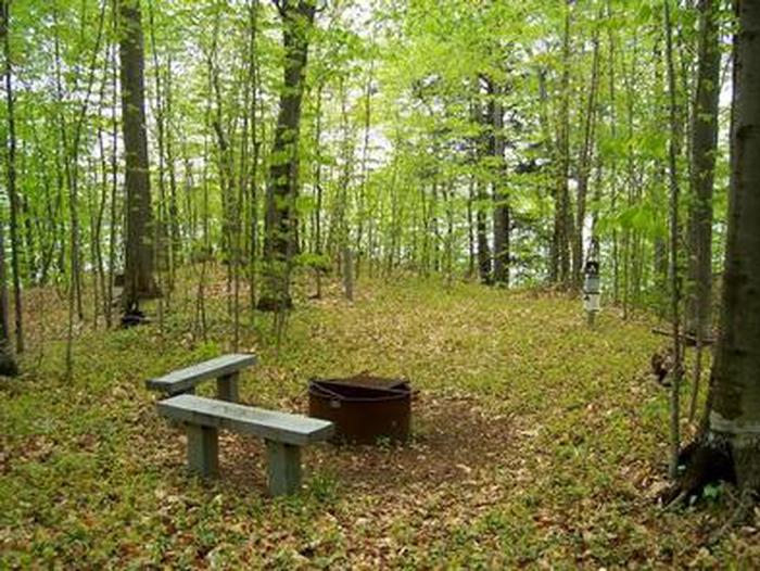
There is no potable water located along the North Country Trail. A reminder to bring items to sanitize any lake or stream water for safe consumption. There is no electricy or hookups located along the North Country Trail and backcountry campsites. Fires are not allowed at Mosquito River and Chapel Beach backcountry campgrounds. No pets are permitted in any portion of our park's backcountry. No exceptions.
Researching this campground? Ask anything — other campers and our team will weigh in. No visit required.
Short heads-ups about the road in, gear quirks, and timing, compiled by Outdoorithm from public reviews and operator information.
Rate Pictured Rocks National Lakeshore Backcountry Camping Permit
Been here? Tap a star to start. Takes about a minute.
Sign-in required only if you want your name on it.

Be the first to review this campground
Every adventure creates another. Share what you learned so the next camper feels a little more prepared heading out.