Go if
Paddlers and pike fishers who can show up mid-week in September or October. Waterfront sites open up easily in fall, the boat launch is right there, and muskie, perch, and pike are all in the flooding. Tent or small trailer only.
Price
Varies
Booking
Walk-in Only
Sites
12 campsites
Season
Year-round
Cell
Unknown
Pets
Check Policy
Price
Varies
Booking
Walk-in Only
Sites
12 campsites
Season
Year-round
Cell
Unknown
Pets
Check Policy
Natalie State Forest Campground
46.3510, -85.5790
Paddlers and pike fishers who can show up mid-week in September or October. Waterfront sites open up easily in fall, the boat launch is right there, and muskie, perch, and pike are all in the flooding. Tent or small trailer only.
Large RVs won't fit the tight sites, and the access road will punish anything big. Summer visits mean genuine mosquito and black fly misery in a wetland environment, so pack serious bug protection or reconsider the dates.
Official information for Natalie State Forest Campground from the Michigan Department of Natural Resources.
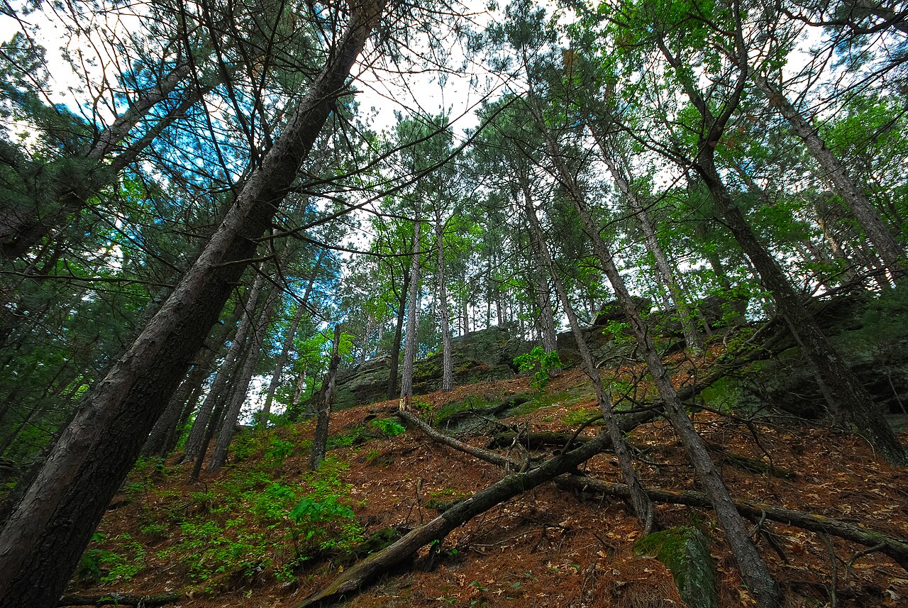
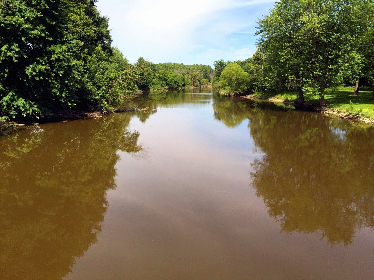
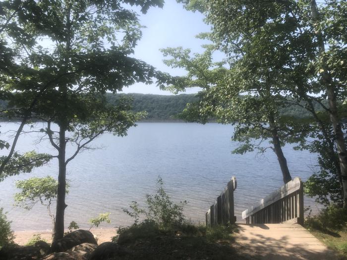
This rustic campground is located on the Dollarville Flooding, which is part of the Tahquamenon River watershed. The Dollarville Flooding is a state wildlife management area. The calm waters of the flooding offer excellent paddling and wildlife viewing opportunities. There is a wheelchair-accessible boardwalk near the boat launch which provides public access to a hunting and wildlife viewing blind overlooking the flooding. There are 12 sites for tent and small trailer use. Camping is limited to a 15-day maximum stay. Amenities include vault toilets and potable water from a water spigot. The campground is located four miles west of Newberry via County Road 405 and County Road 434. Sites available on a first-come, first-serve basis. No reservations. View Campground closing and opening dates .
Availability, what to pack, similar spots — ask anything and get an instant answer.
Fall is the standout season here. September brings daytime highs around 45–65°F, October cools to 30–50°F, and the northern hardwoods turn brilliant colors along the flooding. Bugs drop off, fishing improves as the water cools, and wildlife becomes more visible as animals prepare for winter. The 12 sites fill only sporadically in fall, making it easy to claim a waterfront spot. Summer is warm enough for paddling and swimming, but mosquitoes can be brutal in the wetland environment. Winter roads aren't plowed, so access requires snowmobiles or skis.
Fall is the standout season: hardwoods turn brilliant, bugs drop off, ideal temps for day hikes.
Rustic state forest campground with 12 sites for tents and small trailers. Amenities include vault toilets, potable water from a spigot, a boat launch adjacent to the campground, and a wheelchair-accessible boardwalk to a hunting/wildlife viewing blind.
Researching this campground? Ask anything — other campers and our team will weigh in. No visit required.
Short heads-ups about the road in, gear quirks, timing, and more. You don't have to have been here to share what you know.
Rate Natalie State Forest Campground
Been here? Tap a star to start. Takes about a minute.
Sign-in required only if you want your name on it.
Be the first to review this campground
Every adventure creates another. Share what you learned so the next camper feels a little more prepared heading out.
/mi__basslakebas.jpg?w=384&q=40)