Go if
Horse campers wanting a clean, well-equipped base for multi-day trail riding. The barn stalls, wash racks, and dry sandy sites handle rigs up to 40 trailers, and October through November riding weather is hard to beat in north Florida.
 4.60188 reviews
Price
$16 - $30/night
Booking
Reservable
Sites
42 campsites
Season
Year-round
Cell
No Service
Pets
Pets Allowed
Price
$16 - $30/night
Booking
Reservable
Sites
42 campsites
Season
Year-round
Cell
No Service
Pets
Pets Allowed
We'll monitor this campground and alert you the moment sites become available.
Free to start · Premium adds 2-min scans
263,000+ sites monitored · Email alerts to start; SMS and in-app with an account
Learn more about alerts →Fred Gannon Rocky Bayou State Park Campground
30.4960, -86.4262
We'll monitor this campground and alert you the moment sites become available.
Free to start · Premium adds 2-min scans
263,000+ sites monitored · Email alerts to start; SMS and in-app with an account
Learn more about alerts →Horse campers wanting a clean, well-equipped base for multi-day trail riding. The barn stalls, wash racks, and dry sandy sites handle rigs up to 40 trailers, and October through November riding weather is hard to beat in north Florida.
No horses, no trip. There are no hookups, no potable water, no fire rings (active burn ban as of April 2026), and pets aren't allowed, so this place has nothing to offer anyone who didn't haul in on four hooves.
Context for the broader area surrounding Fred Gannon Rocky Bayou State Park Campground, sourced from the federal Recreation.gov rec-area record.
The <A HREF="http://www.usbr.gov/dataweb/dams/ca10167.htm">Los Banos Dam</A> and Reservoir are on Los Banos Creek above the San Luis Canal, near Los Banos, California. The dam and reservoir are features on the <A HREF="http://www.usbr.gov/dataweb/html/casanluis.html">Central Valley Project - San Luis Unit</A>. The reservoir has 620 water surface acres and 12 miles of shoreline. The recreation area offers trails following the Path of the Padres, a boat and hiking trail. The Path leads to the baths used by the padres of early California. During the spring, guided interpretive tours are provided on the trail. The reservoir offers day use facilities for picnic and family activities. Fishing opportunities are available, and the reservoir is stocked during the fall and winter months with trout. A horse camp is available and there are equestrian trails for the horse enthusiast.
Site is about 6 miles south of the town of Los Banos on State Highway 165.
Fred Gannon Rocky Bayou State Park Campground appears in our curated guides. Explore more top-rated campgrounds for the same activities and regions.

Availability, what to pack, similar spots — ask anything and get an instant answer.
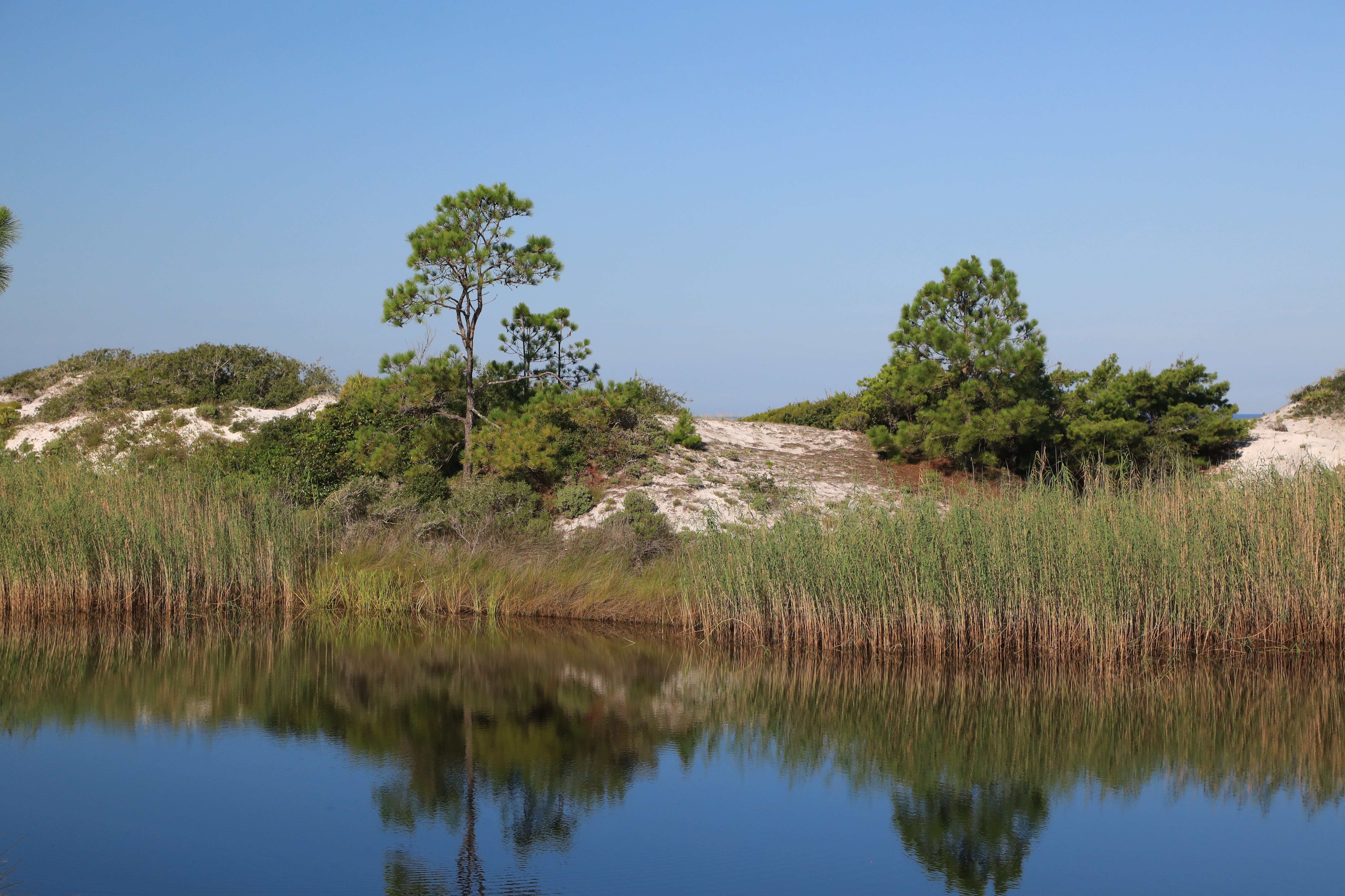
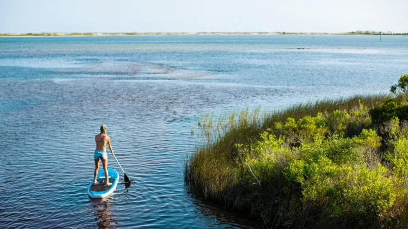
Plan your visit for spring or fall to experience the park at its finest—comfortable temperatures, manageable humidity, and ideal conditions for exploring the trails and bayou. Summer brings warmth and afternoon thunder showers that cool the air, while winter's mild days create perfect birding weather and comfortable hiking conditions without the crowds.
Mild Florida winters make the park comfortable and accessible for many activities.
Weather data by Open-Meteo.com, licensed under CC BY 4.0, processed by Outdoorithm.
Reservation tips, booking windows, and free cancellation alerts.
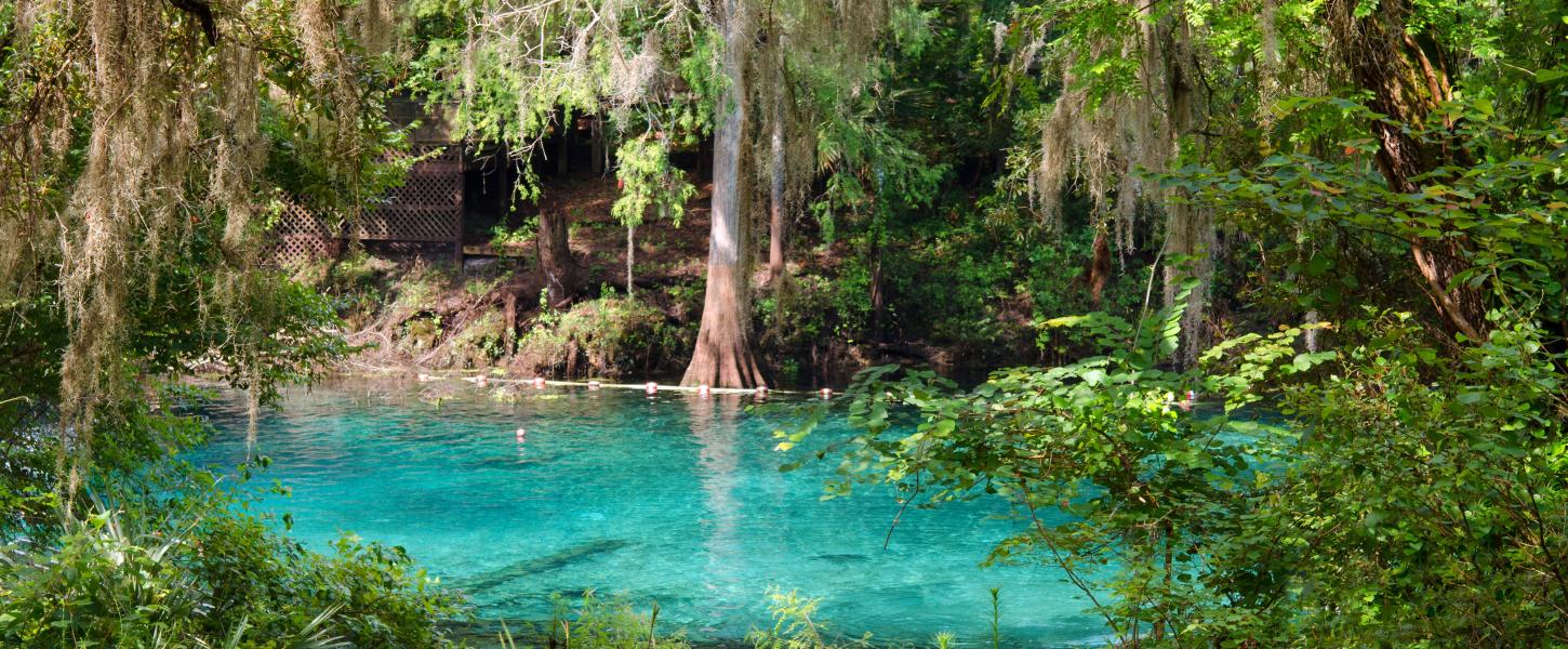
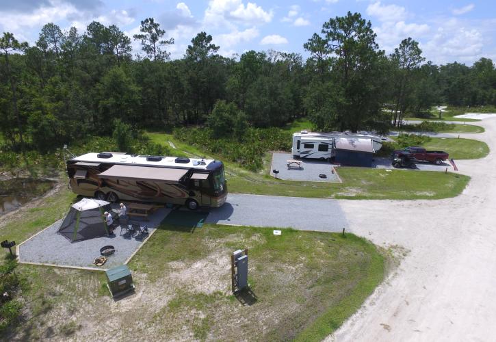
Campground with 42 shaded, roomy sites offering on-site potable water and electrical hookups, a heated/air-conditioned bathhouse with showers and laundry, picnic tables and fire rings at sites, and a boat ramp and docks on Rocky Bayou. No sewer hookups at sites; a dump station is available.
Researching this campground? Ask anything — other campers and our team will weigh in. No visit required.
Short heads-ups about the road in, gear quirks, and timing, compiled by Outdoorithm from public reviews and operator information.
Rate Fred Gannon Rocky Bayou State Park Campground
Been here? Tap a star to start. Takes about a minute.
Sign-in required only if you want your name on it.

Be the first to review this campground
Every adventure creates another. Share what you learned so the next camper feels a little more prepared heading out.