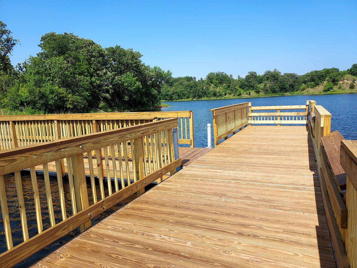
Nestled in the peaceful Redwood River valley, Lower Campground offers spacious, family-friendly sites perfect for RVs and trailers, all within a short stroll of a refreshing swimming pond and accessible nature trails. While sites are generous in size, they're positioned relatively close to neighbors, creating a social camping atmosphere rather than a secluded retreat.
Lower Campground: open, flat, grassy sites along the river suitable for RVs and trailers and close to the swimming pond; Upper Campground is more wooded and preferred by tent campers for privacy.
Historical Significance
No specific historical or cultural significance is mentioned in available sources.Weather and SeasonsSummer reigns as the favorite season here, when families flock to the swimming pond and mild evenings make for perfect campfire weather—visit in late June for surprisingly light mosquito activity, or catch May's pleasant springtime conditions. Fall transforms the valley with autumn colors and attracts hunters to the surrounding area, extending the camping season for those seeking cooler temperatures and quieter trails.
Weather data by Open-Meteo.com, licensed under CC BY 4.0, processed by Outdoorithm.
Natural Features and SceneryPicture your campsite along the gentle Redwood River, shaded by scattered trees where the valley floor opens into a beautiful mosaic of prairie grasslands and woodlands. The real adventure begins just steps from your site: trails wind upward through prairie blooms and forest canopy to rewarding overlooks, while a crystal-clear swimming pond beckons on warm afternoons. Anglers can try their luck with the river's trout population, and birdwatchers will find plenty to observe along the diverse trail system that showcases the park's varied ecosystems.
Geological RegionRedwood River valley (prairie and forest mosaic)
Scenic ViewsViews include the Redwood River valley, rolling prairie uplands and wooded hillsides with scenic overlooks along nearby hiking trails.
 0
0