The Lakeview Loop at Mike Roess Gold Head Branch State Park offers 73 campsites spread across three loops on Florida's north central sandhill ridge. Sites come with picnic tables, fire rings with grills, and potable water. Most sites include electrical hookups (30 or 50 amp), though sites 57 and 60–67 have no electric. Hot showers, laundry, and a dump station are available. The Turkey Oak campground closes for renovations November 1, 2025.
Gold Head has three developed campground loops (Sandhill, Turkey Oak, Lakeview) with 73 sites that accommodate tents, trailers and motorized campers; primitive campsites and primitive group campsites are also provided, and there are lakefront vacation cabins on site.
Historical Significance
The park is one of Florida's original state parks, developed by the Civilian Conservation Corps in the 1930s. Several lakefront cabins were built by CCC crews. The park is listed on the National Register of Historic Places.Weather and SeasonsFall delivers the most comfortable conditions. Daytime highs run mid-60s to low-80s with less humidity than summer. Migratory and resident birds fill the ravines and hammocks, making this the best season for wildlife viewing and hiking. Fishing stays strong as water temps drop. Spring also brings good birding as warblers pass through. Summer sites without shade get hot. Cabins have gas fireplaces that operate October 1 through April 30. Crowds stay light to moderate except holiday weekends.
Weather data by Open-Meteo.com, licensed under CC BY 4.0, processed by Outdoorithm.
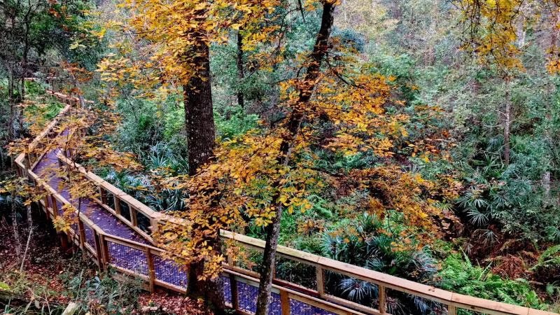
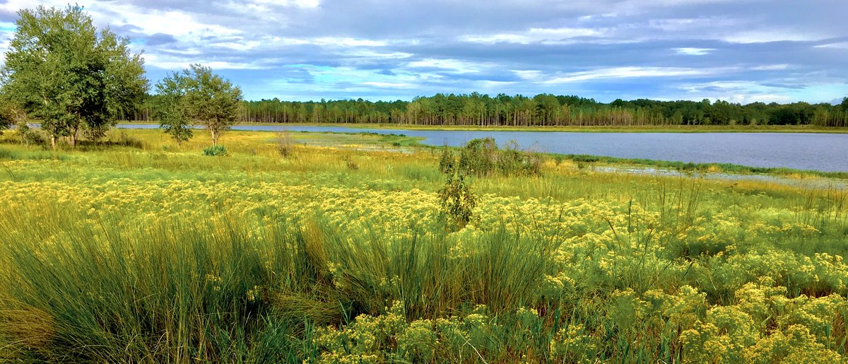
Natural Features and SceneryThe campground sits atop rolling sandhills covered by one of Florida's last old-growth longleaf pine stands. A ravine carved by Gold Head Branch's seepage springs drops sharply into hardwood forest below. Little Lake Johnson and Pebble Lake anchor the park's 2,300 acres of mixed habitat. Marshes, sinkholes, and Devil's Wash Basin (a remote trail-only lake) add variety. Deer, turkey, woodpeckers, and bald eagles move through the pines and hammocks. The campground itself ranges from open sandy sites to more shaded areas under the canopy.
Geological RegionRolling sandhills on the north central ridge of Florida (sandhill habitat with longleaf pine, marshes, lakes and ravine/seepage springs).
Scenic ViewsRavine and boardwalk areas, Little Lake Johnson and other park lakes and marshes associated with the Gold Head Branch ravine system.
 4.48
4.48