Fouts
 2.926 reviews
Quick Facts
1,611 ftPrice
$5/night
Booking
Walk-in Only
Sites
Varies
Season
Year-round
Cell
Unknown
Pets
Check Policy
Elevation by Open-Meteo.com, licensed under CC BY 4.0, processed by Outdoorithm.
Quick Facts
1,611 ftPrice
$5/night
Booking
Walk-in Only
Sites
Varies
Season
Year-round
Cell
Unknown
Pets
Check Policy
Elevation by Open-Meteo.com, licensed under CC BY 4.0, processed by Outdoorithm.
Get Notified When Available
We'll monitor this campground and alert you the moment sites become available.
Free to start · paid plans add 2-min scans
263,000+ sites monitored · Email alerts to start; SMS and in-app with an account
Learn more about alerts →Campground Map
Fouts
39.3597, -122.6522
Weather at Fouts
About Fouts
RV details
Get Notified When Available
We'll monitor this campground and alert you the moment sites become available.
Free to start · paid plans add 2-min scans
263,000+ sites monitored · Email alerts to start; SMS and in-app with an account
Learn more about alerts →From the U.S. Forest Service
Reference information about Fouts sourced from official USFS records and forestcamping.com. View official recreation.gov page →
Overview
<p>Adjacent to stream. General vegetation in the area is brush and gray pine trees.</p>
About the campground
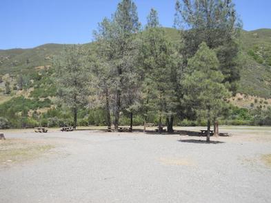
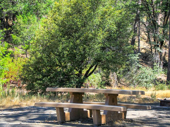
The elevation is 1,607 ft. The campground stretches out along a bluff overlooking Mill Creek. Fire took out the trees so campground is completely open and lacks shade. The campground is the primary staging area for over a hundred miles of OHV trails ranging from easy to most challenging. Contact Grindstone Ranger District for current trail information and conditions.
Seasons & access
The parking aprons are gravel. Can accommodate any size RV. For a fee, an RV waste station, with potable water, is available between Fouts Springs Rd. (M10) and Fouts Springs campground. Facilities Flush Toilets: No Hot Showers: No Vaults: Yes Wheelchair Friendly Toilets: Yes Public Phone: No Playground: No No. Water Spigots (non-site): 3 No. Threaded: 0 Water Sports None Hiking: Trail 41 (OHV) - provides access to a network of over 100 miles of trails in the area. Fishing: Rainbow trout
RV information
The parking aprons are gravel. Can accommodate any size RV. For a fee, an RV waste station, with potable water, is available between Fouts Springs Rd. (M10) and Fouts Springs campground.
Directions
In Stonyford, CA, at the intersection of Fouts Springs Rd. and Lodogo- Stonyford Rd., take Fouts Springs Rd. (Forest Service Rt. M10) west 8.3 miles to Fouts Springs OHV Staging Area sign. Turn right at sign and go 0.2 miles to campground on right.
- National Forest
- Mendocino National Forest
- Ranger District
- Grindstone
- Elevation
- 1,607
- Rate
- $5 per day
- Maximum Stay
- 14