Highway 108 threads through the Sierra Nevada, linking a series of Forest Service campgrounds at different elevations. The corridor offers quick access to alpine terrain, though specific amenities, site counts, and fees vary by campground. The Forest Service publishes maps and comparison tables to help you choose a basecamp.
The source refers generally to multiple campgrounds along Highway 108 and provides a link to a map and table; no specific campground type information (tent, RV, primitive, group, cabins, glamping) is included in the provided text.
Weather and SeasonsBest season: summer. Summer offers the clearest access to the high-country campgrounds along Highway 108, with most snow melted and mountain roads and trailheads open for hiking, fishing, and day drives. Daytime highs typically range from the mid-60s to mid-80s °F depending on elevation, with cool nights in the 30s–50s °F — comfortable for camping and stargazing. This is peak season for alpine lakes, backpacking routes, and wildflower displays at lower elevations, though expect moderate to heavy crowds on holiday/週末
Peak months: July, August, September, June
Avoid: December, January, February, March
Weather data by Open-Meteo.com, licensed under CC BY 4.0, processed by Outdoorithm.
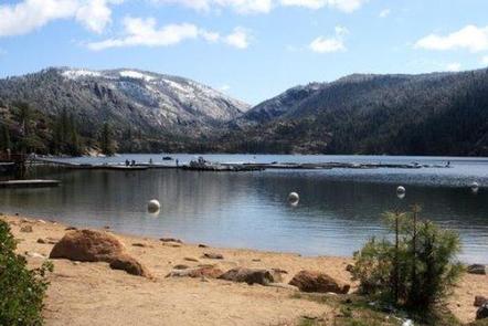
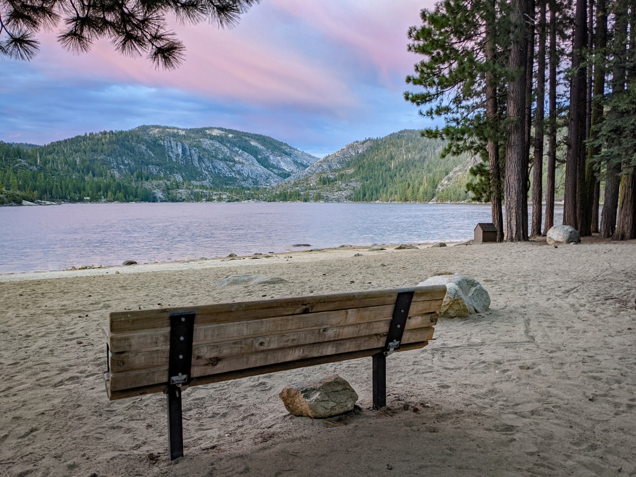
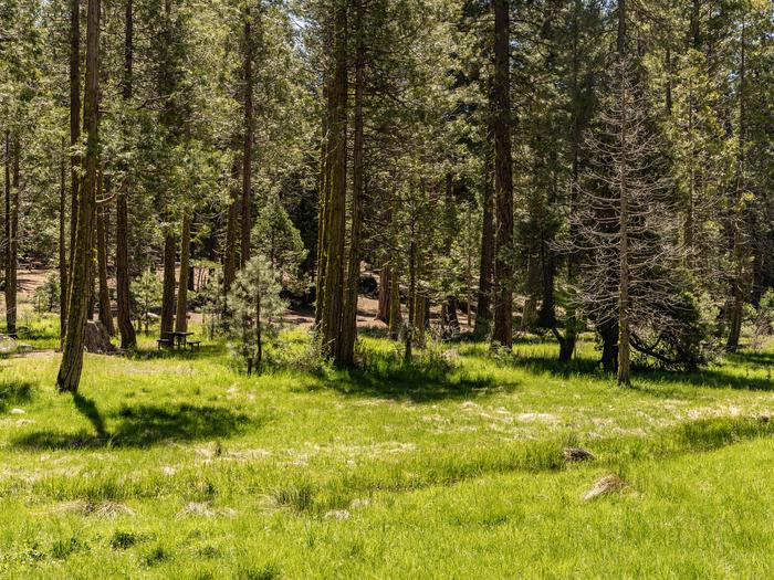
Natural Features and SceneryThe highway climbs through changing ecosystems. Lower elevations hold pine forests and granite outcroppings. Higher up, the landscape shifts to alpine settings with mountain streams cutting through the terrain. Each campground sits in its own microclimate, determined by elevation and exposure.
 4.37
4.37