Go if
You want affordable access to Moab trails and don't need hookups or site privacy.
 4.0450 reviews
Seasonal ranking by Open-Meteo.com, licensed under CC BY 4.0, processed by Outdoorithm.
Price
$20/night
Booking
Reservable
Sites
10 campsites
Season
Year-round
Cell
Has Service
Pets
Very Pet Friendly
Elevation by Open-Meteo.com, licensed under CC BY 4.0, processed by Outdoorithm.
Price
$20/night
Booking
Reservable
Sites
10 campsites
Season
Year-round
Cell
Has Service
Pets
Very Pet Friendly
Elevation by Open-Meteo.com, licensed under CC BY 4.0, processed by Outdoorithm.
We'll monitor this campground and alert you the moment sites become available.
Free to start · Premium adds 2-min scans
263,000+ sites monitored · Email alerts to start; SMS and in-app with an account
Learn more about alerts →Courthouse Rock Campground
82 E. Dogwood, Moab, UT, 84532
We'll monitor this campground and alert you the moment sites become available.
Free to start · Premium adds 2-min scans
263,000+ sites monitored · Email alerts to start; SMS and in-app with an account
Learn more about alerts →You want affordable access to Moab trails and don't need hookups or site privacy.
You need spacious, secluded sites or reliably maintained restroom facilities.
Camper Report Card
Rated higher than 9% of graded campgrounds
Graded on what 31 campers actually wrote - graded on 14 things that make or break a trip. Each topic is graded against every other campground on it - A is among the best, C about average. No star ratings.
Strengths
Watch-outs
Each topic is graded against every other campground on it; a topic campers liked never grades below C−. ± shows the 95% confidence range from the sample size.
Context for the broader area surrounding Courthouse Rock Campground, sourced from the federal Recreation.gov rec-area record.
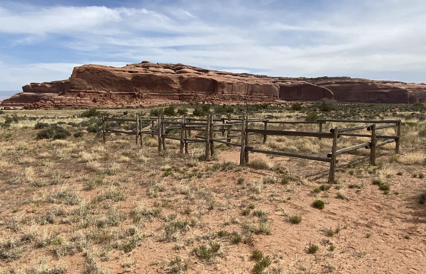
Located in the heart of the Colorado Plateau, the Moab Field Office encompasses 1.8 million acres of stunningly scenic canyon country. Carved by the Colorado and Green Rivers, Moab’s public lands include a vast variety of arches, natural bridges, mesas, and spires. The Moab Field Office is a mecca for recreation, including off-highway vehicles, mountain biking, climbing, base jumping, hiking, horse-back riding, and river rafting. In addition to supporting millions of visitors and hundreds of recreation related jobs in the local communities, Moab also supports a wide array of land uses such as oil and gas production, mining, and livestock grazing. The Field Office is known for evidence of dinosaurs and features the Mill Canyon Interpretive Track Site and Bone Trail. These canyonlands are home to many types of desert wildlife and the area supports a healthy population of big horn sheep, and can provide great opportunities for wildlife viewing during the fall. Spring and fall are especially busy and popular times to be in Moab. To help keep this area beautiful and be respectful of other visitors, please recreate responsibly, following the principles of Tread Lightly and Leave No Trace. For camping information refer to the Moab Camping Guide and Colorado River Moab Daily Camping Map. For updated information about the Canyon Country District, Moab Field Office, and Monticello Field Office, check out the Bureau of Land Management Moab and Canyon Country Facebook page.ill be filled out soon
Within the town of Moab, drive south on Main Street and turn west onto East Dogwood Avenue. The Moab Field Office is on the south side of Dogwood marked by the Canyon Country District and Moab Field Office BLM sign. The put in for the Moab Daily section of the Colorado River is located at the Hittle Bottom Campground, 21 miles east of Moab on Utah State Route 128. Alternate launch points are at Dewey Bridge, Onion Creek, Rocky Rapid, Ida Gulch and Sandy Beach.

Availability, what to pack, similar spots — ask anything and get an instant answer.
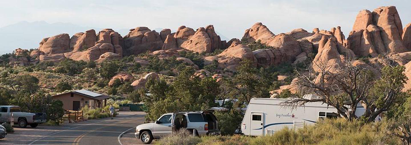
Best season: fall. Fall offers the most comfortable weather for big days on the trails — expect daytime highs in the 60s–80s°F (15–27°C) in September–October with crisp nights often dropping into the 30s–40s°F (0–8°C). Those conditions are ideal for hiking, mountain biking and OHV exploration from the campground without the intense heat of summer or the busiest spring crowds. Light is excellent for photography of Courthouse Rock and the surrounding red‑rock vistas, and weekends are moderately busy while weekdays ( Peak months: October, September, April, November Avoid: July, August
Overview: 'Best season: fall' with comfortable highs (60s–80s°F) and crisp nights for trail days.
Weather data by Open-Meteo.com, licensed under CC BY 4.0, processed by Outdoorithm.
Reservation tips, booking windows, and free cancellation alerts.
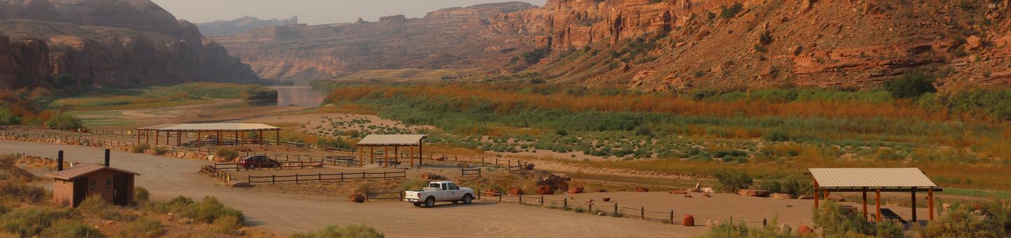
There is no drinking water or electricity hook ups.
Researching this campground? Ask anything — other campers and our team will weigh in. No visit required.
Short heads-ups about the road in, gear quirks, and timing, compiled by Outdoorithm from public reviews and operator information.
Rate Courthouse Rock Campground
Been here? Tap a star to start. Takes about a minute.
Sign-in required only if you want your name on it.

Pulled from per-site mentions in 50 reviews.
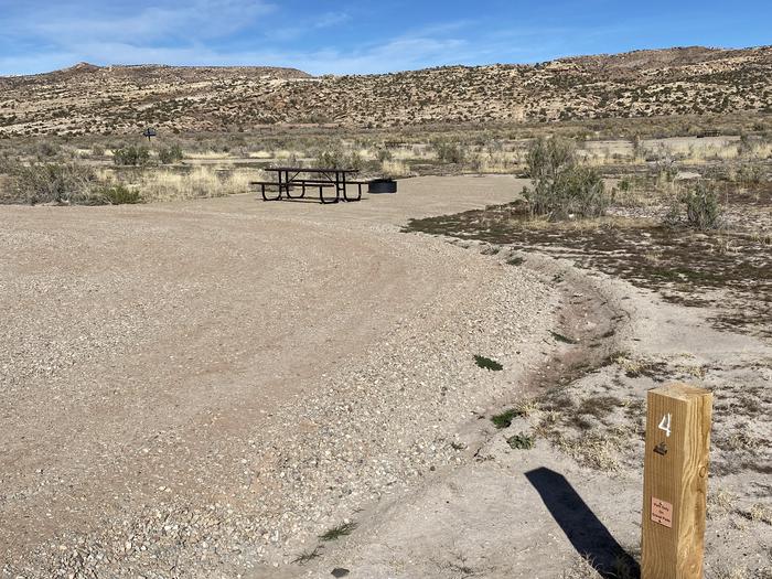
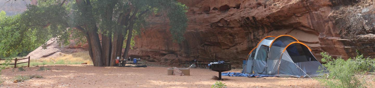
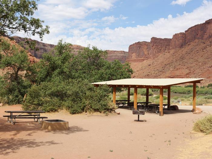
Campsite 4 was described as "very nice" with "beautiful scenery" (Review by MAYCEE K, May 2023).
Campsite 6 received a review mentioning the vault toilets: "The bathroom was dirty, so bad it couldn’t be used, during our stay." (Review by BRAD P).
Be the first to review this campground
Every adventure creates another. Share what you learned so the next camper feels a little more prepared heading out.