Go if
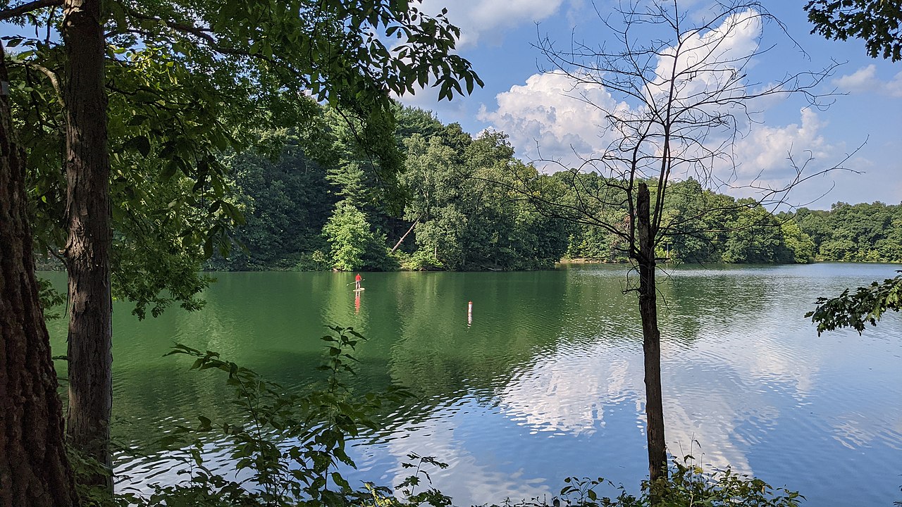
Tent campers who want lake access without RV-park density: the primitive sites sit inside 17,000 acres, the beach is reserved for registered campers, and gem mining keeps kids busy at check-in. Book six months out for summer weekends.
 4.5641 reviews
Price
Varies
Booking
Reservable
Sites
Varies
Season
"Open with limitatio...
Cell
No Service
Pets
Pets Allowed
Price
Varies
Booking
Reservable
Sites
Varies
Season
"Open with limitatio...
Cell
No Service
Pets
Pets Allowed
We'll monitor this campground and alert you the moment sites become available.
Free to start · Premium adds 2-min scans
263,000+ sites monitored · Email alerts to start; SMS and in-app with an account
Learn more about alerts →Salt Fork Primitive Campground
40.1072, -81.4962
We'll monitor this campground and alert you the moment sites become available.
Free to start · Premium adds 2-min scans
263,000+ sites monitored · Email alerts to start; SMS and in-app with an account
Learn more about alerts →Tent campers who want lake access without RV-park density: the primitive sites sit inside 17,000 acres, the beach is reserved for registered campers, and gem mining keeps kids busy at check-in. Book six months out for summer weekends.
Shade-seekers and mud-averse campers should note that some primitive sites are exposed and the crushed asphalt surface tracks dirt when wet. No wifi, spotty cell service, and no water at full-hookup sites December through April.
Context for the broader area surrounding Salt Fork Primitive Campground, sourced from the federal Recreation.gov rec-area record.
Salamonie Lake: was derived from the Indian word "O-sah-mo-nee" which means "yellow paint." The Indians made yellow dye and paint from the bloodroot that grew abundantly along the banks of the stream.
From Wabash, south on IN 15, east on IN 124, north on IN 105 to Lost Bridge recreation sites.
Salt Fork Primitive Campground appears in our curated guides. Explore more top-rated campgrounds for the same activities and regions.

Availability, what to pack, similar spots — ask anything and get an instant answer.
Salt Fork Primitive Campground welcomes adventurous campers year-round, though your experience will vary with the seasons. From December 8 through April 1, the park scales back to a quieter, more intimate operation—only Loop A and Bridle Camp remain open, and full-hookup sites operate without water connections (with reduced fees to match). Summer brings the full campground to life, but savvy campers know that shoulder seasons offer their own rewards: fewer crowds, crisp air, and the kind of peaceful mornings that make you never want to leave. Just remember, reservations are required no matter when you visit.
Beach, boating, docks, playgrounds and family activities make summer a peak season.
Weather data by Open-Meteo.com, licensed under CC BY 4.0, processed by Outdoorithm.
Reservation tips, booking windows, and free cancellation alerts.
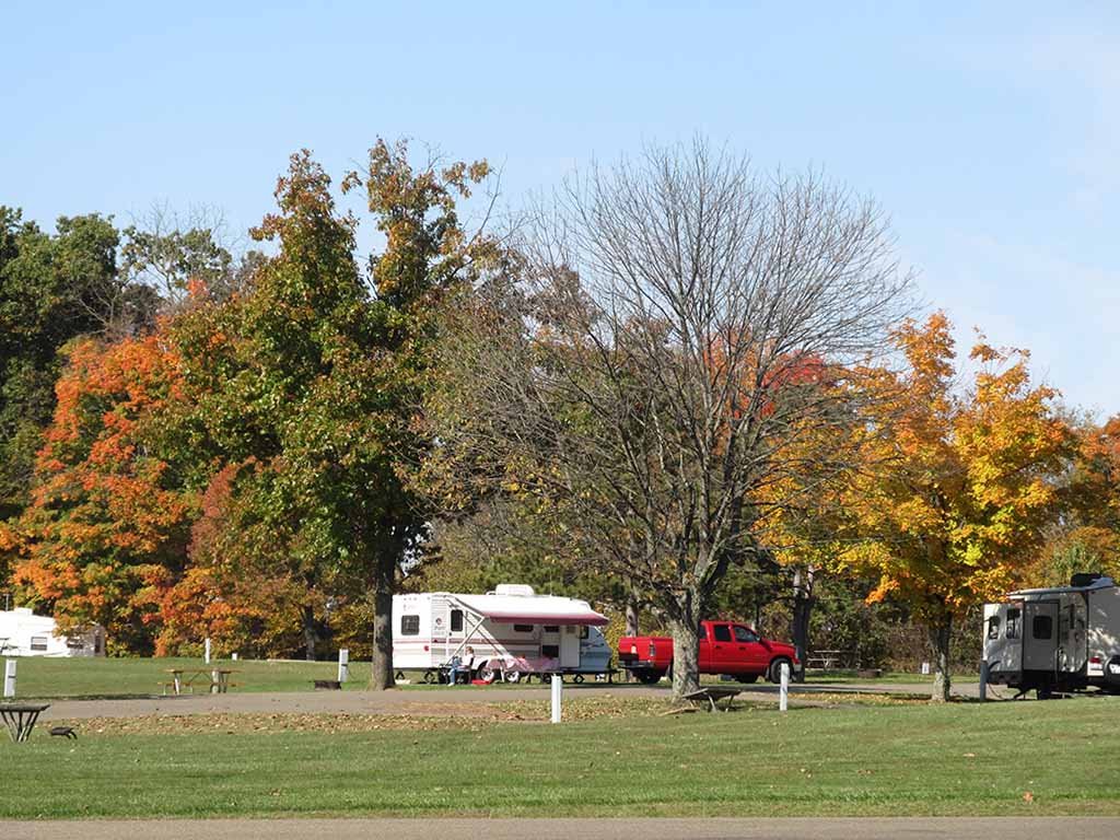
Heated shower houses, flush toilets, a dump station, a camp store, picnic tables and fire rings at sites; full-hookup and 50-amp electric sites are available. Registered campers have access to a separate beach, boat launch and 60 docks.
Researching this campground? Ask anything — other campers and our team will weigh in. No visit required.
Short heads-ups about the road in, gear quirks, and timing, compiled by Outdoorithm from public reviews and operator information.
Rate Salt Fork Primitive Campground
Been here? Tap a star to start. Takes about a minute.
Sign-in required only if you want your name on it.

Be the first to review this campground
Every adventure creates another. Share what you learned so the next camper feels a little more prepared heading out.