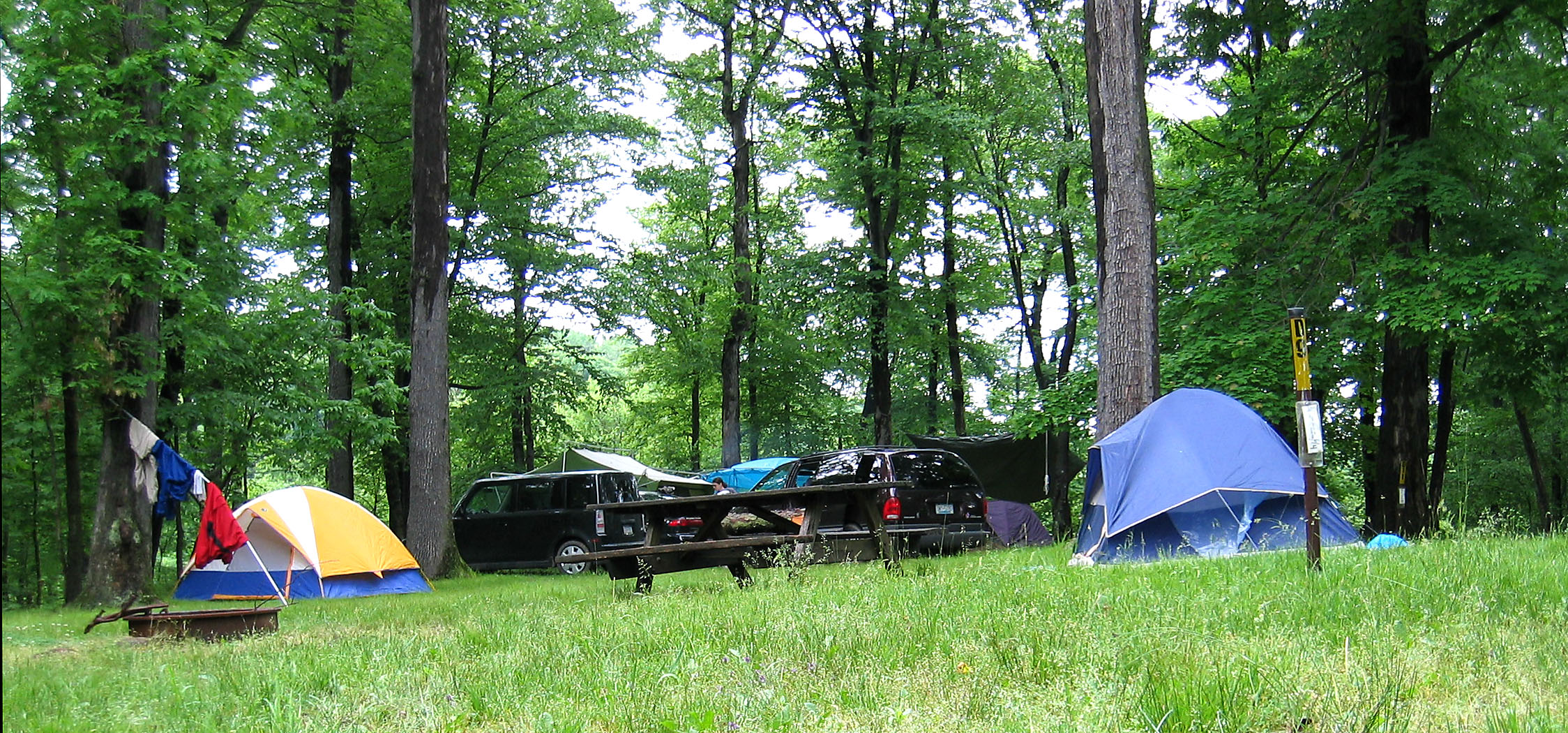
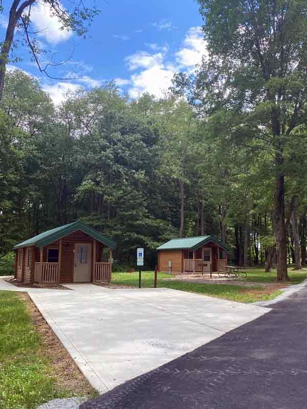
Jefferson Lake Campground sits in a small, quiet state park in eastern Ohio where horseback riders and anglers share 18 miles of wooded trails around a no-wake reservoir. The park offers a mix of primitive sites and just five electric pads (sites 25, 27, 29, 31, and 32), plus a separate equestrian camp with hitching posts and trailer parking. Campers consistently praise the clean restrooms and peaceful atmosphere, but the lake itself has recurring blue-green algae issues that often make swimming impossible.
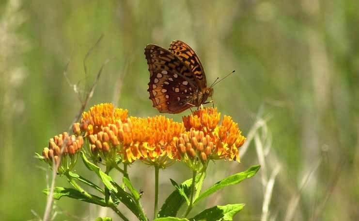
Weather and SeasonsSpring is the sweet spot here. Daytime highs run 50–70°F, nights 35–50°F, and the trails firm up enough for horses and hikers without the summer humidity or bug pressure. Wildflowers bloom along the shoreline and the canopy leafs out by mid-May. Early October also draws campers for mild temps and low crowds, though fall can be muddy after rain. Summer offers warm weather for paddling and fishing but coincides with algae blooms and heavier mosquito activity. Winter use is rare; the park sees very few visitors once the leaves drop. Expect spotty cell service year-round, so don't plan to rely on your phone for navigation or weather updates.
Weather data by Open-Meteo.com, licensed under CC BY 4.0, processed by Outdoorithm.
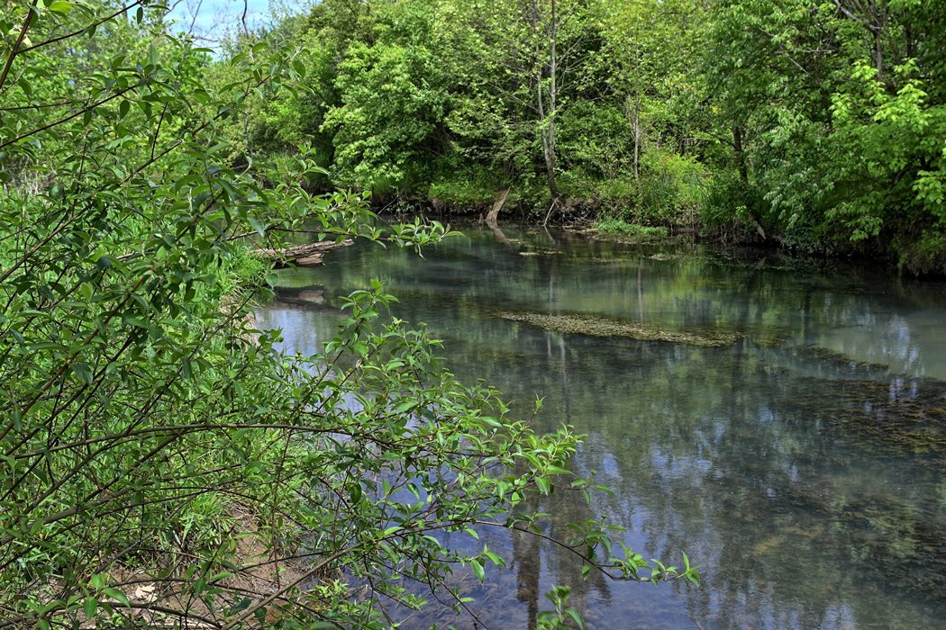
Natural Features and SceneryThe campground sits at 1,299 feet along the shore of Jefferson Lake, a small no-wake reservoir rimmed by towering oaks and mixed hardwoods. Gently rolling hills create a secluded feel, and the shoreline trails wind through thick forest with frequent water views and quiet coves. Sites are split between wooded pads under the canopy and more open, grassy areas where sunlight filters through. The lake supports decent fishing for bluegill and catfish, and the stillness attracts herons, wood ducks, and songbirds most mornings. Unfortunately, the beach has been reclaimed by wildlife and the water often shows blue-green algae, so the scenery is better enjoyed from a kayak or the trail than by wading in.
 4.00
4.00