Go if
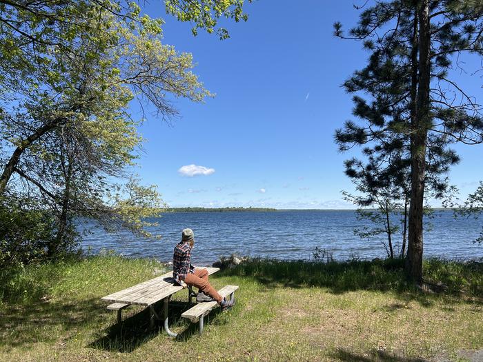
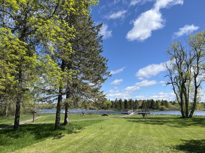
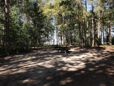
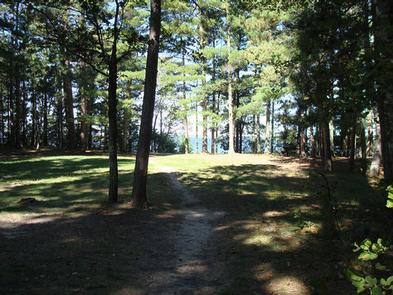
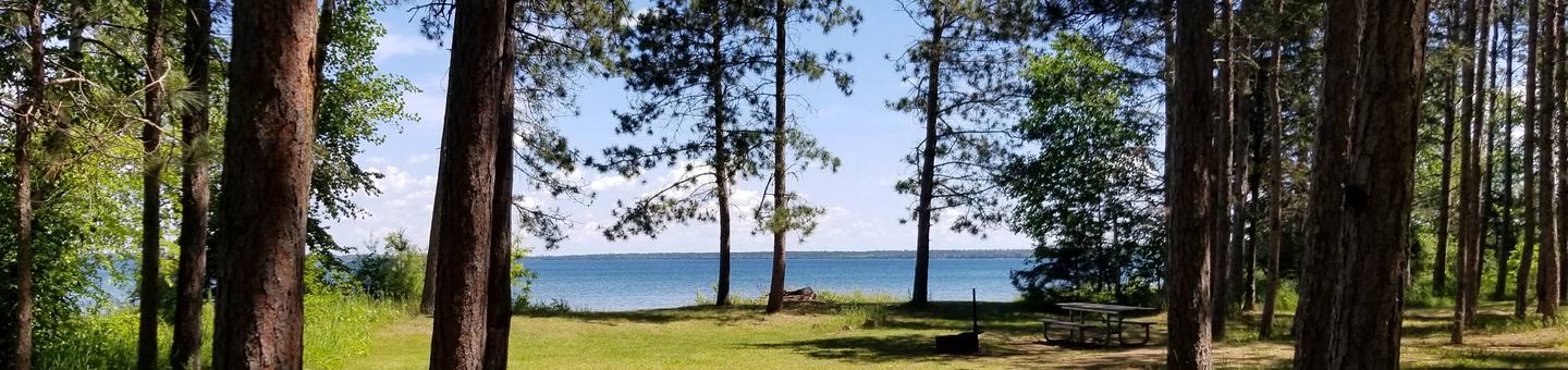
Groups who want genuine north woods seclusion near a sandy lakeshore. The forest setting delivers real wildlife encounters and 3 miles of hiking, and summer evenings with loons calling across the water are hard to beat.
 03 reviews
Price
Varies
Booking
Reservable
Sites
Varies
Season
Year-round
Cell
No Service
Pets
No Pets
Price
Varies
Booking
Reservable
Sites
Varies
Season
Year-round
Cell
No Service
Pets
No Pets
We'll monitor this campground and alert you the moment sites become available.
Free to start · Premium adds 2-min scans
263,000+ sites monitored · Email alerts to start; SMS and in-app with an account
Learn more about alerts →Group Camp Basic- Bass Creek
47.5326, -94.8224
We'll monitor this campground and alert you the moment sites become available.
Free to start · Premium adds 2-min scans
263,000+ sites monitored · Email alerts to start; SMS and in-app with an account
Learn more about alerts →Groups who want genuine north woods seclusion near a sandy lakeshore. The forest setting delivers real wildlife encounters and 3 miles of hiking, and summer evenings with loons calling across the water are hard to beat.
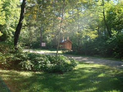
No showers, no flush toilets, no potable water, no electric. Families or groups that need basic infrastructure will find this camp stripped down past the point of comfort, and June-July bug pressure is genuinely heavy.
Context for the broader area surrounding Group Camp Basic- Bass Creek, sourced from the federal Recreation.gov rec-area record.
<A HREF="http://www.usbr.gov/projects/Facility.jsp?fac_Name=Cheney+Dam">Cheney Dam</a> and Reservoir, features of the <A HREF="http://www.usbr.gov/projects/Project.jsp?proj_Name=Wichita+Project">Wichita Project</a>, are on the North Fork of the Ninnescah River about 6 miles north of Cheney and 24 miles west of Wichita, Kansas. The site is at the common intersection of the boundaries of Kingman, Reno, and Sedgwick counties with portions of the dam lying in all three. Nearest main highway, U.S. 54. Nearest major city, Wichita. The lake has approximately 9,500 water surface acres, 7,400 land acres and 67 miles of shoreline. Accessible from numerous roads. Several boat ramps, camping facilities. Predominate species include crappie, catfish, and striped bass. <A HREF="http://www.usbr.gov/gp-bin/arcweb_cheney.pl">Current Reservoir Levels</a>
From Wichita, take U.S.Highway 54 west to 251 north.
Group Camp Basic- Bass Creek appears in our curated guides. Explore more top-rated campgrounds for the same activities and regions.

Availability, what to pack, similar spots — ask anything and get an instant answer.
Summer is the best time to visit for warm, long days and full access to lakeshore hiking and wildlife viewing. Expect daytime highs typically in the mid-60s to mid-80s°F (18–29°C) and cool evenings in the 50s–60s°F (10–18°C). Loons, songbirds and a wide range of mammals are most active and obvious, and trails are fully snow-free for group hikes; mornings and evenings offer the best wildlife sightings. Mosquitoes, black flies and gnats peak in June and July. Pack strong insect repellent and consider a hooded jacket. The bugs are as much a part of the north woods summer as the pine-scented air.
Forested lakeshore likely strong for fall colors and wildlife, though not explicitly detailed.
Weather data by Open-Meteo.com, licensed under CC BY 4.0, processed by Outdoorithm.
Reservation tips, booking windows, and free cancellation alerts.
Visitor reports mention food lockers, availability of firewood, and campfires. A ranger station and bathrooms are referenced in visitor notes about the park; heated cabins are mentioned in broader park notes but not specifically tied to this group camp in the available sources.
Researching this campground? Ask anything — other campers and our team will weigh in. No visit required.
Short heads-ups about the road in, gear quirks, and timing, compiled by Outdoorithm from public reviews and operator information.
Rate Group Camp Basic- Bass Creek
Been here? Tap a star to start. Takes about a minute.
Sign-in required only if you want your name on it.

Be the first to review this campground
Every adventure creates another. Share what you learned so the next camper feels a little more prepared heading out.