Go if
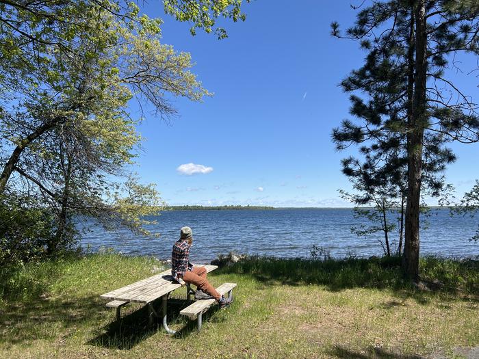
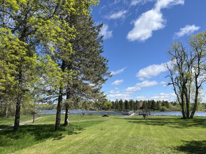
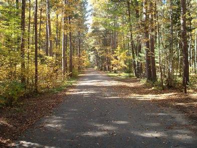
Families who want a real lake vacation without pitching a tent. The sandy swim beach, accessible fishing pier, and Bog Walk boardwalk cover multiple age groups, and the Paul Bunyan State Trail connection keeps older kids busy on bikes.
 4.50112 reviews
Price
Varies
Booking
Reservable
Sites
Varies
Season
Year-round
Cell
No Service
Pets
No Pets
Price
Varies
Booking
Reservable
Sites
Varies
Season
Year-round
Cell
No Service
Pets
No Pets
We'll monitor this campground and alert you the moment sites become available.
Free to start · Premium adds 2-min scans
263,000+ sites monitored · Email alerts to start; SMS and in-app with an account
Learn more about alerts →Camper Cabins
47.5352, -94.8268
We'll monitor this campground and alert you the moment sites become available.
Free to start · Premium adds 2-min scans
263,000+ sites monitored · Email alerts to start; SMS and in-app with an account
Learn more about alerts →Families who want a real lake vacation without pitching a tent. The sandy swim beach, accessible fishing pier, and Bog Walk boardwalk cover multiple age groups, and the Paul Bunyan State Trail connection keeps older kids busy on bikes.
No pets allowed, full stop. Also, remote workers hoping the city proximity means usable signal should verify coverage first; reports on carrier-specific reception at the cabins are thin and wifi isn't available on-site.
Reference information about Camper Cabins compiled from official sources. Every claim links to its source. View official page →
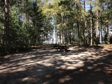
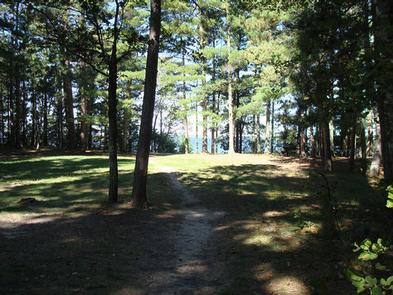
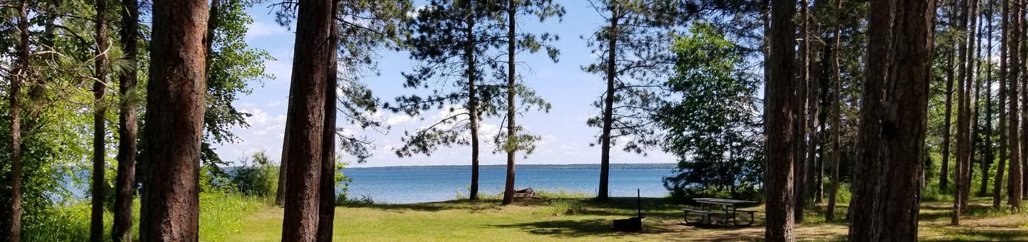
Lake Bemidji State Park offers four camper cabins nestled in trees, each with a private outdoor area that includes a deck, fire ring, and picnic table. Tamarack and Maple cabins are accessible and sleep five guests, while Balsam and Spruce cabins sleep six. All cabins feature electricity with baseboard heat, warm pine interiors, big windows, and built-in furnishings, making them suitable for year-round use including winter snowmobile and ski trips. The cabins are well-insulated for comfort in both summer and winter seasons.
Context for the broader area surrounding Camper Cabins, sourced from the federal Recreation.gov rec-area record.
<A HREF="http://www.usbr.gov/projects/Facility.jsp?fac_Name=Cheney+Dam">Cheney Dam</a> and Reservoir, features of the <A HREF="http://www.usbr.gov/projects/Project.jsp?proj_Name=Wichita+Project">Wichita Project</a>, are on the North Fork of the Ninnescah River about 6 miles north of Cheney and 24 miles west of Wichita, Kansas. The site is at the common intersection of the boundaries of Kingman, Reno, and Sedgwick counties with portions of the dam lying in all three. Nearest main highway, U.S. 54. Nearest major city, Wichita. The lake has approximately 9,500 water surface acres, 7,400 land acres and 67 miles of shoreline. Accessible from numerous roads. Several boat ramps, camping facilities. Predominate species include crappie, catfish, and striped bass. <A HREF="http://www.usbr.gov/gp-bin/arcweb_cheney.pl">Current Reservoir Levels</a>
From Wichita, take U.S.Highway 54 west to 251 north.
Camper Cabins appears in our curated guides. Explore more top-rated campgrounds for the same activities and regions.

Availability, what to pack, similar spots — ask anything and get an instant answer.
Every season paints Lake Bemidji in a new light. Summer brings warm days perfect for beach lounging, paddling, and campfire evenings, while spring transforms the bog into a wildflower showcase with orchids emerging from the wetlands. Autumn sets the tamarack and hardwoods ablaze with gold and crimson, and winter blankets the park in snow, opening up groomed ski trails, snowshoe routes, and excellent ice fishing. Just pack extra layers and waterproof boots during spring and fall—those shoulder seasons can turn trails delightfully muddy.
Peak season for beach, boating, paddling and trails; park is most heavily used in summer.
Weather data by Open-Meteo.com, licensed under CC BY 4.0, processed by Outdoorithm.
Reservation tips, booking windows, and free cancellation alerts.
Lake Bemidji State Park’s main campground (near the camper cabins) offers modern restroom and shower buildings, potable water, picnic areas at the beach and campground, electric sites, and a dump/water station near the park entrance. The beach area includes a restroom with flush toilets and an outdoor shower.
Researching this campground? Ask anything — other campers and our team will weigh in. No visit required.
Short heads-ups about the road in, gear quirks, and timing, compiled by Outdoorithm from public reviews and operator information.
Rate Camper Cabins
Been here? Tap a star to start. Takes about a minute.
Sign-in required only if you want your name on it.

Be the first to review this campground
Every adventure creates another. Share what you learned so the next camper feels a little more prepared heading out.