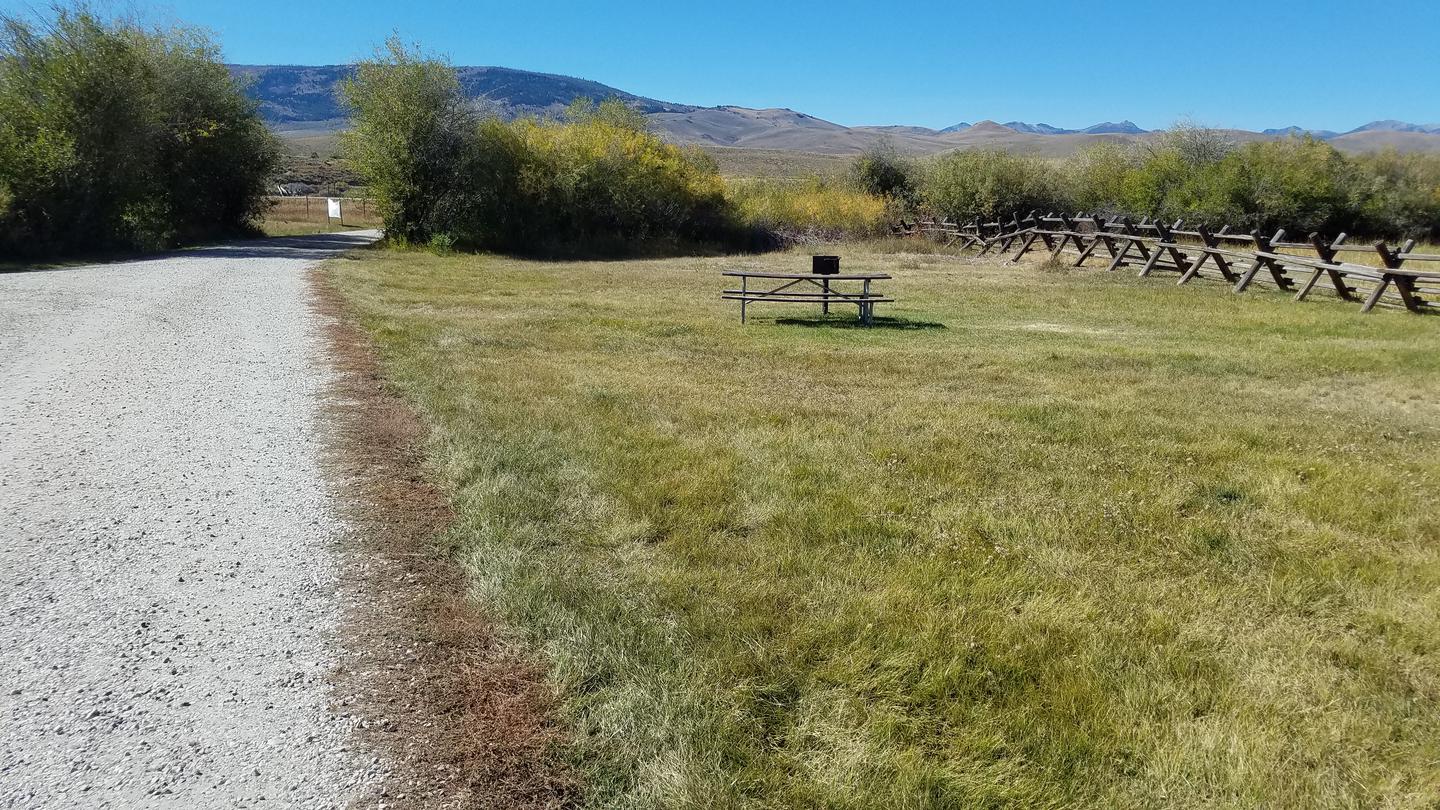
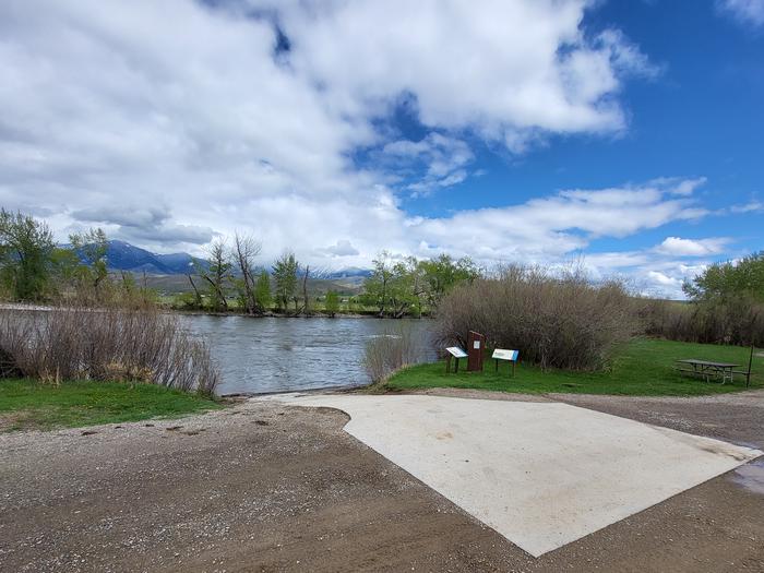
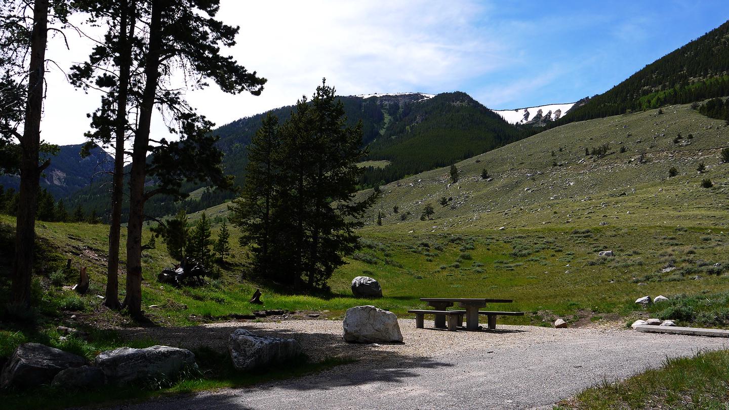
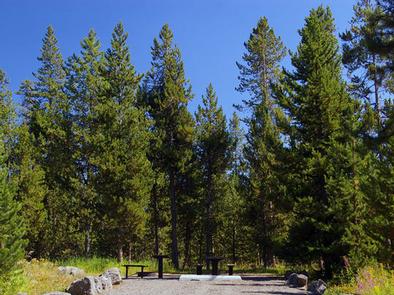
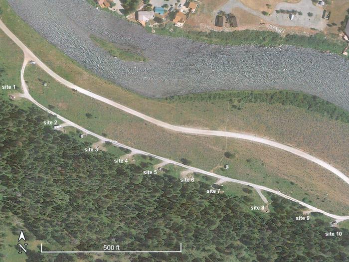
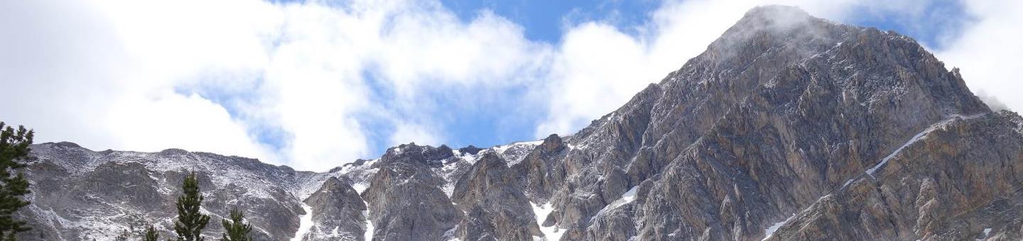
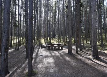
McFarland Campground sits along the Lemhi River at 5,374 feet, a small 10-site spot where the Beaverhead Mountains rise to the east and the Lemhi Range looms west. The river runs through riparian corridor in otherwise arid terrain. Access is best in summer.
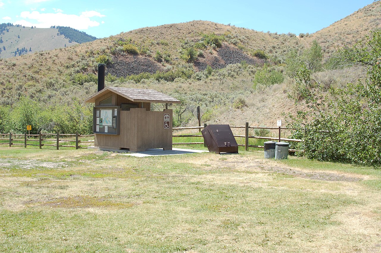
The site contains 10 campsites on the Lemhi River; the specific camping types (tent, RV, primitive, group, cabins, glamping) are not specified in the source.
Weather and SeasonsBest season: summer. Summer offers the most reliable access, warm days, and the peak trout-fishing window on the Lemhi River — expect daytime highs in the mid-60s to mid-80s°F and cool nights in the 40s–50s. Low snowpack and dry roads make the campground easy to reach and the river more fishable in early morning and evening, while riparian shade keeps campsites comfortable. Because McFarland is a small, 10-site campground, crowds stay moderate even in summer, but reserve weekends and be aware of seasonal fire and OH
Peak months: July, August, June, September
Avoid: December, January, February
Elevation5374 ft above sea level
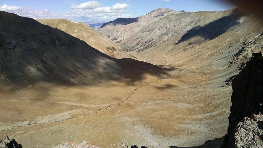
Natural Features and SceneryThe campground occupies a narrow green corridor along the Lemhi River, a riparian strip that breaks the dry sagebrush character of the Lemhi Valley floor. Cold water and cottonwood shade define the immediate camp zone. Beyond the river, the valley opens wide, framed by the Beaverhead Mountains on the eastern skyline and the Lemhi Range to the west. The elevation sits just above 5,300 feet, putting the site in the transition zone where high desert meets montane forest. Roads from camp lead into the surrounding Salmon National Forest.
 0
0