Go if
You want affordable lakeside camping with fishing and boating access in a quiet Northwoods setting.
Price
$15/night
Booking
Reservable
Sites
12 campsites
Season
Open May 22 - Sept 0...
Cell
Unknown
Pets
Check Policy
Price
$15/night
Booking
Reservable
Sites
12 campsites
Season
Open May 22 - Sept 0...
Cell
Unknown
Pets
Check Policy
We'll monitor this campground and alert you the moment sites become available.
Free to start · paid plans add 2-min scans
263,000+ sites monitored · Email alerts to start; SMS and in-app with an account
Learn more about alerts →Laurel Lake Campground
USDA Forest Service, 1247 E. Wall St., Eagle River, WI, 54521, USA
We'll monitor this campground and alert you the moment sites become available.
Free to start · paid plans add 2-min scans
263,000+ sites monitored · Email alerts to start; SMS and in-app with an account
Learn more about alerts →You want affordable lakeside camping with fishing and boating access in a quiet Northwoods setting.
You need electrical hookups, flush toilets, or guaranteed clean facilities during busy weekends.
Context for the broader area surrounding Laurel Lake Campground, sourced from the federal Recreation.gov rec-area record.
<p style="text-align: center;"><a href="http://www.fs.usda.gov/detail/cnnf/?cid=STELPRD3791205"><img alt="Campsite photo with a camper and chairs set up." src="http://www.fs.usda.gov/Internet/FSE_MEDIA/fseprd628634.png" style="width: 518px; height: 291px;"/></a></p> <table align="center" border="0" cellpadding="0" cellspacing="0" style="width:500px;"> <tbody> <tr> <td><a href="https://www.fs.usda.gov/activity/cnnf/recreation/camping-cabins"><img alt="Camping button with an illustration of a tent." src="http://www.fs.usda.gov/Internet/FSE_MEDIA/fseprd576367.png" style="width: 125px; height: 125px;"/></a></td> <td><a href="https://www.fs.usda.gov/activity/cnnf/recreation/hiking"><img alt="Explore trails are found across the forest. Click to check conditions." src="http://www.fs.usda.gov/Internet/FSE_MEDIA/fseprd576370.png" style="width: 125px; height: 125px;"/></a></td> <td><a href="http://www.fs.usda.gov/detail/cnnf/?cid=STELPRDB5110152"><img alt="Button with an illustration of a map for maps and publications." src="http://www.fs.usda.gov/Internet/FSE_MEDIA/fseprd576371.png" style="width: 125px; height: 125px;"/></a></td> <td><a href="http://www.fs.usda.gov/detail/cnnf/?cid=STELPRDB5130790"><img alt="Button with an illustration of a pass for the passes and permits page." src="http://www.fs.usda.gov/Internet/FSE_MEDIA/fseprd576372.png" style="width: 125px; height: 125px;"/></a></td> </tr> </tbody> </table> <p>Unplug and reconnect to the largest expanse of public lands under one ownership in northern Wisconsin. Explore the more than 1.5 million acres of water and woodlands year- round motorized trail riding, water and land-based sports and the solitude of quiet campgrounds. </p> <h3>Top Spring Recreation Areas</h3> <table align="left" border="0" cellpadding="0" cellspacing="0" style="width:500px;"> <tbody> <tr> <td> <ul> <li><a href="https://www.fs.usda.gov/recarea/cnnf/recarea/?recid=27959">Ed's Lake Trail</a></li> <li><a href="https://www.fs.usda.gov/recarea/cnnf/recarea/?recid=27853">Valhalla Recreation Area</a></li> <li><a href="https://www.fs.usda.gov/recarea/cnnf/recarea/?recid=27827">Wintergreen Trail</a></li> </ul> </td> <td> <ul> <li><a href="https://www.fs.usda.gov/recarea/cnnf/recarea/?recid=27759">Rock Lake Trail</a></li> <li><a href="https://www.fs.usda.gov/recarea/cnnf/recarea/?recid=27751">Mukwonago Trail</a></li> <li><a href="https://www.fs.usda.gov/recarea/cnnf/recarea/?recid=27859">Anvil Lake Recreation Area</a></li> </ul> </td> </tr> </tbody> </table> <p> </p> <p> </p> <p> </p> <p>To view recreation features on the map below ...</p> <p>Zoom in on the map to the area that you want to visit and then select the specific site you want to visit such as a campground, cross-country ski area, etc. Once selected, you can click on the individual sites recreation page to learn more about that area.</p> <p><a href="http://www.fs.usda.gov/detail/cnnf/?cid=FSEPRD640106">2019 Recreation Fee Proposal</a></p>
Laurel Lake Campground appears in our curated guides. Explore more top-rated campgrounds for the same activities and regions.
Availability, what to pack, similar spots — ask anything and get an instant answer.
Best season: summer. Summer offers the warmest, most reliable weather for swimming, boating and launching onto the Three Lakes/Eagle River chain — daytime highs commonly in the mid-70s to low-80s°F with nights in the 50s. Water-based activities are at their peak (calmer water, longer daylight), campsites are fully open and reservable, and most services and boat ramps are staffed. Expect higher weekend crowds and reservation demand from late June through early August, with quieter midweek opportunities for fishing. Peak months: July, August, June Avoid: November, December, January, February
Best season per summary—warm weather for boating, fishing, and swimming from boats; peak use in summer.
Reservation tips, booking windows, and free cancellation alerts.
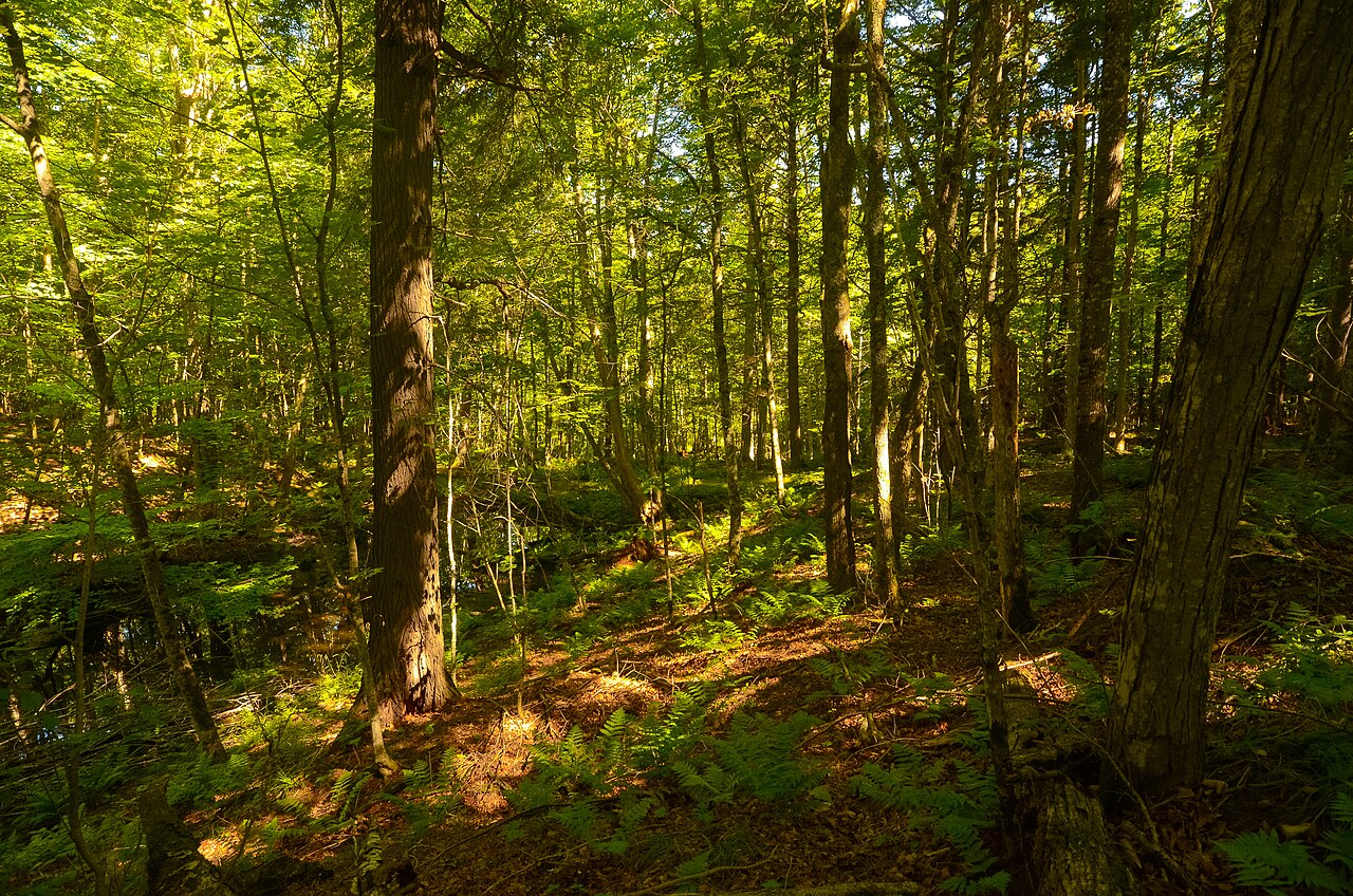
Laurel Lake Campground provides basic amenities in a serene, natural setting. The campground features a boat landing, vault toilets, potable water from a hand pump, picnic tables, fire rings with grills, and tent pads. Vault toilets are clean and functional, but some user reviews note that maintenance could be improved. Drinking water is available; however, users have reported that the water is tannin-stained and may be better replaced with bottled water. The sites are well-organized and offer a quiet atmosphere.
Researching this campground? Ask anything — other campers and our team will weigh in. No visit required.
Short heads-ups about the road in, gear quirks, timing, and more. You don't have to have been here to share what you know.
Rate Laurel Lake Campground
Been here? Tap a star to start. Takes about a minute.
Sign-in required only if you want your name on it.
Be the first to review this campground
Every adventure creates another. Share what you learned so the next camper feels a little more prepared heading out.