Go if
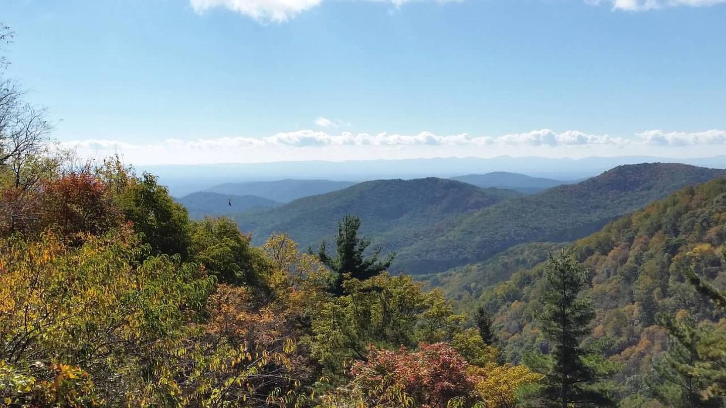
Backpackers who want a legal, permitted base camp on the Blue Ridge Parkway for peak October color. The Boone Fork Trail (4.9 miles, strenuous) and Price Lake paddling are both within reach, and nights in the 30s–40s thin the crowds fast.
 00 review
Price
$15/night
Booking
Check Site
Sites
2 campsites
Season
Year-round
Cell
No Service
Pets
Check Policy
Price
$15/night
Booking
Check Site
Sites
2 campsites
Season
Year-round
Cell
No Service
Pets
Check Policy
We'll monitor this campground and alert you the moment sites become available.
Free to start · paid plans add 2-min scans
256,000+ sites monitored · Email alerts to start; SMS and in-app with an account
Learn more about alerts →Johns River Road Backcountry Camping
36.1503, -81.7332
We'll monitor this campground and alert you the moment sites become available.
Free to start · paid plans add 2-min scans
256,000+ sites monitored · Email alerts to start; SMS and in-app with an account
Learn more about alerts →Backpackers who want a legal, permitted base camp on the Blue Ridge Parkway for peak October color. The Boone Fork Trail (4.9 miles, strenuous) and Price Lake paddling are both within reach, and nights in the 30s–40s thin the crowds fast.
No toilets, no water, no cell signal, and active bear activity mean this isn't a casual first-time backcountry spot. Also worth knowing: a handful of past visitors who weren't part of the local cultural mainstream reported experiences that made them feel unwelcome, something to w
Context for the broader area surrounding Johns River Road Backcountry Camping, sourced from the federal Recreation.gov rec-area record.
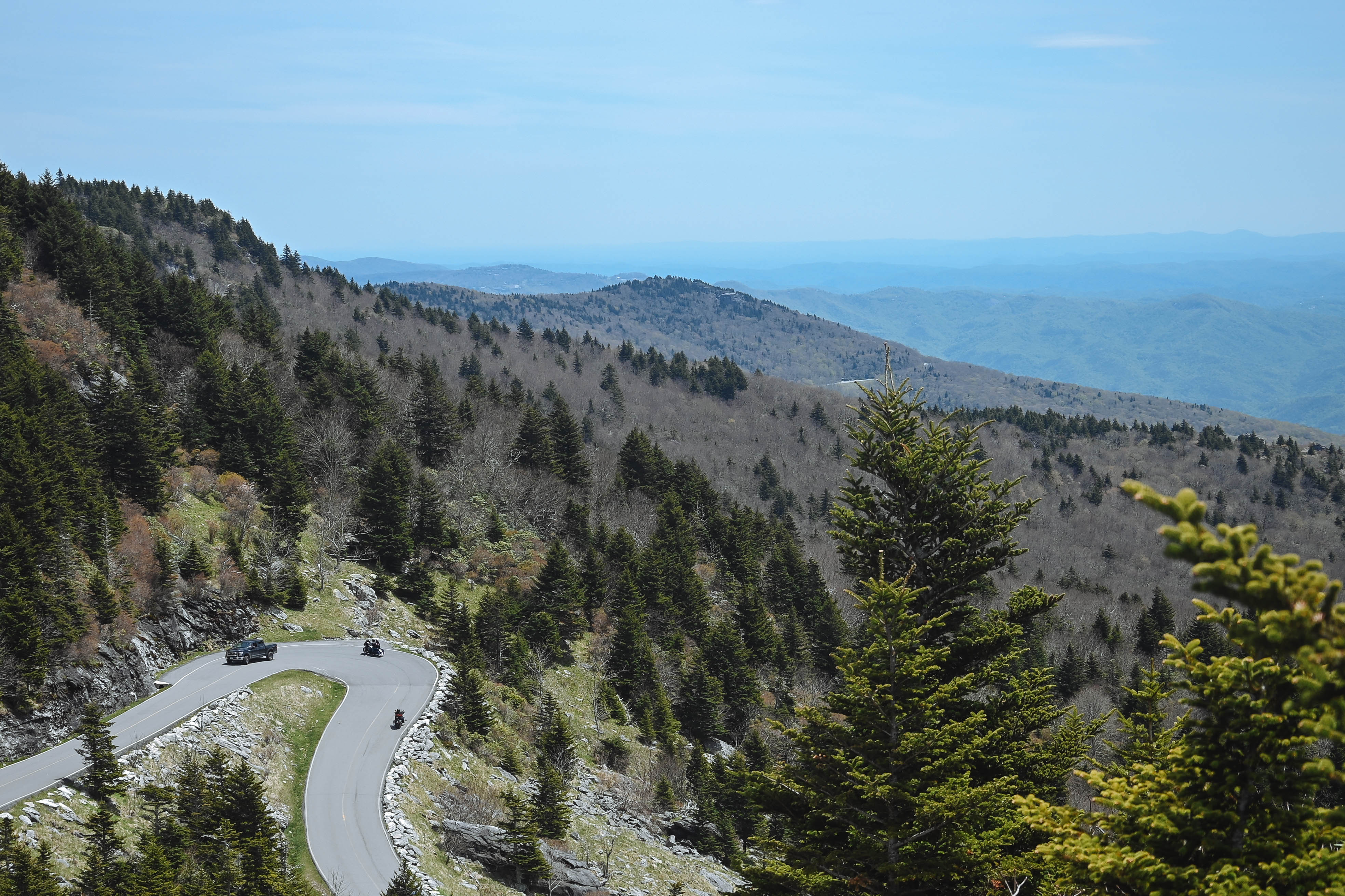
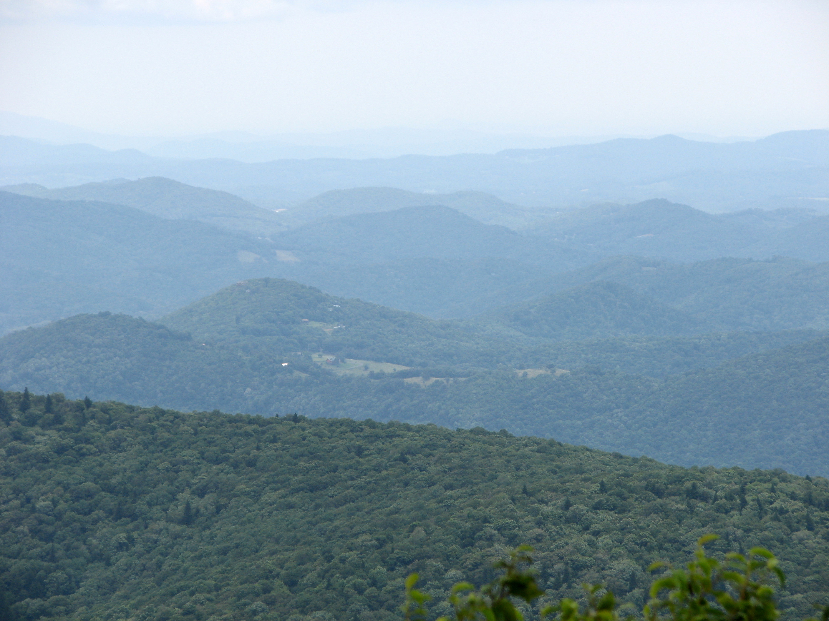
A Blue Ridge Parkway experience is unlike any other: a slow-paced and relaxing drive revealing stunning long-range vistas and close-up views of the rugged mountains and pastoral landscapes of the Appalachian Highlands. The Parkway meanders for 469 miles, protecting a diversity of plants and animals, and providing opportunities for enjoying all that makes this region of the country so special.
The parkway is a 469-mile-long scenic road connecting Shenandoah National Park in Virginia to Great Smoky Mountains National Park in North Carolina. Numerous federal and state highways provide access to the parkway. Milepost markers are positioned every mile along the parkway, starting at 0 in Virginia and ending at 469 in North Carolina. We suggest using a map to identify the area you want to visit, as GPS directions often do not incorporate the parkway's milepost system.

Availability, what to pack, similar spots — ask anything and get an instant answer.
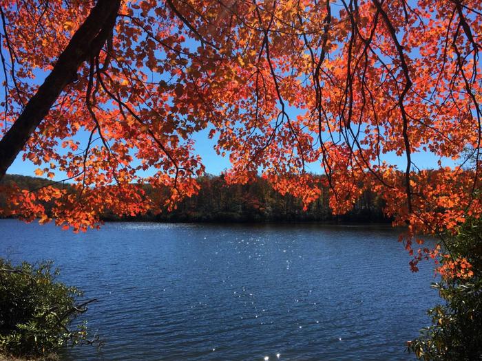
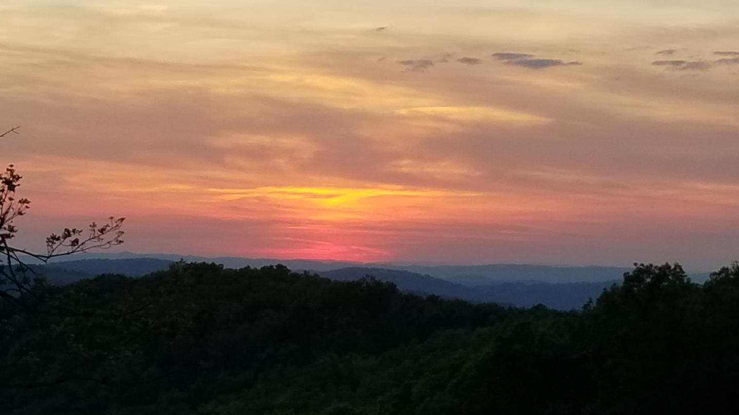
Best season: fall. Fall offers the best combination of cooler daytime hiking temperatures (generally 50-65°F at this 3,379 ft elevation) and peak foliage on the Blue Ridge Parkway — mid- to late October is typically the color high point near Blowing Rock. Trails are dry and clear for multi-mile outings on the Mountains to Sea Trail and Boone Fork Trail, fishing is productive as trout move into cooler pools, and crowds are moderate compared with summer Parkway traffic. Expect chilly nights (30s–40s°F), crisp air, a Peak months: October, September, May, June Avoid: December, January, February
Listed 'best season: fall' with peak foliage on the Blue Ridge Parkway (mid–late Oct.).
No toilets are available. All human waste must be buried a minimum of 6 inches deep and a minimum of 100 feet from any stream. All trash must be packed out. Water should be purified before consumption.
Researching this campground? Ask anything — other campers and our team will weigh in. No visit required.
Short heads-ups about the road in, gear quirks, timing, and more. You don't have to have been here to share what you know.
Rate Johns River Road Backcountry Camping
Been here? Tap a star to start. Takes about a minute.
Sign-in required only if you want your name on it.

No review summaries available for this campground yet.
Check back later as we continuously analyze new reviews.
Be the first to review this campground
Every adventure creates another. Share what you learned so the next camper feels a little more prepared heading out.