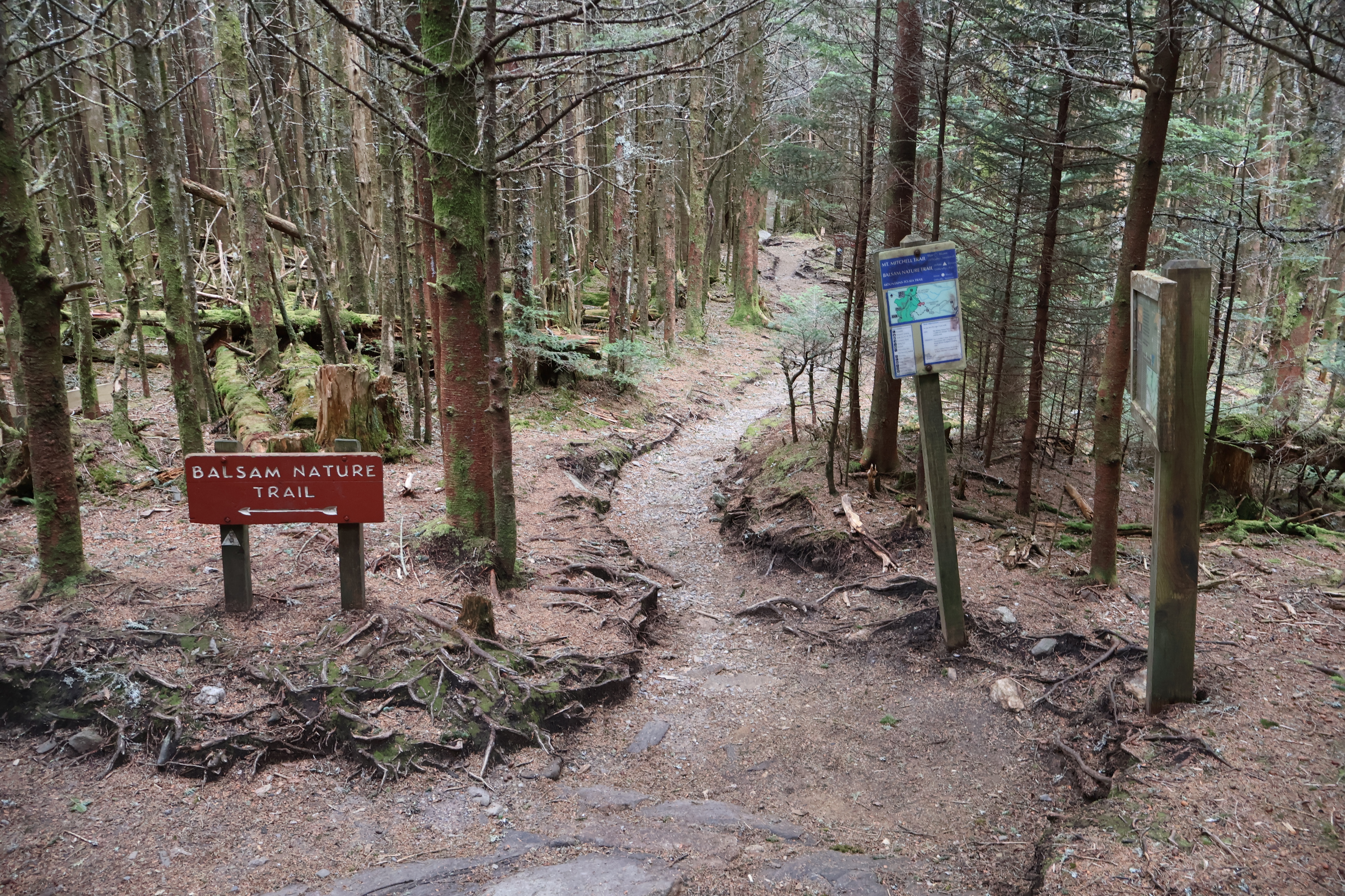
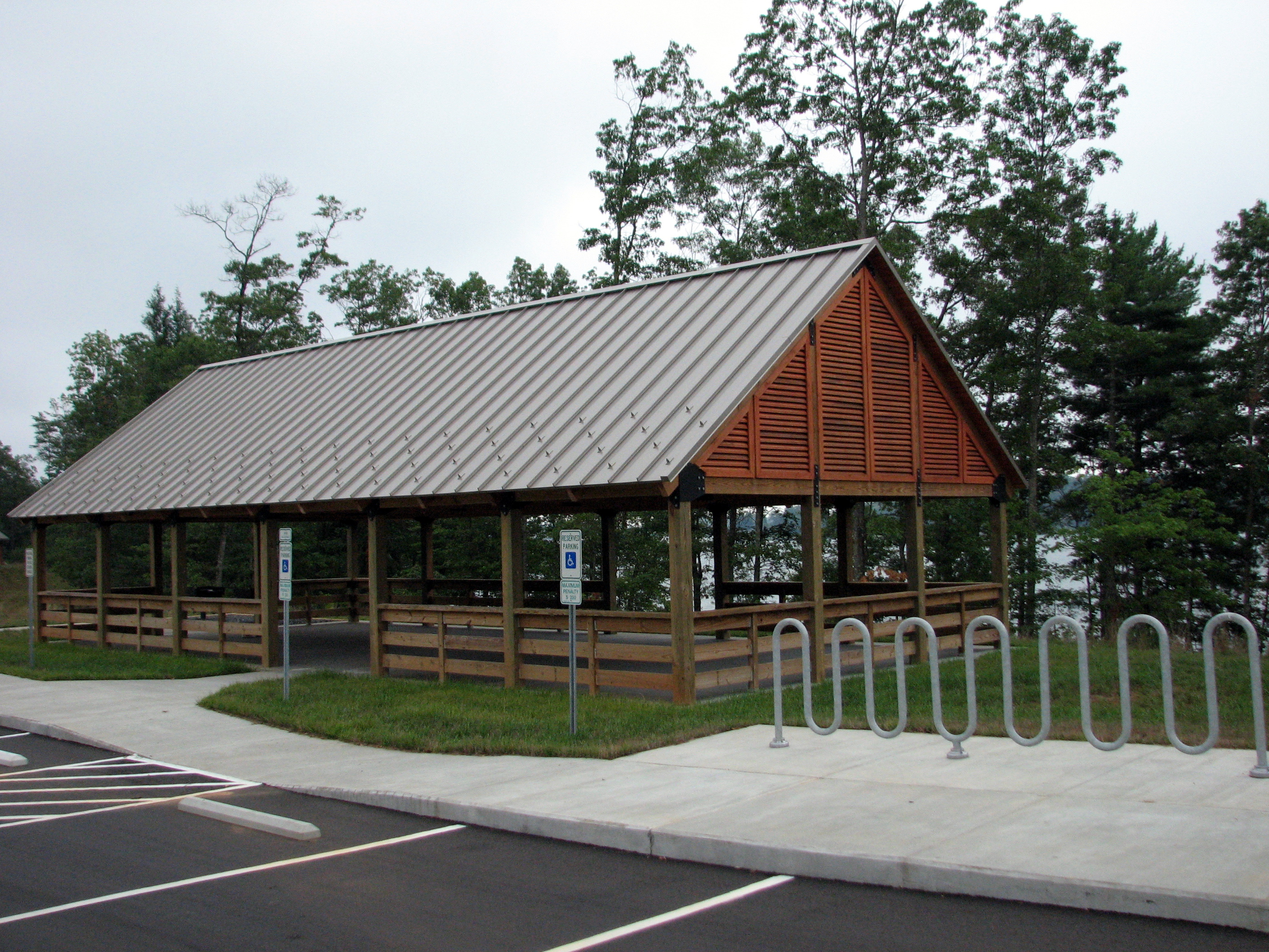
Crabtree Falls Campground
Quick Facts
3,747 ftPrice
$30/night
Booking
Reservable
Sites
81 campsites
Season
Open season is liste...
Cell
Unknown
Pets
Very Pet Friendly
Quick Facts
3,747 ftPrice
$30/night
Booking
Reservable
Sites
81 campsites
Season
Open season is liste...
Cell
Unknown
Pets
Very Pet Friendly
Get Notified When Available
We'll monitor this campground and alert you the moment sites become available.
Free to start · paid plans add 2-min scans
256,000+ sites monitored · Email alerts to start; SMS and in-app with an account
Learn more about alerts →Campground Map
Crabtree Falls Campground
Milepost 339.5 Blue Ridge Parkway
Weather at Crabtree Falls Campground
About Crabtree Falls Campground
RV details
Get Notified When Available
We'll monitor this campground and alert you the moment sites become available.
Free to start · paid plans add 2-min scans
256,000+ sites monitored · Email alerts to start; SMS and in-app with an account
Learn more about alerts →Camper Report Card
How campers graded it
Rated higher than 13% of graded campgrounds
Graded on what 84 campers actually wrote - graded on 14 things that make or break a trip. Each topic is graded against every other campground on it - A is among the best, C about average. No star ratings.
Strengths
- Grade A+.Getting there
- Grade A-.Booking
- Grade A-.Belonging
Watch-outs
- Grade D.Cleanliness
- Grade C-.Facilities
- Grade C-.Safety
Every grade - tap to see what campers said
Each topic is graded against every other campground on it; a topic campers liked never grades below C−. ± shows the 95% confidence range from the sample size.
About Blue Ridge Parkway
Context for the broader area surrounding Crabtree Falls Campground, sourced from the federal Recreation.gov rec-area record.
A Blue Ridge Parkway experience is unlike any other: a slow-paced and relaxing drive revealing stunning long-range vistas and close-up views of the rugged mountains and pastoral landscapes of the Appalachian Highlands. The Parkway meanders for 469 miles, protecting a diversity of plants and animals, and providing opportunities for enjoying all that makes this region of the country so special.
Directions
The parkway is a 469-mile-long scenic road connecting Shenandoah National Park in Virginia to Great Smoky Mountains National Park in North Carolina. Numerous federal and state highways provide access to the parkway. Milepost markers are positioned every mile along the parkway, starting at 0 in Virginia and ending at 469 in North Carolina. We suggest using a map to identify the area you want to visit, as GPS directions often do not incorporate the parkway's milepost system.
Explore related camping guides
Crabtree Falls Campground appears in our curated guides. Explore more top-rated campgrounds for the same activities and regions.