Go if
Backpackers targeting October foliage on the 10.8-mile Rock Castle Gorge loop, who want a shaded, spaced-out creekside site with a bear locker already in place. Trout fishers with a Virginia license have Rock Castle Creek right at camp.
 00 review
Price
$15/night
Booking
Check Site
Sites
8 campsites
Season
Year-round
Cell
Unknown
Pets
Check Policy
Price
$15/night
Booking
Check Site
Sites
8 campsites
Season
Year-round
Cell
Unknown
Pets
Check Policy
We'll monitor this campground and alert you the moment sites become available.
Free to start · paid plans add 2-min scans
256,000+ sites monitored · Email alerts to start; SMS and in-app with an account
Learn more about alerts →Rock Castle Gorge Backcountry Camping
36.8064, -80.3364
We'll monitor this campground and alert you the moment sites become available.
Free to start · paid plans add 2-min scans
256,000+ sites monitored · Email alerts to start; SMS and in-app with an account
Learn more about alerts →Backpackers targeting October foliage on the 10.8-mile Rock Castle Gorge loop, who want a shaded, spaced-out creekside site with a bear locker already in place. Trout fishers with a Virginia license have Rock Castle Creek right at camp.
No cell signal and no potable water on-site are firm realities here, anyone relying on their phone for navigation or safety, or unwilling to pack in all drinking water, will find this setup more stressful than scenic.
Camper Report Card
Rated higher than 53% of graded campgrounds
Graded on what 41 campers actually wrote - graded on 14 things that make or break a trip. Each topic is graded against every other campground on it - A is among the best, C about average. No star ratings.
Strengths
Watch-outs
Each topic is graded against every other campground on it; a topic campers liked never grades below C−. ± shows the 95% confidence range from the sample size.
Context for the broader area surrounding Rock Castle Gorge Backcountry Camping, sourced from the federal Recreation.gov rec-area record.
A Blue Ridge Parkway experience is unlike any other: a slow-paced and relaxing drive revealing stunning long-range vistas and close-up views of the rugged mountains and pastoral landscapes of the Appalachian Highlands. The Parkway meanders for 469 miles, protecting a diversity of plants and animals, and providing opportunities for enjoying all that makes this region of the country so special.
The parkway is a 469-mile-long scenic road connecting Shenandoah National Park in Virginia to Great Smoky Mountains National Park in North Carolina. Numerous federal and state highways provide access to the parkway. Milepost markers are positioned every mile along the parkway, starting at 0 in Virginia and ending at 469 in North Carolina. We suggest using a map to identify the area you want to visit, as GPS directions often do not incorporate the parkway's milepost system.
Rock Castle Gorge Backcountry Camping appears in our curated guides. Explore more top-rated campgrounds for the same activities and regions.

Availability, what to pack, similar spots — ask anything and get an instant answer.
Best season: fall. Fall offers the clearest benefit: peak leaf color, crisp low-humidity days, and excellent hiking and wildlife viewing. Expect daytime temperatures typically in the 50s–60s°F with nights dropping into the 30s–40s°F around October at this 1,867 ft elevation — ideal for long creekside hikes, photography, and trout fishing. Daytime crowds increase on Parkway weekends and mid-October, but the backcountry campground's eight secluded sites still feel remote compared with roadside campgrounds. Peak months: October, May, September, April
Overview lists fall as best season for peak leaf color, crisp days, and excellent hiking/viewing.
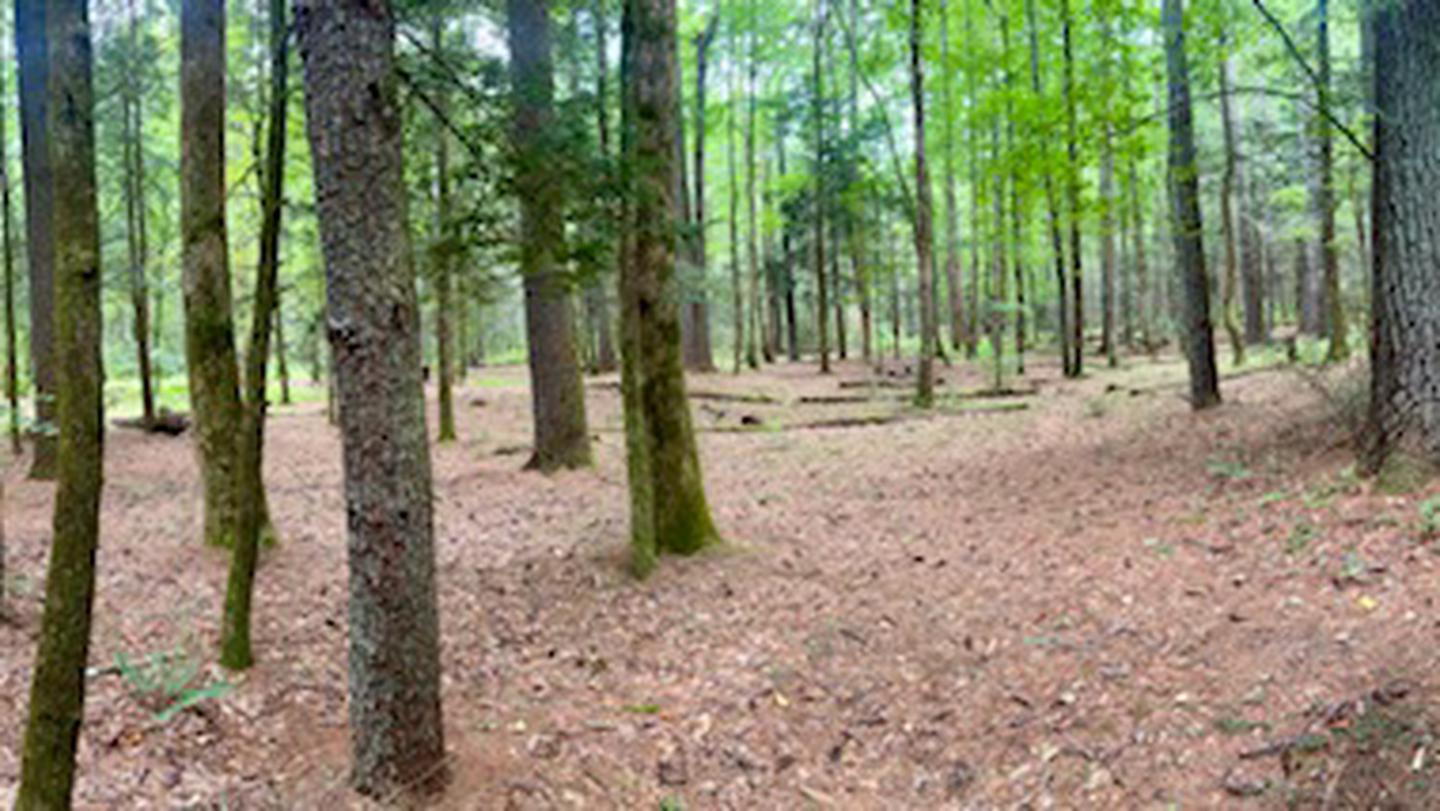
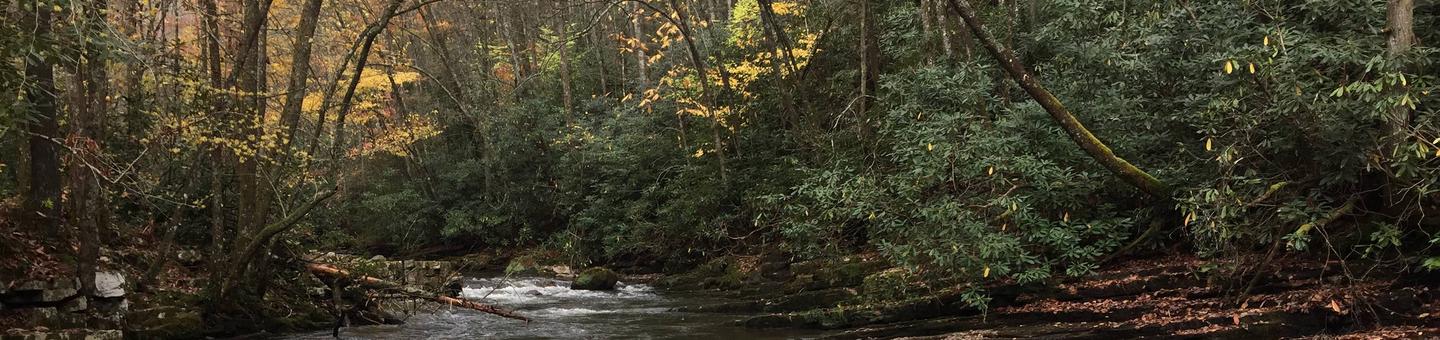
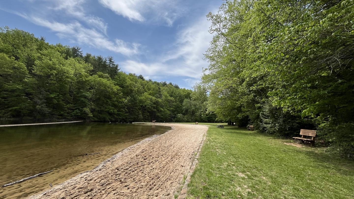
Primitive backcountry campground with eight campsites. Each site has a fire ring/pad and a food storage locker; a portable toilet is available on site. Visitors are advised to pack in their own drinking water for safety. The campground is shaded and sits adjacent to Rock Castle Creek.
Researching this campground? Ask anything — other campers and our team will weigh in. No visit required.
Short heads-ups about the road in, gear quirks, timing, and more. You don't have to have been here to share what you know.
Rate Rock Castle Gorge Backcountry Camping
Been here? Tap a star to start. Takes about a minute.
Sign-in required only if you want your name on it.

No review summaries available for this campground yet.
Check back later as we continuously analyze new reviews.
Be the first to review this campground
Every adventure creates another. Share what you learned so the next camper feels a little more prepared heading out.