Go if
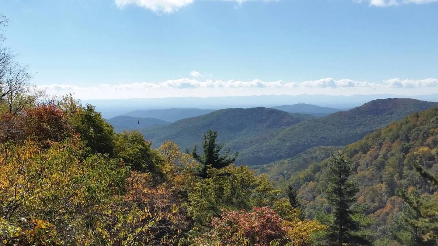
Backcountry hikers who want a real forest camp with fire rings, bear lockers, and 28 miles of trails on the Blue Ridge Parkway will find fall weekdays here nearly empty, with hardwood color and clear creek fishing at their best.
 00 review
Select a month, then check for open campsites
Price
$15/night
Booking
Check Site
Sites
8 campsites
Season
Year-round
Cell
No Service
Pets
Check Policy
Select a month, then check for open campsites
Price
$15/night
Booking
Check Site
Sites
8 campsites
Season
Year-round
Cell
No Service
Pets
Check Policy
We'll monitor this campground and alert you the moment sites become available.
Free to start · paid plans add 2-min scans
256,000+ sites monitored · Email, SMS, or in-app notifications
Learn more about alerts →Basin Cove Backcountry Camping
36.3898, -81.1621
Backcountry hikers who want a real forest camp with fire rings, bear lockers, and 28 miles of trails on the Blue Ridge Parkway will find fall weekdays here nearly empty, with hardwood color and clear creek fishing at their best.
No toilet means cat-hole preparation, no tap means carry or purify everything from the creeks, and the 1,500-foot climb out with a loaded pack has ended more than a few trips early.
Reference information about Basin Cove Backcountry Camping compiled from official sources. Every claim links to its source. View official page →
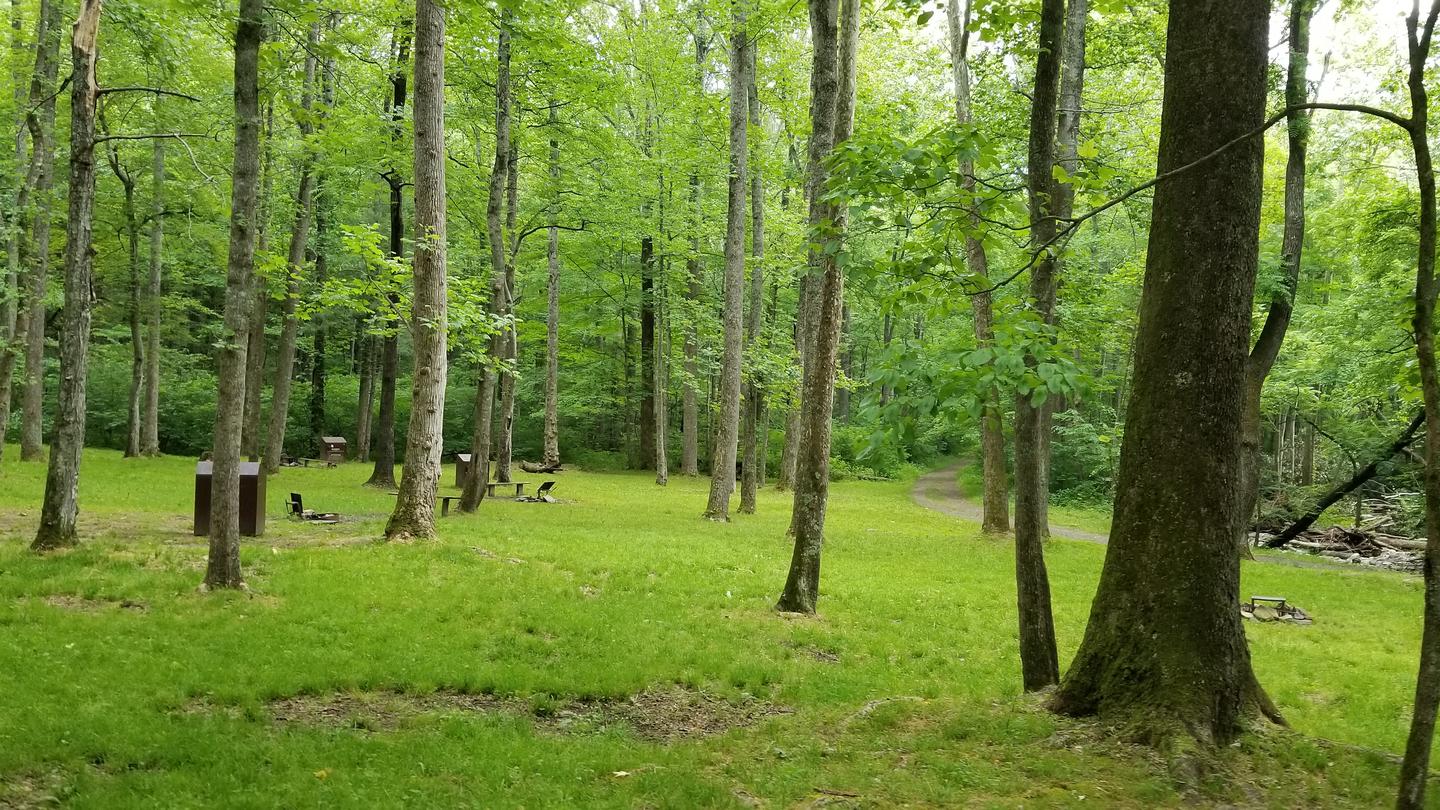
Basin Cove Backcountry Camping is a primitive campground located in historic Basin Cove at Doughton Park on the Blue Ridge Parkway in North Carolina. Multiple trails allow access to the campground, with trails descending over 1500 feet from the parkway into the Basin Cove area. The easiest trail is the Grassy Gap Fire Road entrance from Longbottom Road. This year-round campground has eight campsites, each equipped with individual fire rings, lantern posts, and food storage boxes. No pit toilet or privy exists, so campers must be prepared to dispose of waste properly. Surface water is unsafe and must be purified by boiling or filtering and disinfecting. The campground is situated among a mixed hardwood and conifer forest with multiple creeks providing fishing opportunities. Black bears inhabit the surrounding 6,000 plus acres of public land. Overnight parking for backcountry is permitted at designated areas, such as beside a small bridge on Longbottom Road at coordinates 36.3752, -81.1447, elevation 1440 feet. Check-in time is 3 PM and check-out time is 12 Noon. Cell phones most likely do not work in the area.
No sign-in required. Your reactions help us improve this page.
Official information for Basin Cove Backcountry Camping from the federal Recreation.gov facility record. View official page →
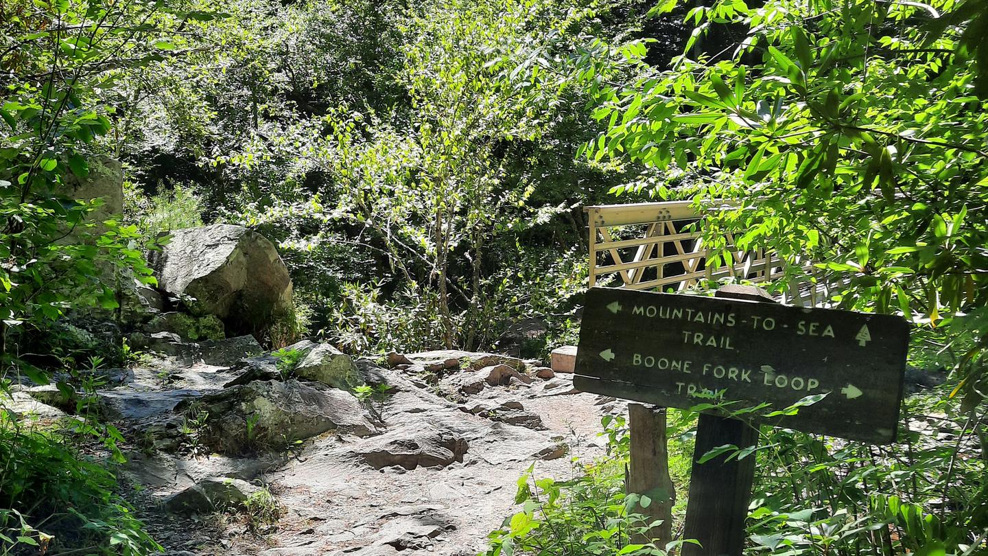
Basin Cove backcountry is a primitive camp located in historic Basin Cove at Doughton Park on the Blue Ridge Parkway in North Carolina.. Multiple trails allow access to the primitive campground. Click to see a map Doughton Park Hiking Trails
Overnight parking for backcountry is permitted at designated areas.
From the parkway, the trails descend over 1500 feet into the Basin Cove Area. Easiest trail is the Grassy Gap Fire Road entrance from Longbottom Road.
This year-round campground has eight campsites each with individual fire rings, lantern post, and food storage boxes. No pit toilet or privy exists. Note particularly that surface water is unsafe. Water from natural sources must be purified by boiling or filtering and disinfecting.
Thunderstorms are common along the escarpment.
Cell phones most likely do not work in the area.
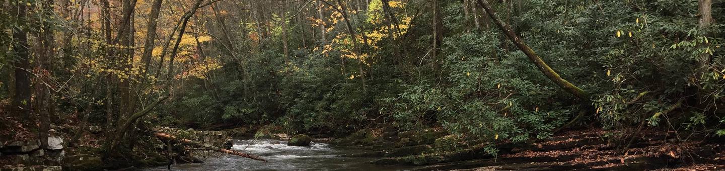
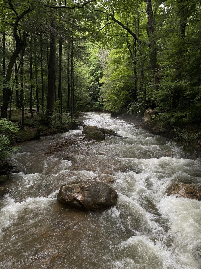
Multiple creeks provide fishing opportunities.
Doughton Park trails system offers more than 28 miles of hiking trails. From the campsites, trails ascend 1,500 feet to the Blue Ridge Parkway. The most difficult trail up to the parkway is the Bluff’s primitive trail. The easiest route in and out of the campsite is at Longbottom Road via the Grassy Gap Fire Road.
This year-round backcountry camping area has eight campsites each with individual fire rings, lantern post, and food storage boxes. No pit toilet or privy exists so be prepared to dispose of waste properly. Note: Surface water is unsafe. Water from natural sources must be purified by boiling or filtering and disinfecting.
Basin Cove was a thriving community of over 50 families from 1863 to 1916. Two stalled tropic storms dumped 22.2 inches of rain during a 3-day period in 1916, causing massive mudslides that wiped out all but 1 and half homes. Remnants of homesites and graves are scattered throughout the area. The 3.5-mile Caudill Cabin trail leads the only existing cabin.
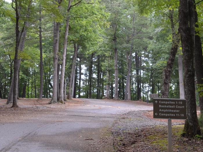
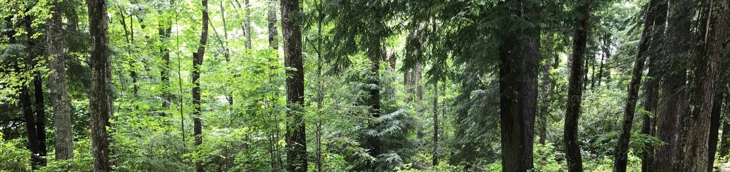
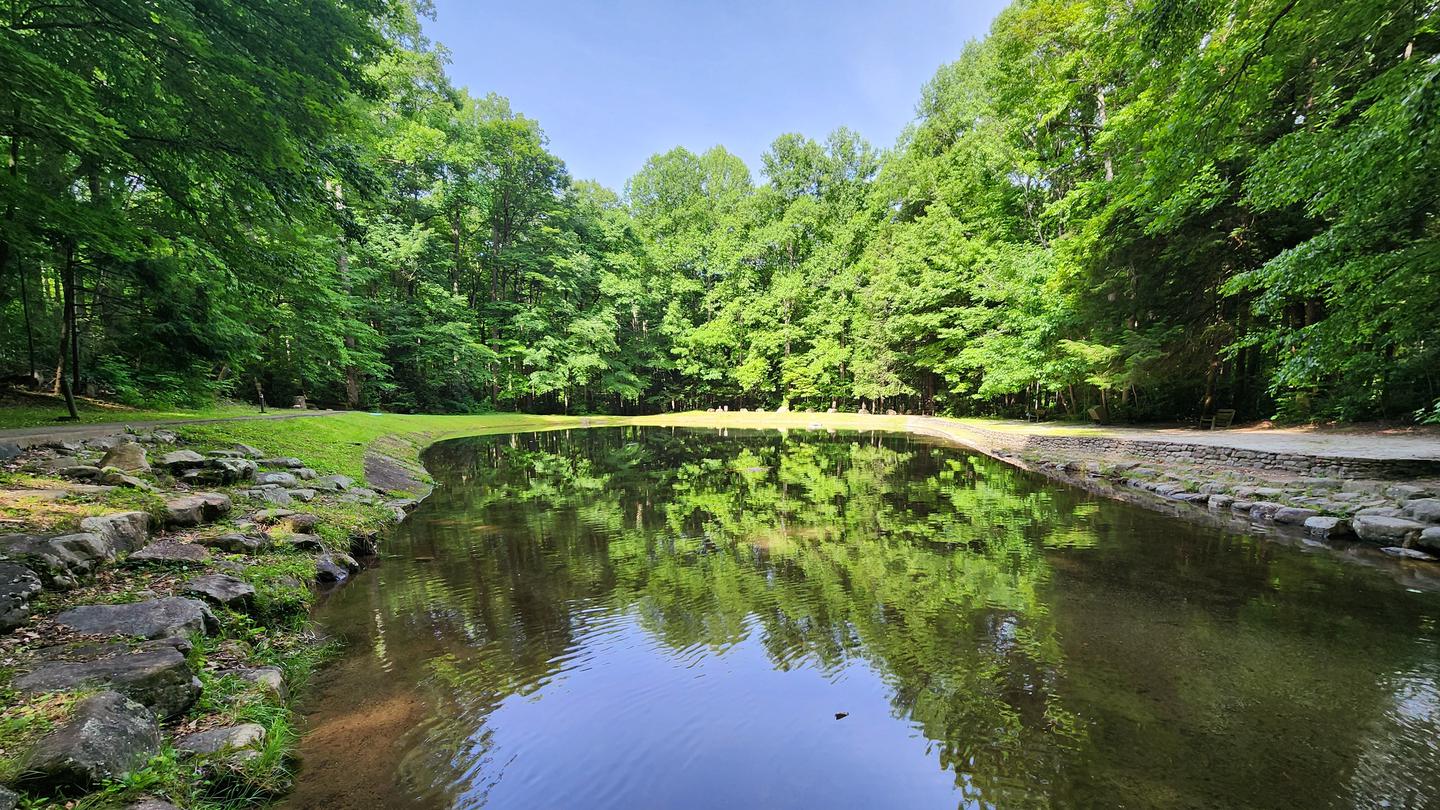
The campground is situated among a mixed hardwood and conifer forest with multiple creeks.
Special Parkway water regulations apply in Basin Cove. Fishing
Black Bears inhabit the 6,000 plus acres of public land.
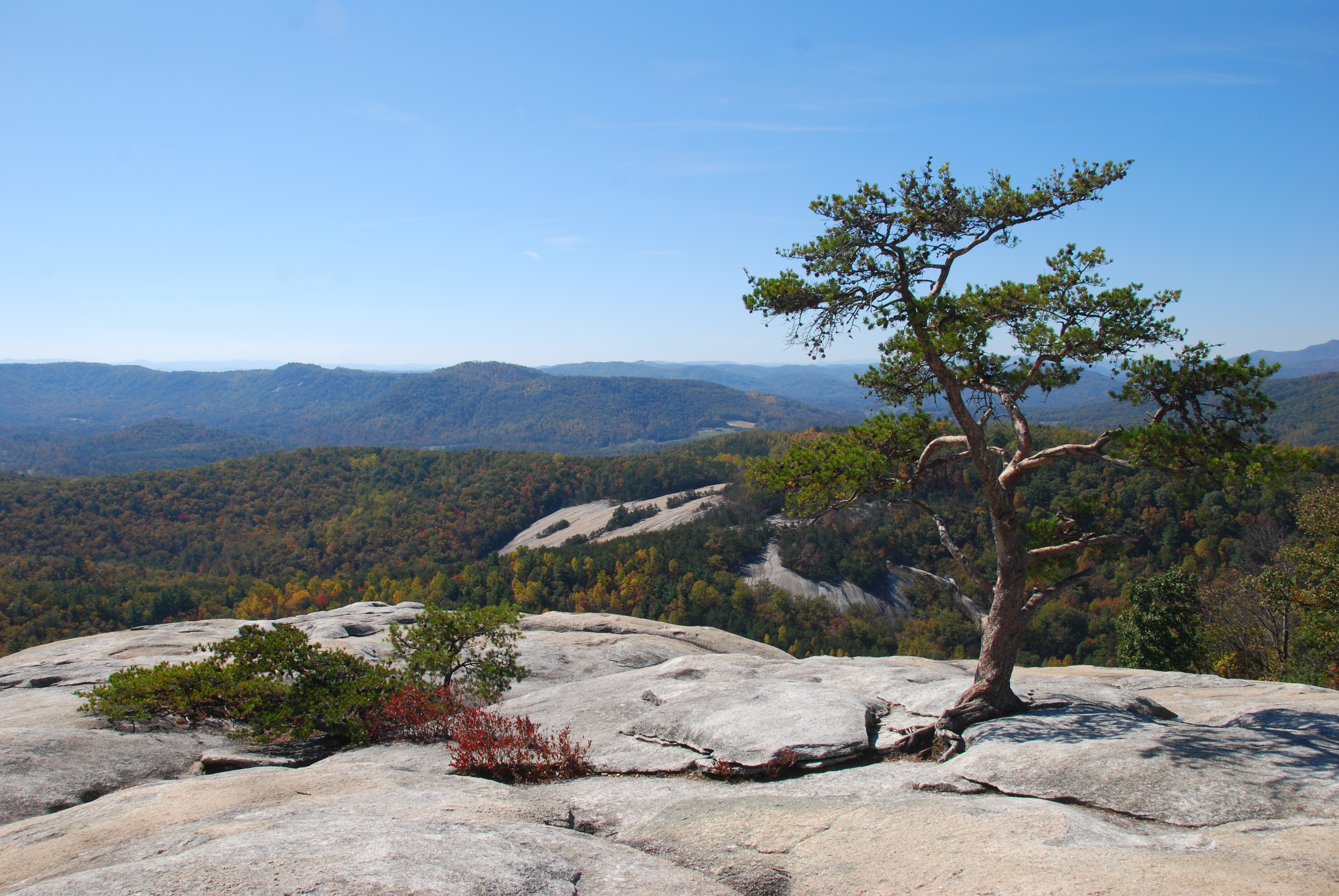
Stone Mountain State Park Stone Mountain State Park
Alleghany County Alleghany County
Wilkes County Wilkes County
New River New River
<p><strong>Grassy Gap Fire Road on Long Bottom Road is the shortest and easiest route into the backcountry. </strong> </p> <p>Long Bottom Road from Blue Ridge parkway </p> <p>· From the Blue Ridge Parkway, Head South on NC 18 for 6.2 miles.</p> <p>· Turn Left on Longbottom Road and go 6.4 miles to a small Bridge with Black & Yellow Marker signs. </p> <p>· Parking Area (36.3752 -81.1447) is beside the Bridge. Elevation 1440.</p> <p>· Trail to Basin Cove Primitive Camping Area is across the Road from the Parking Area. Look for gated road. </p> <p><strong>Note:</strong></p> <p><strong>Long bottom road can be accessed from other routes. </strong> </p> <p>1/ Basin Cove from Wilkesboro, NC</p> <p>From US Hwy 421 in Wilkesboro, take Hwy 18 North towards Sparta. Travel approximately 17.6 miles to Longbottom Road in the community named McGrady.</p> <p>Turn right on Longbottom Road and go 6.4 miles to a small Bridge with Black & Yellow Marker signs. </p> <p>2/ Alternative routes from the east include US hwy 21 and from Stone Moutain State Park. </p> <p><strong>Other locations to park are along the Blue Ridge Parkway as follows:</strong></p> <p>Bluff Mountain Overlook - Milepost 243.4 (36.408341666666 -81.195863888888)</p> <p>Basin Cove Overlook - Milepost 244 (36.391030555555 -81.20025833333)</p> <p>Grassy Gap Fire Road - Milepost 243.9 (36.404694444444 -81.19649722222)</p> <p>Bluff's Restaurant - Milepost 24 (36.433525000000 -81.17739166666)</p> <p>Doughton Park Picnic Area - Milepost 241 (36.433525000000 -81.17739166666)</p> <p>Brinegar Cabin - Milepost 238.5 (36.419452777777 -81.14617222222)</p>
Context for the broader area surrounding Basin Cove Backcountry Camping, sourced from the federal Recreation.gov rec-area record.
A Blue Ridge Parkway experience is unlike any other: a slow-paced and relaxing drive revealing stunning long-range vistas and close-up views of the rugged mountains and pastoral landscapes of the Appalachian Highlands. The Parkway meanders for 469 miles, protecting a diversity of plants and animals, and providing opportunities for enjoying all that makes this region of the country so special.
The parkway is a 469-mile-long scenic road connecting Shenandoah National Park in Virginia to Great Smoky Mountains National Park in North Carolina. Numerous federal and state highways provide access to the parkway. Milepost markers are positioned every mile along the parkway, starting at 0 in Virginia and ending at 469 in North Carolina. We suggest using a map to identify the area you want to visit, as GPS directions often do not incorporate the parkway's milepost system.

Compare with similar sites, watch availability, and build a packing list — Camp Sage handles all of it.
Best season: fall. Fall delivers the most striking experience here — crisp, cool days (daytime highs often in the 50s–60s°F at ~1,600 ft) with peak hardwood color along the escarpment and lower crowding because sites are backcountry-only. Hiking, creek fishing, wildlife viewing, and photography are all at their peak as streams run clear and foliage lights up the cove; expect quieter trails on weekdays though the Blue Ridge Parkway sees more leaf‑peepers on weekends. Bring layers for chilly nights (30s–40s°F) and a Peak months: October, September, May, April
Fall brings crisp days, peak hardwood color, clear creeks—described as peak season for views/fishing.
Note particularly that surface water is unsafe. Water from natural sources must be purified by boiling or filtering and disinfecting.
Researching this campground? Ask anything — other campers and our team will weigh in. No visit required.
Short heads-ups about the road in, gear quirks, timing, and more. You don't have to have been here to share what you know.

No review summaries available for this campground yet.
Check back later as we continuously analyze new reviews.
Be the first to review this campground
Every adventure creates another. Share what you learned so the next camper feels a little more prepared heading out.