Go if
You want high-elevation tranquility and don't need hookups or developed amenities.
 02 reviews
Price
$15/night
Booking
Reservable
Sites
Varies
Season
"Season opens on May...
Cell
Unknown
Pets
Check Policy
Elevation by Open-Meteo.com, licensed under CC BY 4.0, processed by Outdoorithm.
Price
$15/night
Booking
Reservable
Sites
Varies
Season
"Season opens on May...
Cell
Unknown
Pets
Check Policy
Elevation by Open-Meteo.com, licensed under CC BY 4.0, processed by Outdoorithm.
We'll monitor this campground and alert you the moment sites become available.
Free to start · Premium adds 2-min scans
263,000+ sites monitored · Email alerts to start; SMS and in-app with an account
Learn more about alerts →Cordova Pass
37.3485, -105.0248
We'll monitor this campground and alert you the moment sites become available.
Free to start · Premium adds 2-min scans
263,000+ sites monitored · Email alerts to start; SMS and in-app with an account
Learn more about alerts →You want high-elevation tranquility and don't need hookups or developed amenities.
You require electric hookups, running water, or guaranteed shoulder-season access.
Context for the broader area surrounding Cordova Pass, sourced from the federal Recreation.gov rec-area record.
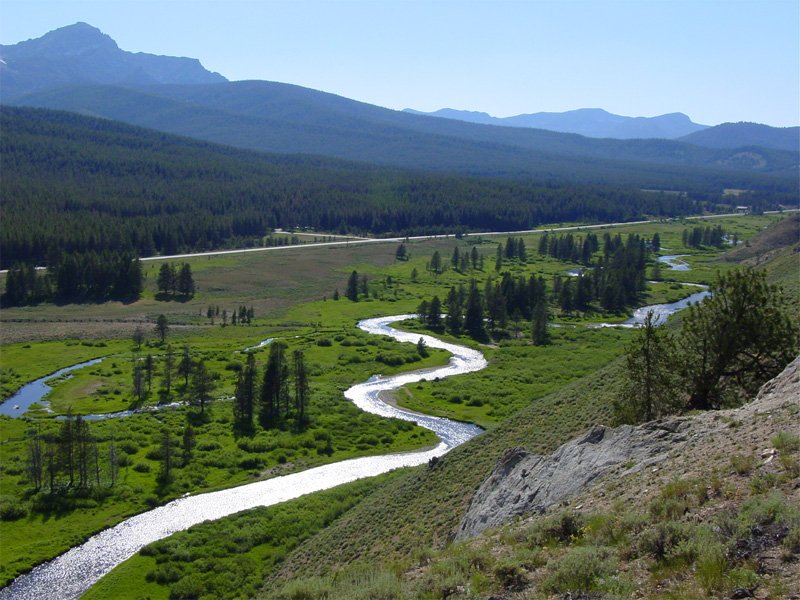
<p><strong>Peaks to Prairies - Tracks to Trails</strong></p> <p>Pike and San Isabel National Forests & Cimarron and Comanche National Grasslands (<a class="offsiteicon" href="http://www.fs.fed.us/locatormap/index.php?lat=37.59&long=-104.77&zoom=7" target="_blank">forest locator map</a>) cover nearly 3 million acres, between the prairies of western Kansas and some of Colorado's highest mountain peaks along the Continental Divide. These sprawling forests and grasslands are an eight hour drive from boundary to boundary. This landscape offers a variety of ecosystems rich in history, geology, scenery, wildlife habitat and recreation opportunities.</p> <p>The rolling prairies to the east are home to prairie chickens, wildflowers, paleontological resources and historical areas. The snow-capped Rockies to the west are a scenic backdrop to millions of residents and a draw to forest visitors. The forests are home to nearly half of <a href="http://www.fs.usda.gov/detail/r2/recreation/?cid=stelprd3798321">Colorado's fourteeners</a> with numerous alpine lakes, reservoirs and key rivers. Over 385,000 acres of <a href="https://www.fs.usda.gov/recarea/psicc/recreation/recarea/?recid=37201">Wilderness</a>, the Continental Divide National Scenic Trail, Colorado Trail, and Santa Fe National Historic Trail are special areas worth exploring.</p> <p>People who live near these areas maintain a strong relationship to the lands. The commitment and volunteerism that these community members have for these public lands is the foundation for our ability to maintain a quality, sustainable recreation program in the face of intense, and growing, urban demand.</p> <p><strong><strong>Critical Information about the use of Unmanned Aircraft Systems</strong></strong></p> <p>Unmanned Aircraft Systems (UAS) or “drones” are increasing in popularity and can provide wonderful opportunities to explore the forest. Please be aware that these drones are regulated and must follow certain laws to be safe and legal.</p> <ul> <li><a href="http://www.fs.usda.gov/Internet/FSE_DOCUMENTS/stelprd3846515.pdf">Recreational Drone Tips</a> (.pdf)</li> <li><a href="http://www.fs.fed.us/science-technology/fire/unmanned-aircraft-systems">Forest Service Unmanned Aircraft Systems policy</a> (fs.fed.us)</li> </ul>

Availability, what to pack, similar spots — ask anything and get an instant answer.
Best season: summer. Summer offers the most reliable access and weather at this high-elevation (11,273 ft) site — long daylight, the snow-free approach, and the fullest range of trail access make it the best time to visit. Daytime highs are typically in the mid-50s to mid-60s °F while nights stay chilly (20s–40s °F), so you get comfortable daytime hiking and crisp alpine evenings. Summer is peak season for wildflower displays, high-country hiking and photography; expect moderate crowds on weekends since campsitesare Peak months: July, August, June, September Avoid: October, November, December, January
Best season: summer; snow-free access, long daylight and full trail access May–Sep.
Weather data by Open-Meteo.com, licensed under CC BY 4.0, processed by Outdoorithm.
Reservation tips, booking windows, and free cancellation alerts.
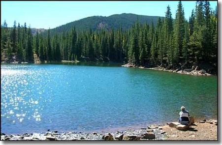
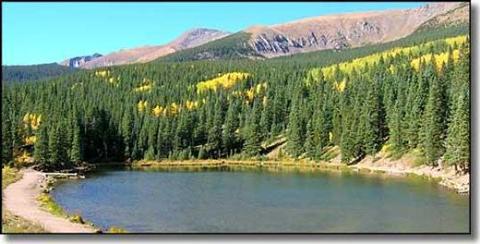
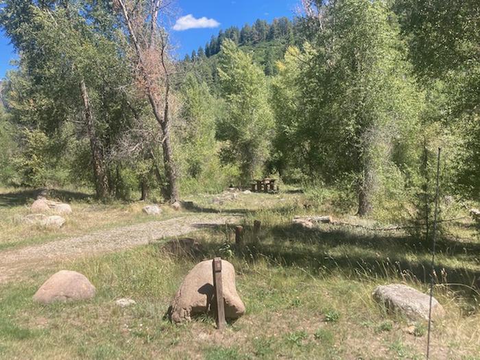
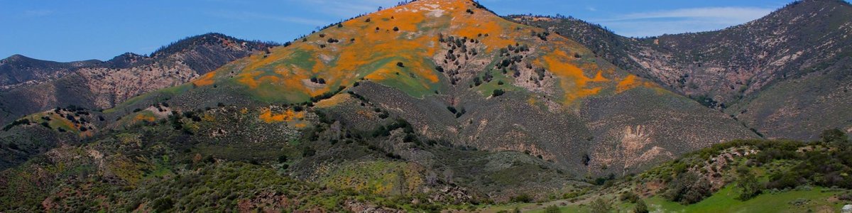
Cordova Pass is a first-come, first-served campground operating on a seasonal basis. "Visitors are required to physically arrive at the campground to purchase and claim a site." The campground offers limited amenities, and some of its facilities reflect its remote nature. Overall, the campground is known for its simplicity and proximity to natural features.
Researching this campground? Ask anything — other campers and our team will weigh in. No visit required.
Short heads-ups about the road in, gear quirks, and timing, compiled by Outdoorithm from public reviews and operator information.
Rate Cordova Pass
Been here? Tap a star to start. Takes about a minute.
Sign-in required only if you want your name on it.

Be the first to review this campground
Every adventure creates another. Share what you learned so the next camper feels a little more prepared heading out.