Go if
You want a well-maintained base camp for Yosemite day trips with river access and designated tent pads.
 4.29301 reviews
Price
$38 - $76/night
Booking
Reservable
Sites
34 campsites
Season
The campground opera...
Cell
No Service
Pets
Very Pet Friendly
Elevation by Open-Meteo.com, licensed under CC BY 4.0, processed by Outdoorithm.
Price
$38 - $76/night
Booking
Reservable
Sites
34 campsites
Season
The campground opera...
Cell
No Service
Pets
Very Pet Friendly
Elevation by Open-Meteo.com, licensed under CC BY 4.0, processed by Outdoorithm.
We'll monitor this campground and alert you the moment sites become available.
Free to start · Premium adds 2-min scans
263,000+ sites monitored · Email alerts to start; SMS and in-app with an account
Learn more about alerts →Dimond O
34660 EVERGREEN ROAD
We'll monitor this campground and alert you the moment sites become available.
Free to start · Premium adds 2-min scans
263,000+ sites monitored · Email alerts to start; SMS and in-app with an account
Learn more about alerts →You want a well-maintained base camp for Yosemite day trips with river access and designated tent pads.
You're sensitive to generator noise or prefer campgrounds without on-site hosts.
Camper Report Card
Rated higher than 93% of graded campgrounds
Graded on what 233 campers actually wrote - graded on 14 things that make or break a trip. Each topic is graded against every other campground on it - A is among the best, C about average. No star ratings.
Strengths
Watch-outs
Each topic is graded against every other campground on it; a topic campers liked never grades below C−. ± shows the 95% confidence range from the sample size.
Reference information about Dimond O sourced from official USFS records and forestcamping.com. View official recreation.gov page →
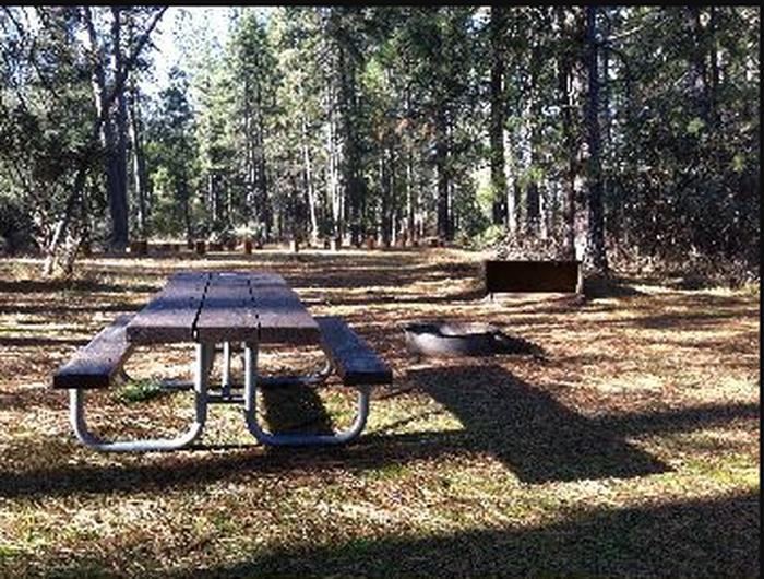
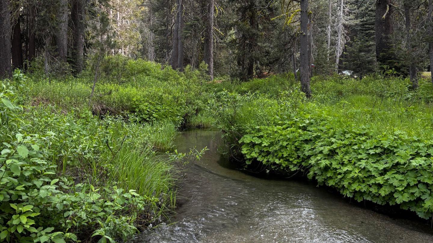
<!-- SLIDER --><link href="http://www.fs.usda.gov/Internet/FSE_DOCUMENTS/stelprdb5318146.css" media="screen" rel="stylesheet" type="text/css" /><script src="https://ajax.googleapis.com/ajax/libs/jquery/1.8.3/jquery.min.js" type="text/javascript"></script><script src="http://www.fs.usda.gov/Internet/FSE_DOCUMENTS/stelprdb5317644.js" type="text/javascript"></script><script type="text/javascript">var $j = jQuery;$j.noConflict();$j(window).load(function() {$j('#slider').nivoSlider( {effect: 'fade',startSlide: 0,animSpeed: 750,pauseTime: 8000});});</script><div id="slider"><a href="http://www.fs.usda.gov/detail/stanislaus/?cid=fseprd499715"><img alt="Dimond O Campground" src="http://www.fs.usda.gov/Internet/FSE_MEDIA/fseprd499715.jpg" title="Dimond O Campground" /></a><a href="http://www.fs.usda.gov/detail/stanislaus/?cid=fseprd499717"><img alt="Dimond O Campground" src="http://www.fs.usda.gov/Internet/FSE_MEDIA/fseprd499717.jpg" title="Dimond O Campground" /></a><a href="http://www.fs.usda.gov/detail/stanislaus/?cid=fseprd499718"><img alt="Dimond O Campground River" src="http://www.fs.usda.gov/Internet/FSE_MEDIA/fseprd499718.jpg" title="Dimond O Campground River" /></a><a href="http://www.fs.usda.gov/detail/stanislaus/?cid=fseprd499719"><img alt="Dimond O Campground Restroom" src="http://www.fs.usda.gov/Internet/FSE_MEDIA/fseprd499719.jpg" title="Dimond O Campground Restroom" /></a></div><!-- /SLIDER --><p> </p><p>The Dimond O Campground is located on a mixed conifer forested site adjacent to the Middle Fork of the Tuolumne River. It is the closest campground to the Big Oak Flat entrance to Yosemite National Park and Hetch Hetchy Reservoir. Each site has a picnic table, bear box, and a campfire pit with a grill. Vault toilets and potable water is available throughout the campground.</p><table bgcolor="#ffff00" frame="box" width="100%"><colgroup><col width="124" /><col width="385" /></colgroup><tbody><tr><td><div align="center"><img alt="snag tree" height="184" src="”/Internet/FSE_MEDIA/stelprd3796487.png" width="124" /></div></td><td><div align="center"><font size="4"><strong><span class="style1">CAUTION - BURNED AREA</span></strong> </font><br /><strong>Please use caution while in the</strong><br /><a href="http://www.fs.usda.gov/detail/stanislaus/home/?cid=stelprdb5442963">Rim Fire Burned Area</a>.<br />Potential hazards include loose and falling rocks, flash floods, and debris flows.<br />Trees may have been weakened from fire damage and ongoing drought and may fall at any time.<br />Stay on designated roads and trails and within opened areas.</div><div align="center">Be alert for falling objects and do not linger around large trees.</div><div align="center">Avoid the area during high winds or heavy rain.</div></td></tr></tbody></table>
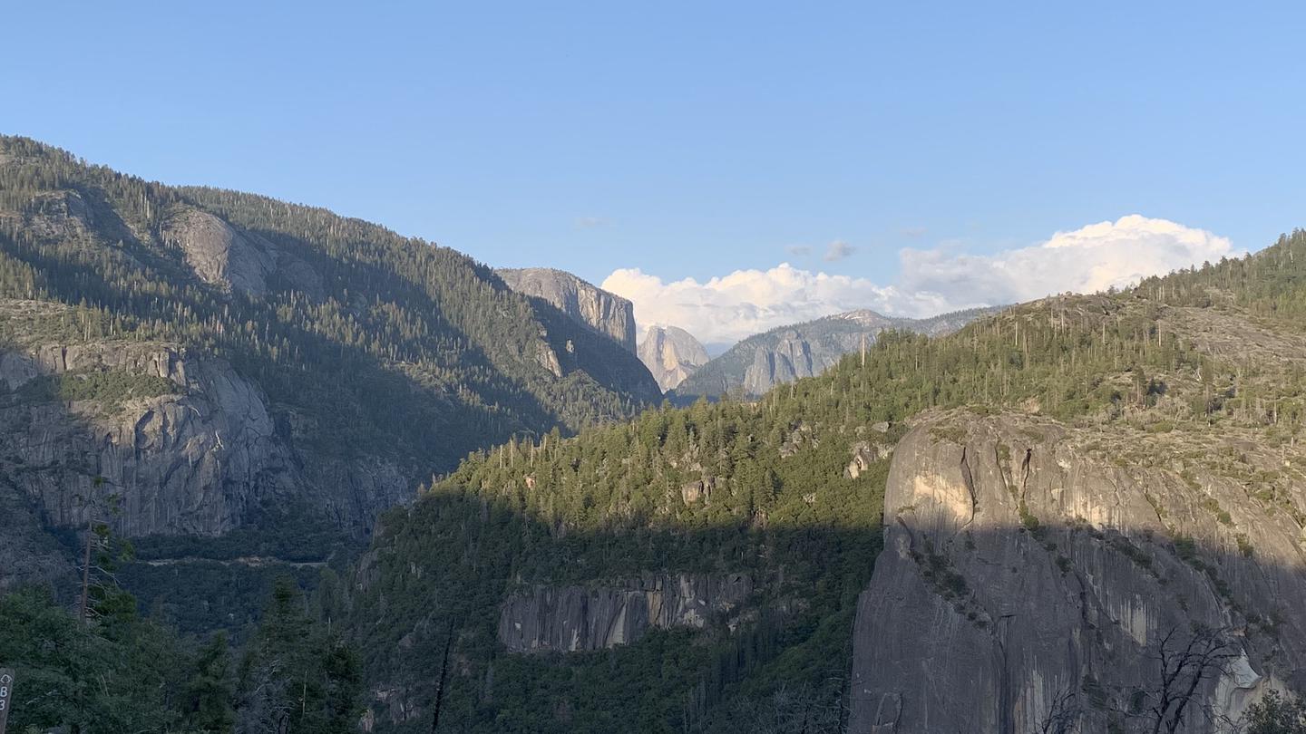
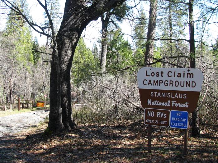
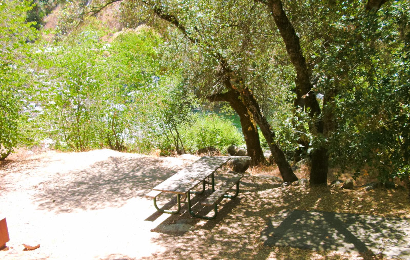
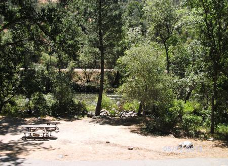
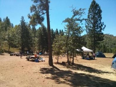
The elevation is 4,600 ft. Stanislaus National Forest 381 The campground has one large loop through a stand of mixed conifers, including Incense cedar, oak, and Ponderosa pine, along the Middle Fork of the Toulumne River. Although ample shade, with little understory privacy is only fair. Some sites overlook the river while others are tucked in amoung the trees. Closest Forest Service campground with vehicle access to Yosemite National Park, this is a great basecamp for exploring the area. Firewood is available for a fee. Trees in the area were harvested to make crates for the California Peach and Fig Growers Association. The campground is located on the former site of the Associations's lumber mill. Later, the location became a Boy Scout Camp which operated from 1926 through 1968. Don't be surprised to meet an old Boy Scout still enjoying the campground and telling wonderful stories about the area and their time here. This is bear country; use the provided bear-proof container and practice safe food storage techniques.
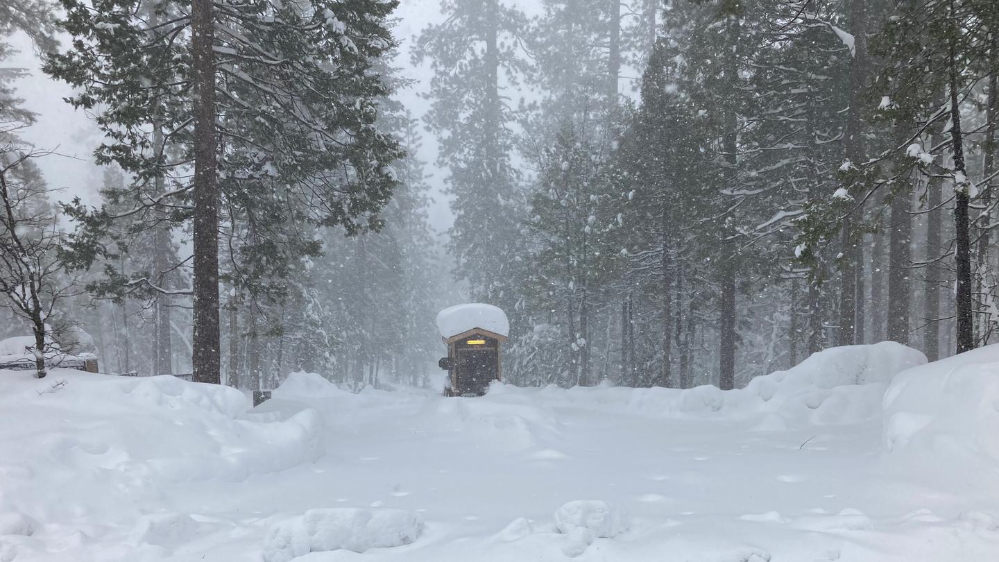
Open April 27 through October 8 - weather dependent
The parking aprons are paved. A waste station with no potable water, is available for a fee at Yosemite Lake Preserve, 4.5 miles west on State Rt. 120.
From Big Oak Flat, CA take State Route 120 east 30.8 miles to tent symbol sign. Turn left after sign, onto Evergreen Rd/Forest Route 12, and go 5.7 miles to campground on left. NOTE: Because of bridge condition, vehicles over 25 ft. are not permitted on Evergreen Rd/FR12. Check with Ranger District Office for current bridge load status.
Dimond O appears in our curated guides. Explore more top-rated campgrounds for the same activities and regions.

Availability, what to pack, similar spots — ask anything and get an instant answer.
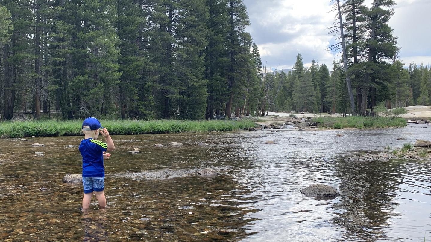
Best season: summer. Summer offers the warmest, most reliably dry weather (daytime highs commonly 70–85°F, nights 40–50°F) and full access to trails, river swimming, and fishing along the Middle Fork Toulumne. Water recreation is at its peak after snowmelt subsides, and long daylight hours make it ideal for day hikes into nearby Yosemite and Hetch Hetchy. Expect higher visitor volume—this is a popular gateway to Yosemite—so make reservations early and be prepared for summer fire restrictions. Peak months: July, August, September, June Avoid: November, December, January, February
Opens Apr 26; late spring brings active wildlife, warming weather and good river conditions.
Weather data by Open-Meteo.com, licensed under CC BY 4.0, processed by Outdoorithm.
Reservation tips, booking windows, and free cancellation alerts.
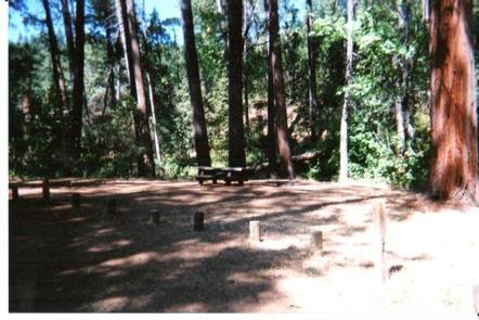
The DIMOND O campground offers a range of essential amenities, as reflected in both authoritative sources and user reviews. Camp sites feature picnic tables, fire rings, and bear lockers to enhance the camping experience. Accessible vault toilets are provided and are frequently noted as clean and well-maintained. Drinking water spigots are widely available, providing clean, potable water. Paved roads and parking areas are present, and firewood can be purchased on-site for $8 per bundle. All sites lack electrical or water hookups, but the campground is described as spacious and serene, with many sites featuring raised dirt tent pads for comfort and convenience. "Campground is clean and well-maintained," is a common sentiment echoed by reviewers.
Researching this campground? Ask anything — other campers and our team will weigh in. No visit required.
Short heads-ups about the road in, gear quirks, and timing, compiled by Outdoorithm from public reviews and operator information.
Rate Dimond O
Been here? Tap a star to start. Takes about a minute.
Sign-in required only if you want your name on it.

Be the first to review this campground
Every adventure creates another. Share what you learned so the next camper feels a little more prepared heading out.