Go if
You want no-frills tent camping on a scenic river managed by the National Park Service.
 00 review
Seasonal ranking by Open-Meteo.com, licensed under CC BY 4.0, processed by Outdoorithm.

Price
Varies
Booking
Walk-in Only
Sites
57 campsites
Season
Year-round
Cell
Unknown
Pets
Check Policy
Elevation by Open-Meteo.com, licensed under CC BY 4.0, processed by Outdoorithm.
Price
Varies
Booking
Walk-in Only
Sites
57 campsites
Season
Year-round
Cell
Unknown
Pets
Check Policy
Elevation by Open-Meteo.com, licensed under CC BY 4.0, processed by Outdoorithm.
We'll monitor this campground and alert you the moment sites become available.
Free to start · Premium adds 2-min scans
263,000+ sites monitored · Email alerts to start; SMS and in-app with an account
Learn more about alerts →Middle St. Croix
45.7733, -92.7811
We'll monitor this campground and alert you the moment sites become available.
Free to start · Premium adds 2-min scans
263,000+ sites monitored · Email alerts to start; SMS and in-app with an account
Learn more about alerts →You want no-frills tent camping on a scenic river managed by the National Park Service.
You need hookups, developed facilities, or guaranteed summer availability.
Context for the broader area surrounding Middle St. Croix, sourced from the federal Recreation.gov rec-area record.
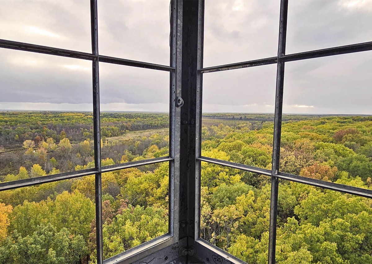
Grab your paddle and your longing for adventure and head to the St. Croix and Namekagon rivers! Together they form the St. Croix National Scenic Riverway, offering over 200 miles of clean water that glides and rushes through a forested landscape. Paddle, boat, fish, and camp among this wild and scenic beauty. Hiking and historic towns also beckon.
The St. Croix National Scenic Riverway stretches for over 200 miles in northwest Wisconsin and east-central Minnesota. The Namekagon River flows entirely in Wisconsin while the St. Croix River serves as a border between the two states for much of its length. With many different access points there are numerous opportunities for day trips as well as multi-day paddling adventures. Visitor centers are located on the Namekagon River in Trego, Wisconsin, and on the St. Croix River in St. Croix Falls, Wisconsin.
Middle St. Croix appears in our curated guides. Explore more top-rated campgrounds for the same activities and regions.

Availability, what to pack, similar spots — ask anything and get an instant answer.
Best season: spring. Spring offers the best balance of mild weather and active river- and shore-side life: daytime highs typically range from about 40–65°F (4–18°C) with cool nights, and migrating birds, budding hardwoods, and river otters are highly visible. River flows can be higher during spring melt, which makes paddling adventurous and the cliff-and-sandstone scenery especially dramatic, while wildflowers and fresh green forest make campsites feel new again. Crowds are lower than peak summer weekends, so you’ll Peak months: May, June, September, October Avoid: January, February
Overview explicitly lists spring as 'best season' with mild temps and active river/shore life.
Weather data by Open-Meteo.com, licensed under CC BY 4.0, processed by Outdoorithm.
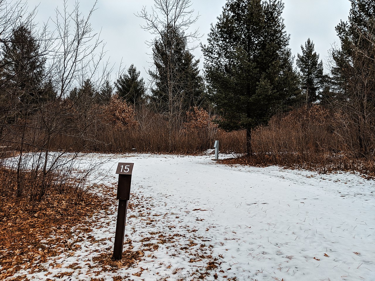
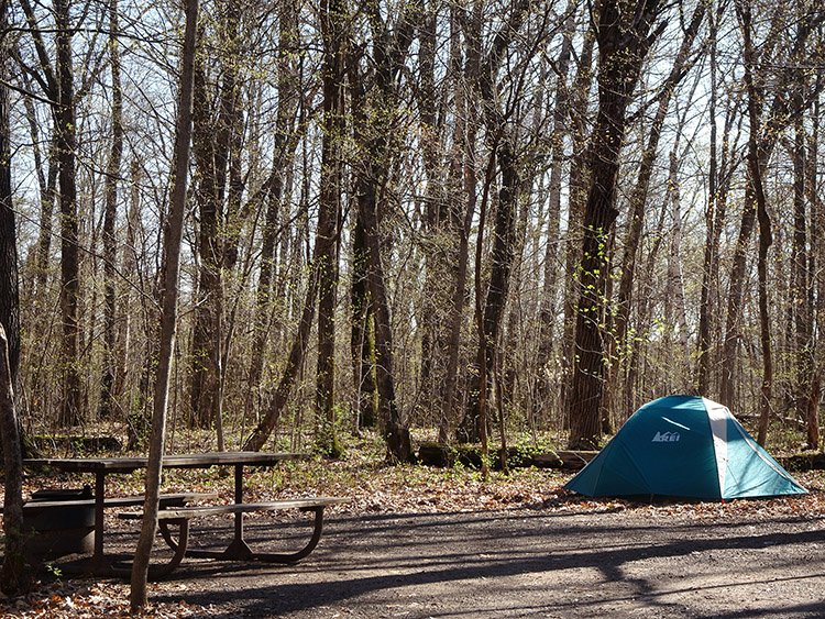
Middle St. Croix provides 57 primitive campsites along the St. Croix River, specifically from Riverside Landing to Highway 8 at St. Croix Falls-Taylors Falls. The campsites emphasize a 'Leave No Trace' ethic, and no permits or fees are required for camping. All sites are equipped with fire rings and are designated with brown camping signs.
Researching this campground? Ask anything — other campers and our team will weigh in. No visit required.
Short heads-ups about the road in, gear quirks, and timing, compiled by Outdoorithm from public reviews and operator information.
Rate Middle St. Croix
Been here? Tap a star to start. Takes about a minute.
Sign-in required only if you want your name on it.

Be the first to review this campground
Every adventure creates another. Share what you learned so the next camper feels a little more prepared heading out.