Mike Roess Gold Head Branch State Park sits on Florida's north central ridge, where rolling sandhills drop 65 feet into a rare ravine system fed by seepage springs. The Sandhill Loop holds 73 sites with electric and water hookups, flush toilets, hot showers, and a dump station. Fees run $5 per night. The park opened as one of Florida's first state parks in the 1930s, with Civilian Conservation Corps crews building the original structures.
Gold Head has three campground loops (Sandhill, Turkey Oak and Lakeview) with 73 campsites that accommodate tents, trailers and motorized campers; the park also offers primitive campsites (including group primitive sites) and lakefront vacation cabins.
Historical Significance
The park opened as one of Florida's first state parks. Civilian Conservation Corps crews developed the 600-acre site in the 1930s, building lakefront cabins and park structures that still stand today.Weather and SeasonsFall delivers the most comfortable conditions. Expect daytime highs in the mid-60s to low-80s with lower humidity and fewer afternoon thunderstorms than summer. Migratory and resident birds are very active, sandhill wildflowers bloom along the trails, and the sinkhole lakes stay warm enough for swimming. October is prime for wildflower viewing. Crowds are light to moderate compared to winter holidays. Spring also brings bird migrations and blooms. Summer on the outer Sandhill sites gets brutally hot with little shade; inner loop sites fare better under tree cover. Winter mornings are crisp, and the park's lakefront cabins get gas fireplaces October through April.
Weather data by Open-Meteo.com, licensed under CC BY 4.0, processed by Outdoorithm.
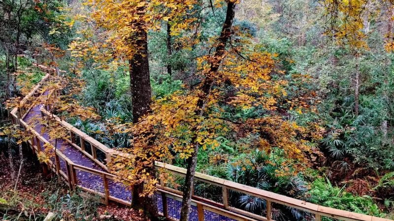
Natural Features and SceneryThe landscape here is singular for Florida: longleaf pine sandhills that plunge into a 1.5-mile ravine carved by Gold Head Branch. Old-growth pines tower over the highlands while seepage springs bubble from the ravine walls below. Little Lake Johnson and other sinkhole lakes dot the property, their clear water ringed by palmetto marshes. The transition from dry sandhill to cool ravine floor happens in minutes on foot. Wildlife is abundant: Sherman's fox squirrels, gopher tortoises, red-cockaded woodpeckers, bald eagles, deer, foxes, and seasonal songbirds. The ravine trails offer steep slopes, stream crossings, and fern-draped gullies you won't find elsewhere in the state.
Geological RegionRolling sandhills on the north central ridge of Florida; ravine system with seepage springs and sinkhole lakes.
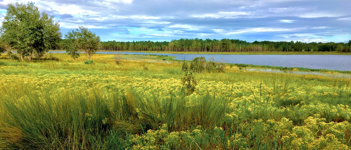
Scenic ViewsScenic views include the ravine and its stairway/boardwalk, lake views from the Lakeview loop and shoreline areas (Little Lake Johnson), and expanses of pine and grassland across the sandhills.
 4.48
4.48