Point Cedar
 4.2894 reviews
Seasonal ranking by Open-Meteo.com, licensed under CC BY 4.0, processed by Outdoorithm.

Quick Facts
531 ftPrice
Varies
Booking
Reservable
Sites
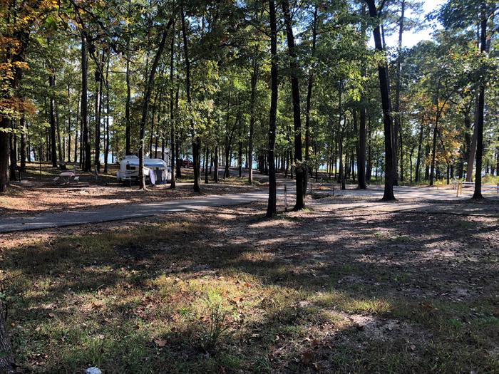
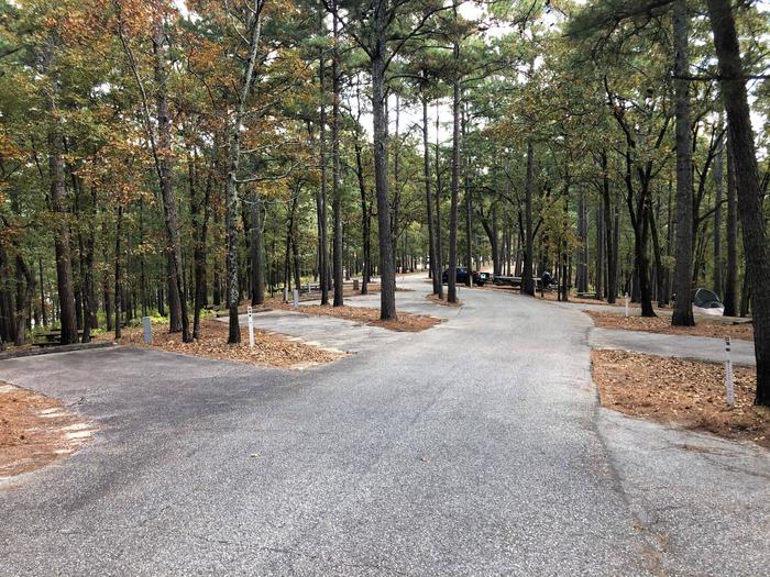
62 campsites
Season
Year-round
Cell
Unknown
Pets
Check Policy
Elevation by Open-Meteo.com, licensed under CC BY 4.0, processed by Outdoorithm.
Quick Facts
531 ftPrice
Varies
Booking
Reservable
Sites
62 campsites
Season
Year-round
Cell
Unknown
Pets
Check Policy
Elevation by Open-Meteo.com, licensed under CC BY 4.0, processed by Outdoorithm.
Get Notified When Available
We'll monitor this campground and alert you the moment sites become available.
Free to start · paid plans add 2-min scans
263,000+ sites monitored · Email alerts to start; SMS and in-app with an account
Learn more about alerts →Campground Map
Point Cedar
729 CHANNEL ROAD, ARKADELPHIA, AR 71923, USA
Weather at Point Cedar
About Point Cedar
RV details
Get Notified When Available
We'll monitor this campground and alert you the moment sites become available.
Free to start · paid plans add 2-min scans
263,000+ sites monitored · Email alerts to start; SMS and in-app with an account
Learn more about alerts →About Degray Lake
Context for the broader area surrounding Point Cedar, sourced from the federal Recreation.gov rec-area record.
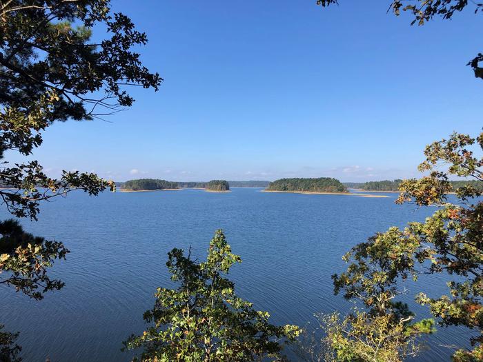
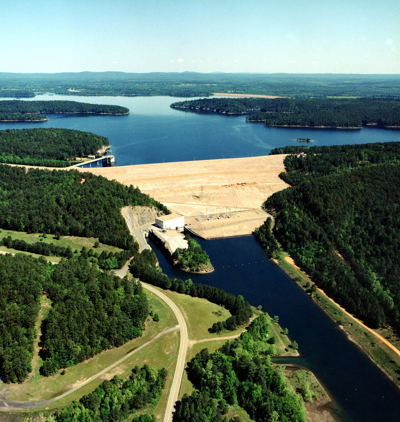
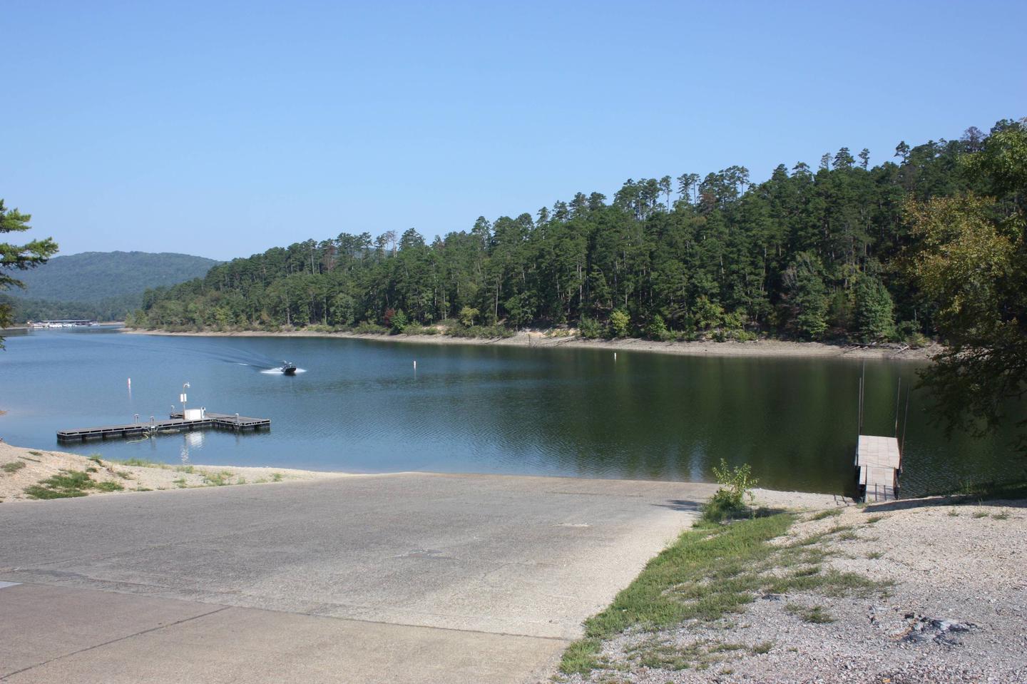
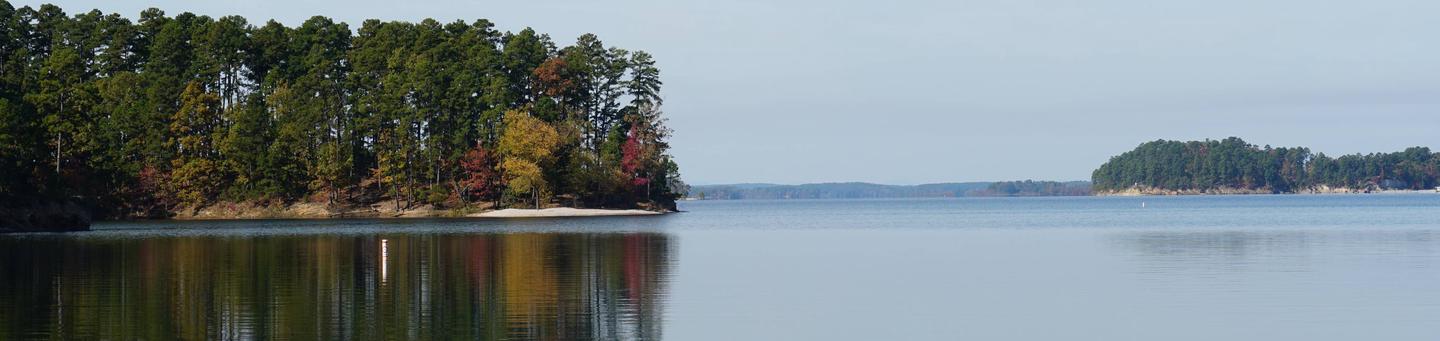
DeGray Lake, AR, on the Caddo River, is known for its camping facilities and geological formations. Located in the foothills of the Ouachita Mountains, lake visitors can enjoy boating, fishing, swimming and scuba diving as well. A group camp area, which includes a dining hall and eight sleep shelters, is also available. The project offers a visitor center and a State park with swimming pool, marina, lodge, and golf course.
Directions
From Little Rock, AR, 55 miles south on I-30 to Caddo Valley, 2 miles north on US 7.