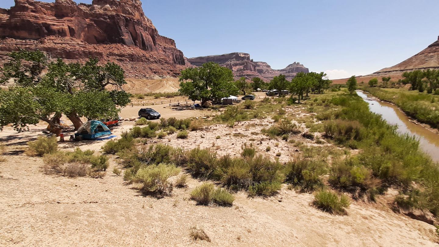
Buckhorn Draw sits along the San Rafael Swell's northern corridor, a tributary canyon carved into layered sandstone beneath towering cliffs. Sites with picnic tables and fire rings line the main draw road, offering access to slot canyons, petroglyphs, and wilderness hiking. Site count is unknown, with both RV and group sites available. Vault toilets and information stations are scattered throughout.
A developed campground with individual campsites (picnic tables and fire rings), multiple group sites, and vehicle-specific site designations allowing RVs and small trailers at many sites. Much of the surrounding landscape is designated wilderness for non-motorized recreation.
Weather and SeasonsBest season: fall. Fall offers the most stable weather and the best combination of comfortable daytime temperatures (typically 60–75°F) and cool, clear nights (30s–40s), making long canyon hikes and wildlife viewing enjoyable. Riparian corridors along the draw show golden cottonwoods in October and wildlife activity peaks as animals prepare for winter. Crowds are lighter than summer, roads are usually dry and passable for most vehicles, and afternoon monsoon risk is gone.
Peak months: October, September, May, April
Avoid: December, January, February
Elevation5581 ft above sea level
Weather data by Open-Meteo.com, licensed under CC BY 4.0, processed by Outdoorithm.
Natural Features and SceneryThe San Rafael River's longest tributary canyon cuts a nine-mile path through the Colorado Plateau, ending at the Swinging Bridge confluence. Striped sandstone walls rise on both sides, their faces catching light throughout the day. The canyon floor alternates between sagebrush flats and riparian corridors where cottonwoods turn gold in October. Mule deer browse the draw and desert bighorn sheep navigate side canyons. Sids Mountain Wilderness flanks the west, Mexican Mountain Wilderness the east. Reviewers describe it as "National Park views without the national park prices" and compare it to a "small grand canyon." Slot canyons branch off the main draw, including one up Furniture Draw slightly east of the marked Google Maps location.
 4.73
4.73