The Magnolia 1 loop is one of three camping areas at Manatee Springs State Park, offering 80 total sites with water and electric hookups throughout. Each loop features hot-shower restrooms and sits within easy walking distance of the park's crystal-clear spring and scenic boardwalk, with a convenient dump station available for those without sewer connections.
The campground consists of three family loops (Magnolia 1, Magnolia 2, Hickory) with 80 campsites total; Magnolia 1 contains tent-only sites and the loops provide a mix of site surfaces and services. The park also offers glamp-site lodging in the Hickory Loop and separate youth group camp areas.
Weather and SeasonsThe cooler months bring more than just comfortable temperatures—park rangers enhance your visit with interpretive programs that bring the park's natural and cultural history to life. Whether you're visiting during the mild winter when manatees gather in the warm spring waters or enjoying the lush greenery of other seasons, this campground offers a genuine North Florida experience.
Weather data by Open-Meteo.com, licensed under CC BY 4.0, processed by Outdoorithm.
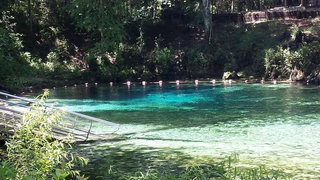
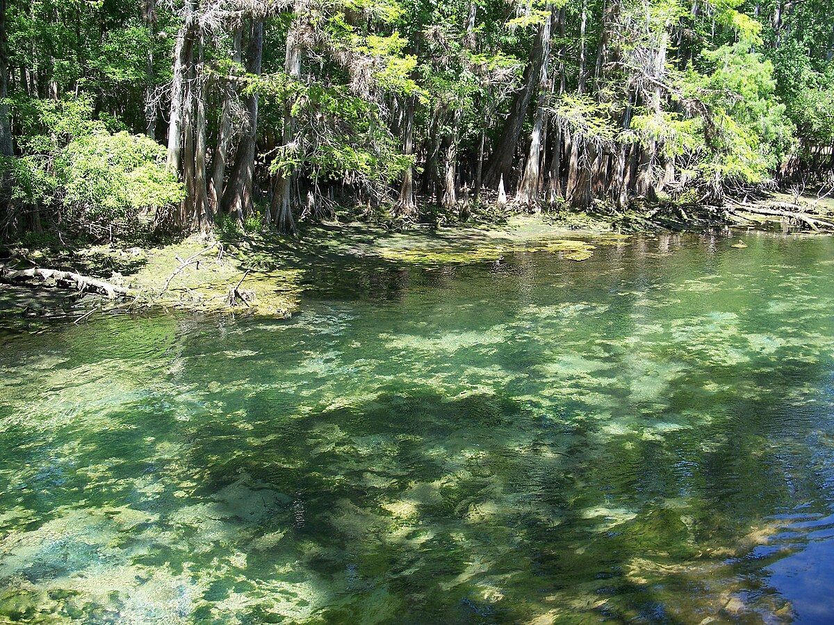
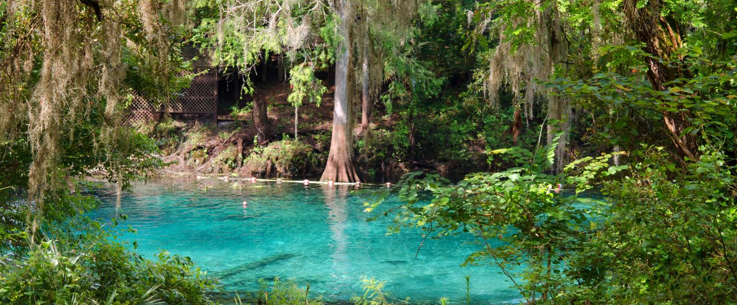
Natural Features and SceneryNestled among towering trees near one of Florida's most beautiful first-magnitude springs, this campground puts you right in the heart of Old Florida nature. A winding boardwalk leads you from the pristine spring through a mystical cypress swamp toward the legendary Suwannee River, where paddlers can launch their boats and explorers can set out on hiking and mountain biking trails that wind through the surrounding wilderness. The spring itself serves as a winter refuge for manatees, while the diverse habitats support wildlife viewing opportunities year-round.
Scenic ViewsMostly wooded campsite views within a mixed hardwood/pine canopy; the spring, spring run and the Suwannee River with adjacent cypress-swamp boardwalk are the primary scenic highlights a short walk from the campground.
 4.53
4.53