Go if
Hikers headed into the Hoover Wilderness or anglers wanting a quieter stretch of creek than nearby campgrounds offer. The Buckeye Hot Springs cave pool is a genuine draw, and summer nights in the 30s–40s suit anyone who came prepared for cold.
 3.7650 reviews
Price
$24/night
Booking
Check Site
Sites
Varies
Season
Opening and closing ...
Cell
Unknown
Pets
Check Policy
Elevation by Open-Meteo.com, licensed under CC BY 4.0, processed by Outdoorithm.
Price
$24/night
Booking
Check Site
Sites
Varies
Season
Opening and closing ...
Cell
Unknown
Pets
Check Policy
Elevation by Open-Meteo.com, licensed under CC BY 4.0, processed by Outdoorithm.
We'll monitor this campground and alert you the moment sites become available.
Free to start · paid plans add 2-min scans
263,000+ sites monitored · Email alerts to start; SMS and in-app with an account
Learn more about alerts →Buckeye
38.2389, -119.3254
We'll monitor this campground and alert you the moment sites become available.
Free to start · paid plans add 2-min scans
263,000+ sites monitored · Email alerts to start; SMS and in-app with an account
Learn more about alerts →Hikers headed into the Hoover Wilderness or anglers wanting a quieter stretch of creek than nearby campgrounds offer. The Buckeye Hot Springs cave pool is a genuine draw, and summer nights in the 30s–40s suit anyone who came prepared for cold.
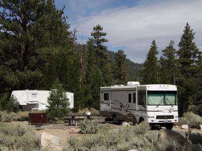
No potable water on site is a hard logistical fact, haul in or filter. Reviewer sentiment has been sliding lately, and the vault toilets are the only facilities. RVs and large vehicles don't fit the site layout.
Reference information about Buckeye sourced from official USFS records and forestcamping.com. View official recreation.gov page →
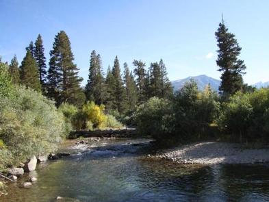
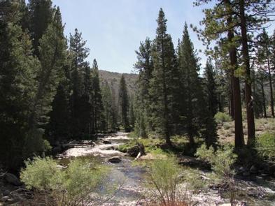
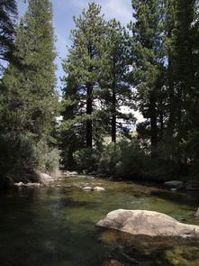
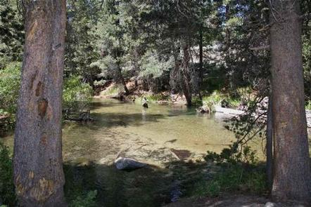
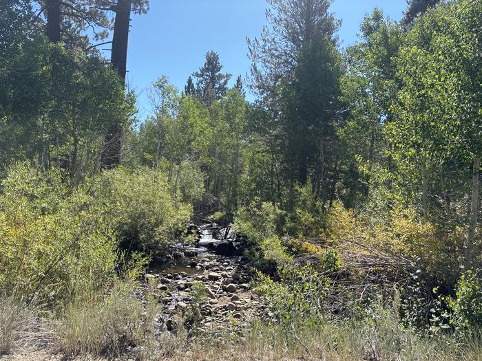
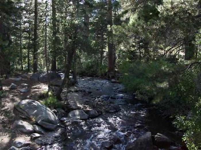
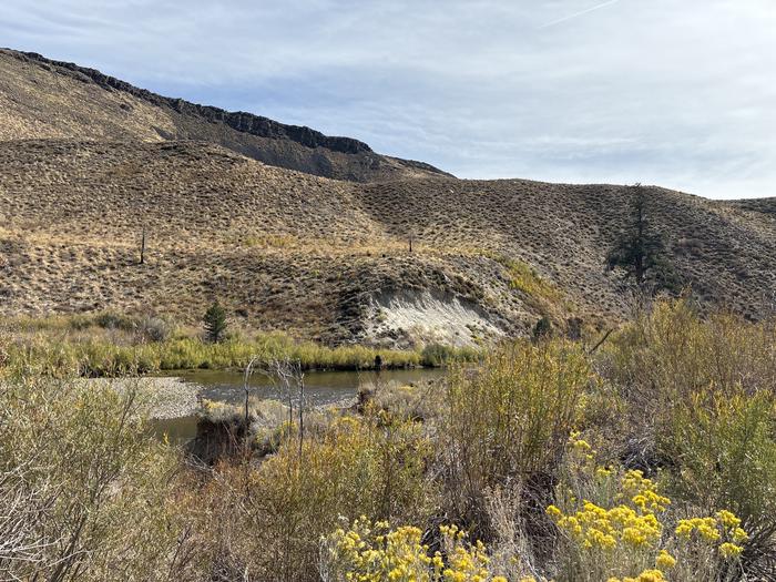
<p>Buckeye Campground provides a quiet camping experience. The campground is on Buckeye Creek and is shaded by Jeffrey and Lodgepole pines. Hiking along Buckeye Creek into the nearby Hoover Wilderness. Hiking on Eagle Creek to the flanks of Eagle Mountain. Buckeye hot spring (140 degrees F) is just east of the campground. The spring comes out above the creek, over a rock overhang, which creates a cave-like area in the pool. Another small spring is upstream. This is a very popular spring year round. Fishing in Buckeye Creek offers different kind of fishing experience to get away from crowds. Trails are nearby to Yosemite. Nearest lakes are four miles from campground.</p><p><strong>***NO drinkable water available.</strong></p>
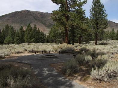
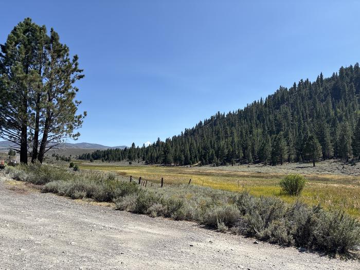
The elevation is 7,520 ft. The campground, located on the east ridge of Buckeye Mountain well above Buckeye Creek, stretches out for 0.3 miles and is composed of five loops - Loop 1, sites 1-11; Loop 2 (a trailhead); Loop 3, sites 13-21; Loop 4, sites 23-41; and Loop 5, sites 42-68. Loop 1 is at far end of campground with the smallest parking aprons. Loop 5 is closest to campground entrance. Loop 4 Toiyabe National Forest 513 has the largest parking aprons. Overall, the overstory is comprised of Jeffrey pine with some fir and Aspen; the Aspen are mostly in loop 5. The understory is Sagebrush with a ground cover of dirt and pine needles. Some camp sites in Loop 4 have a spectacular view of valley and distant mountains. Loop 3 is tent only. Unless using the paved parking apron, pitching a tent on some sites in this loop will be a challenge. Loop 3 is not conducive to group camping either. All the trees are second growth as they were harvested in 1862/63 and used in the construction of houses and mines in Bodie, CA. Firewood is available for a fee. This is bear country; practice safe food storage techniques. It is illegal and unlawful to feed wildlife of any kind. To report sightings of wildlife feeding, contact the Bridgeport Ranger Station at 760-932-7070. NOTE: Loop numbers are arbitrarily established by the authors.
Open May 24 through September 22 - weather dependent
The parking aprons are paved. RV dump stations, with potable water, are available for a fee at: Annett's Mono Village (38.148, - 119.378) 13425 Twin Lakes Rd, Bridgeport, CA; Paradise shoes RV Park (38.288, -119.215) 2344 CA - 182, Bridgeport, CA; and, Mono Vista RV Park (37.959, -119.113) 57 Beaver Lane, Lee Vining, CA
In Bridgeport, CA, at intersection of US Rt. 395 and Twin Lakes Rd., take Twin Lakes Rd. south 7.2 miles to campground sign. Turn right at sign onto Buckeye Rd. and go 2.8 miles to a "Y" intersection and campground sign. Bear left and go 0.7 miles to campground. NOTE: After 0.4 miles, Buckeye Rd. becomes dirt with washboard surface.
Official information for Buckeye from the federal Recreation.gov facility record. View official page →
Buckeye campground provides a quiet camping experience. The campground is on Buckeye Creek and is shaded by Jeffrey and Lodgepole pines. Hiking along Buckeye Creek into the nearby Hoover Wilderness. Hiking on Eagle Creek to the flanks of Eagle Mountain. Buckeye hot springs (140 degrees F) is just east of the campground. The spring comes out above the creek, over a rock overhang, which creates a cave-like area in the pool. Another small spring is upstream. This is a very popular spring year round. Fishing in Buckeye Creek offers different kind of fishing experience to get away from crowds.
This tent and small vehicle friendly campground offers single family campsites that include picnic tables and campfire rings. Vault toilets and garbage service is provided. Firewood is available for purchase from the host. The campground does not have potable water.
The Buckeye campground is at an elevation of 7000 feet.
Caution: Black bears frequent the area; all food must be kept in approved containers.
Opening and closing dates depend heavily upon weather conditions.
<p>1. Follow Highway 395 south from Bridgeport, turn left and travel approximately seven miles on Twin Lakes Road.</p> <p>2. Turn right on Buckeye Road at Doc and Al's Resort and travel about 3 miles.</p> <p>3. Turn left at fork and travel another mile to campground.</p>

Availability, what to pack, similar spots — ask anything and get an instant answer.
Best season: summer. Summer offers the most reliable access and the warmest, driest weather at 7,000 ft — expect daytime highs around 60–75°F and cool nights in the 30s–40s. Trails into the Hoover Wilderness are generally snow-free by mid-July, making hiking and creek fishing prime activities, and nearby natural hot springs are most pleasant after a day on the trail. Crowds are moderate compared with lower-elevation Sierra destinations, but afternoons can bring isolated thunderstorms, so plan hikes for mornings and‑ Peak months: July, August, September, June Avoid: November, December, January, February
Best season: summer offers most reliable access and warmest weather at 7,000 ft.
Weather data by Open-Meteo.com, licensed under CC BY 4.0, processed by Outdoorithm.
The campground does not have potable water.
Researching this campground? Ask anything — other campers and our team will weigh in. No visit required.
Short heads-ups about the road in, gear quirks, and timing, compiled by Outdoorithm from public reviews and operator information.
Rate Buckeye
Been here? Tap a star to start. Takes about a minute.
Sign-in required only if you want your name on it.

No review summaries available for this campground yet.
Check back later as we continuously analyze new reviews.
Be the first to review this campground
Every adventure creates another. Share what you learned so the next camper feels a little more prepared heading out.