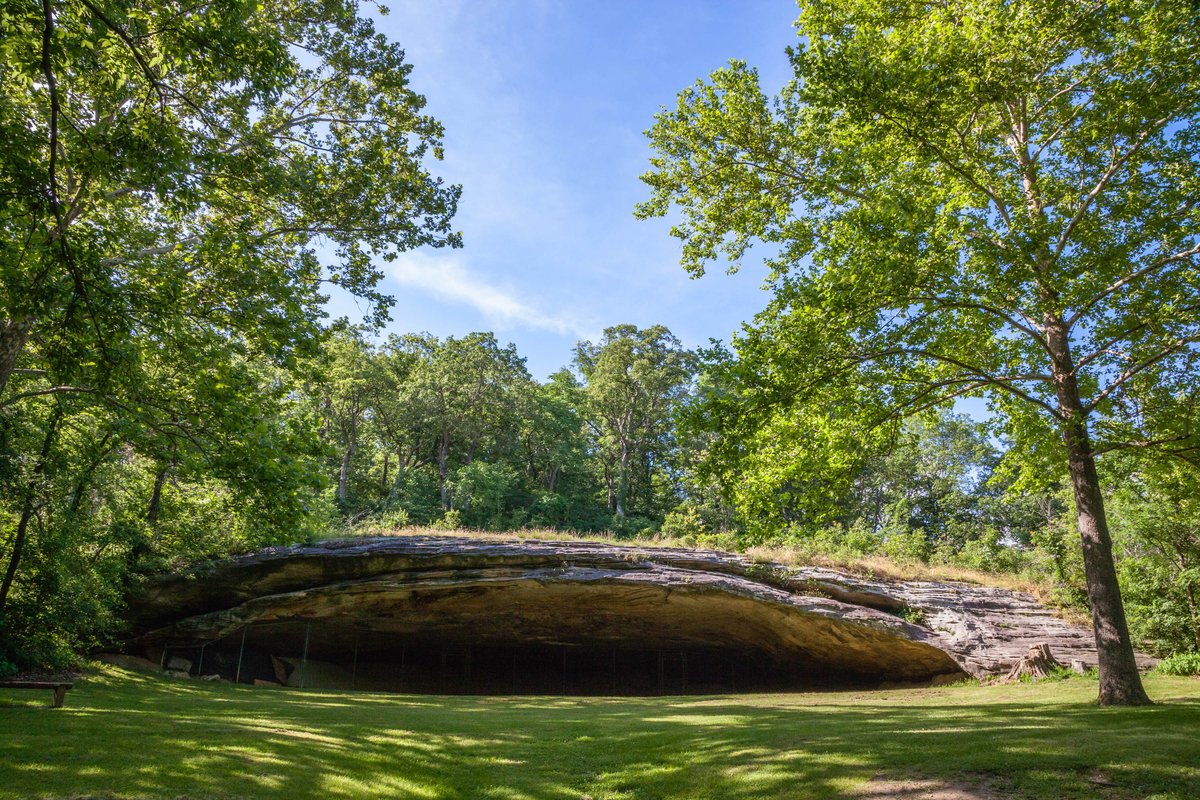
Graham Cave State Park's 386-acre campground sits on wooded bluffs above the Loutre River, where a sandstone rock shelter has protected evidence of human occupation dating back 8,000–10,000 years. Short, well-marked trails connect the small campground to the fenced cave mouth, interpretive exhibits, and a boat ramp on the river below. Highway noise from nearby I-70 reaches many sites.
The official page indicates the park has a campground but does not specify campsite types (tent, RV, primitive, group) or cabin/lodging details on the provided page.
Artifacts uncovered in Graham Cave indicate occupation by people 8,000 to 10,000 years ago. Interpretive exhibits along the cave trail explain the cultural and natural significance of the shelter and the hunter-gatherer societies that lived here during the Dalton and Archaic periods. The cave mouth is now fenced and partially filled, so interior access is limited. Weather and SeasonsFall offers the best combination of mild weather, vivid glade and riverbank color, and excellent hiking conditions. Daytime highs typically range from the mid-50s to upper-60s°F (45–70°F), with crisp mornings. Trails and the open glades are at their most scenic in September–October, while river levels are often lower and calmer for paddling or fishing. Crowds are generally lighter than summer weekend peaks, making it easier to enjoy the cave, interpretive exhibits, and quiet riverside campsites. Spring brings pleasant hiking weather and wildflowers. Summer means lush foliage, more traffic, bugs, and muddy trails after rain. The park's small size and heavy tree cover make it a popular shoulder-season or overnight stopover rather than a winter destination.
Weather data by Open-Meteo.com, licensed under CC BY 4.0, processed by Outdoorithm.
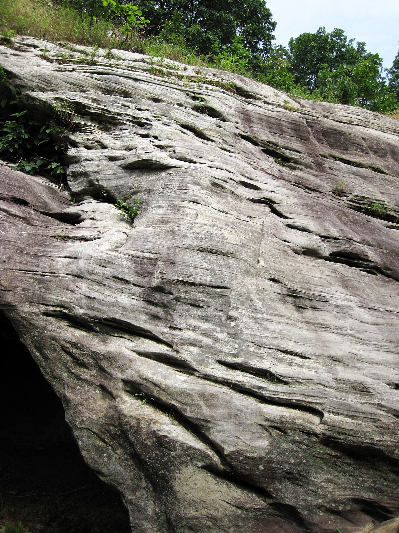
Natural Features and SceneryThe park's centerpiece is the massive sandstone Graham Cave, a rock shelter that opens onto interpretive displays explaining Dalton and Archaic-period occupation. Beyond the cave, the Graham Cave Glades Natural Area preserves rare glade ecosystems where prairie vegetation meets wooded bluffs at 761 feet elevation. Below the bluffs, the Loutre River winds through dense forest accessible via a paved boat ramp. Trails drop through forested ravines to a small waterfall that flows after rain. White-tailed deer are common along the trails and near the campground loop. Views here are intimate woodland scenes. Cave mouth, river glimpses, and seasonal wildflowers. Rather than overlooks.
Geological RegionGraham Cave Glades Natural Area — cave and glade landscape on wooded bluffs above the Loutre River
Scenic ViewsScenic views of Graham Cave and its fenced cave mouth, the surrounding glades and wooded bluffs, and the Loutre River from park access points.
 4.07
4.07