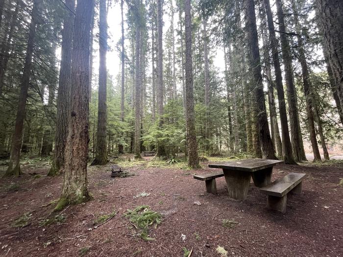
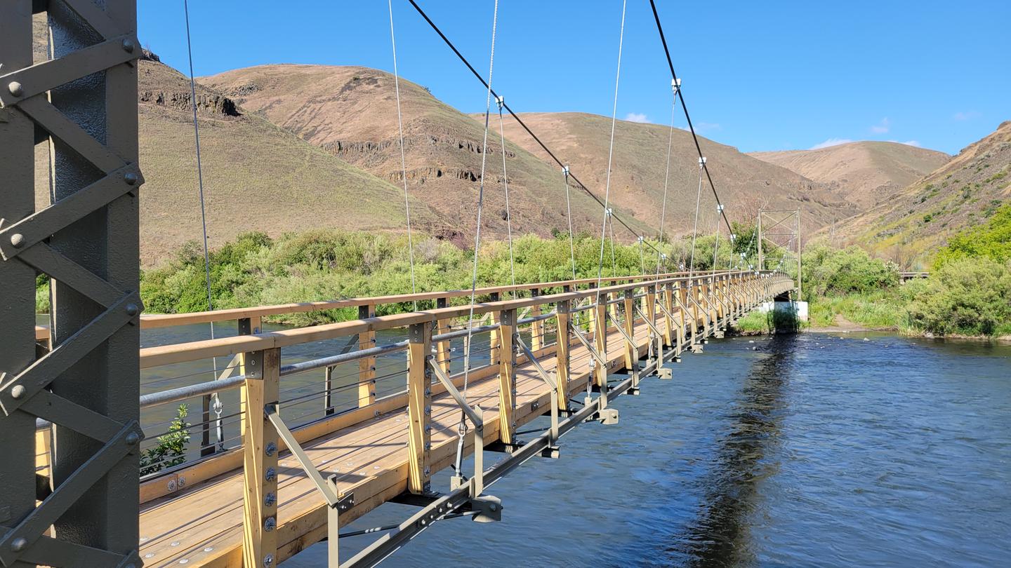
Umatilla Forks Campground sits where the South Fork and North Fork of the Umatilla River converge in northeastern Oregon, near the threshold of the North Fork Umatilla Wilderness. Dense riparian growth. A mix of conifers and deciduous trees. Creates naturally screened sites. It's first-come, first-served, with payment via Recreation.gov's Scan and Pay feature at your site.
Campsites are available on a first-come, first-served basis and are set within a riparian area between the South Fork and North Fork Umatilla Rivers, offering a wilderness-like setting. Specific site types (tent, RV, primitive, group, cabin, glamping) are not stated in the source material.
Weather and SeasonsBest season: fall. Fall offers the best combination of comfortable weather, vivid canyon color, and lighter crowds — daytime highs are commonly in the mid-50s to mid-70s°F with cool nights dropping into the 30s–40s°F. Anglers find excellent late-season fishing as fish concentrate in lower, clear pools and hiking is at its peak with crisp air and colorful hardwoods framing the river confluence. Trail and campsite use typically decreases after Labor Day, so you get quieter access to nearby North Fork Umatilla trail
Peak months: September, October, June, May
Avoid: November, December, January, February
Natural Features and SceneryThe campground occupies a riparian corridor at the meeting point of two mountain rivers, with Graves Butte rising above the surrounding Blue Mountain terrain. Heavy vegetation. Conifers mixed with hardwoods. Lines the confluence, creating a lush transition zone between the rivers and the wilderness beyond. The forest is thick enough to isolate each site visually, and the sound of moving water is constant. In fall, the deciduous trees turn vivid colors against the evergreen backdrop, framing the clear pools below.
 0
0