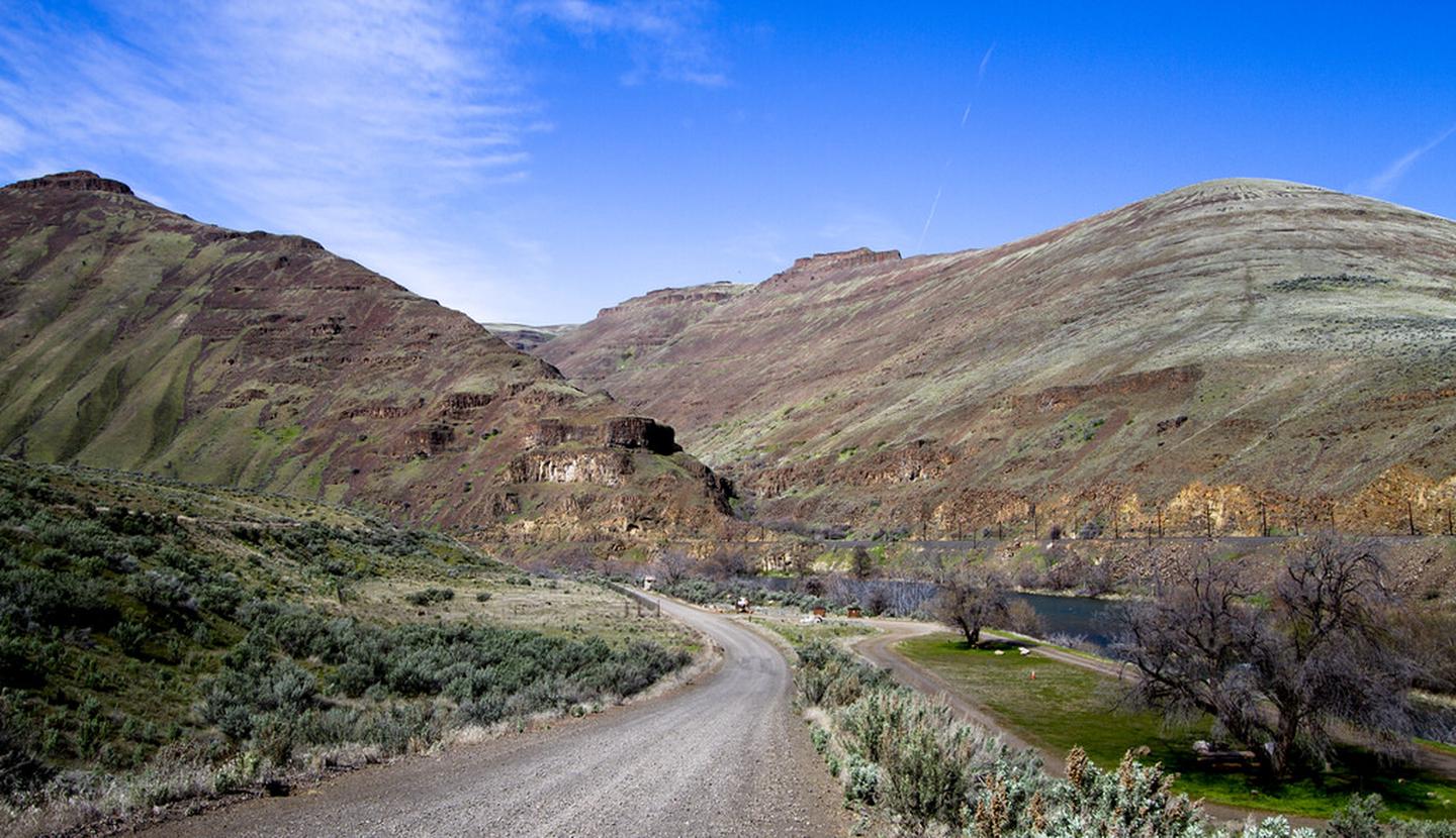
John Day River Basin Developed Campgrounds
 00 review
Real-Time Availability
Select a month, then check for open campsites
Quick Facts
2,000 ftPrice
$5/night
Booking
Walk-in Only
Sites
21 campsites
Season
Year-round
Cell
No Service
Pets
Check Policy
Real-Time Availability
Select a month, then check for open campsites
Quick Facts
2,000 ftPrice
$5/night
Booking
Walk-in Only
Sites
21 campsites
Season
Year-round
Cell
No Service
Pets
Check Policy
Get Notified When Available
We'll monitor this campground and alert you the moment sites become available.
Free to start · paid plans add 2-min scans
256,000+ sites monitored · Email, SMS, or in-app notifications
Learn more about alerts →Campground Map
John Day River Basin Developed Campgrounds
44.7940, -120.0010
Weather at John Day River Basin Developed Campgrounds
About John Day River Basin Developed Campgrounds
About John Day Wild and Scenic River
Context for the broader area surrounding John Day River Basin Developed Campgrounds, sourced from the federal Recreation.gov rec-area record. View official page →
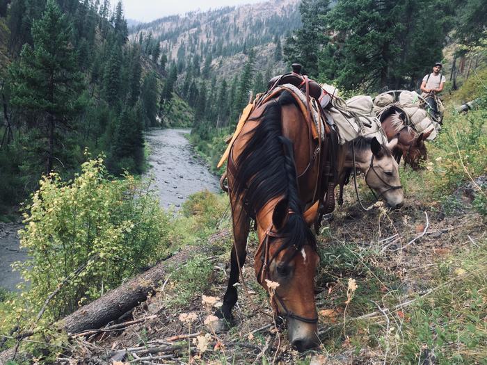
<p>From its headwaters to Camas Creek, the North Fork of the John Day River is one of the most important rivers in northeast Oregon for the production of anadromous fish. Wildlife found along the river's corridor include mule deer, elk, and black bears, along with peregrine falcons and bald eagles. Recreation opportunities include hunting, fishing, sightseeing, horseback riding, hiking, snowmobiling, skiing, camping, and whitewater rafting</p> <p>The John Day River system is fortunate to have designation under two important river preservation programs: the National Wild and Scenic Rivers Act and the Oregon Scenic Waterways Act. Together, these two acts, one a federal program and one a state program, provide the best protection available today for the natural, scenic, and recreational values of our river environments.</p> <h2>Know Before You Go:</h2> <ul> <li>Permits: An online boating permit is required year-round to boat the John Day Wild and Scenic River between Service Creek and Tumwater Falls. Permits can only be obtained on <a href="https://www.recreation.gov/" rel="nofollow">recreation.gov</a>, which offers a site for <a href="https://www.recreation.gov/permits/621745" rel="nofollow">John Day River Day Use Permits</a> and <a href="https://www.recreation.gov/permits/621746" rel="nofollow">John Day River Overnight Permits</a>.</li> <li>Carry Out Human Waste: On overnight trips, all boaters are required to carry and use a leak-proof, portable, reusable toilet system to remove solid human waste from the river canyon. The toilet must be large enough to service the entire party for the complete length of the trip. Toilets using plastic bags are not acceptable, with the exception of the Wag Bag or similar human waste pouch designed for this purpose, which are permitted. Used Wag Bags must be transported in a leak-proof container. River toilet dump stations are not available at the takeouts. Dumpsters are provided at Clarno and Cottonwood during high season. A list of RV dump stations is posted on BLM bulletin boards. Disposing of Wag Bags in a river toilet dump station or vault toilet is prohibited.</li> </ul> <p>For more information about the John Day River including what to know before you go, please visit: <a href="https://www.blm.gov/programs/recreation/permits-and-passes/lotteries-and-permit-systems/oregon-washington/john-day-river" rel="nofollow">https://www.blm.gov/programs/recreation/permits-and-passes/lotteries-and-permit-systems/oregon-washington/john-day-river</a>.</p> <h2>Point of Interest:</h2> <p>The John Day River is one of the longest free-flowing rivers in the continental United States and is the longest undammed tributary of the Columbia River.</p>
Directions
<u>Service Creek </u>: From Prineville, Oregon:Take US 26 east out of town and drive 46.5 miles to OR 207 N. Turn left and drive 23.5 miles. Service Creek Campground and boat launch will be on the right.<br><br> <u>Clarno </u>: From Prineville, Oregon:Take US 26 north out of town and drive 30 miles to US 97. Turn right and stay on US 97 for 19.5 miles. Turn right on OR 293 and proceed 13.6 miles to OR218 and turn right continuing another 15 miles to the Clarno Boat Launch on the left (north) side of the highway.